22 m away
Burgstall Wand

A wide, open and easy slope which usually has lovely snow.
Easy Freeride Skiing
- Distance
- 967 m
- Ascent
- 1 m
- Descent
- 220 m
The access hike for 4 freeride lines.
Freeride Skiing Moderate
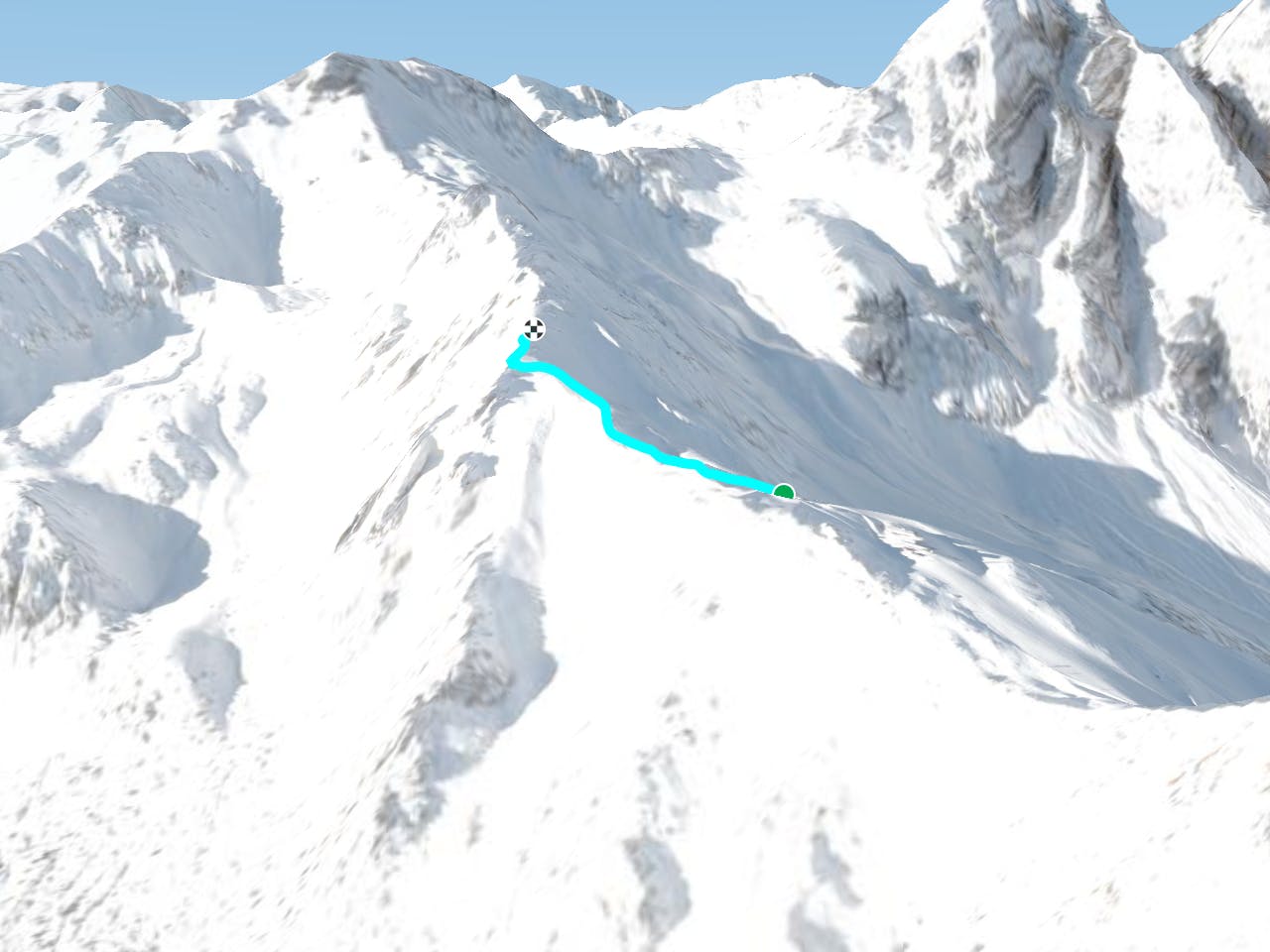
This is a popular freeride skiing route which is generally considered to be moderate. It's remote, it features low exposure (e1) and is typically done between December and April. From a low point of 2.2 km to the maximum altitude of 2.3 km, the route covers 380 m, 85 vertical metres of ascent and 0 vertical metres of descent.
This line is used to access Zirmachbahn Rinne, Hoher Burgstall Sud 2, Hoher Burgstall Sud 1, Niederer Sud
Moderate
Slopes become slightly steeper at around 25-30 degrees.

Exposure is limited to that of the slope itself. Getting hurt is still likely if the slope is steep and/or the snow is hard.

Away from help but easily accessed.
22 m away
A wide, open and easy slope which usually has lovely snow.
Easy Freeride Skiing
63 m away
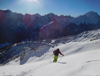
A stunning run with one of the best hike:fun ratios of any freeride line in Austria.
Difficult Freeride Skiing
227 m away

A fun little variant.
Moderate Freeride Skiing
276 m away

A great, narrow couloir and then some brilliant tree skiing.
Difficult Freeride Skiing
300 m away

An excellent little line which is well worth the 10 minute access hike.
Difficult Freeride Skiing
302 m away

Hoher Sud 1
Difficult Freeride Skiing
1.1 km away

A fun line that follows an opening through a forest.
Moderate Freeride Skiing
1.2 km away

A short tree run which serves as a good warmup.
Moderate Freeride Skiing
4.1 km away

A steep and exciting couloir.
Severe Freeride Skiing
4.3 km away

A lovely, open slope in a wild range of rocky peaks.
Difficult Freeride Skiing

7 routes · Freeride Skiing

50 routes · Freeride Skiing · Ski Touring
10 routes · Freeride Skiing

10 routes · Freeride Skiing