1.4 km away
Seblaskreuz
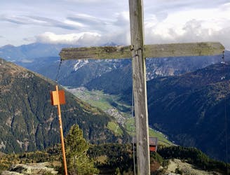
Summit a peak in the heart of the Stubaital and visit one of the area's best mountain huts
Severe Hiking
- Distance
- 9.4 km
- Ascent
- 962 m
- Descent
- 962 m

This route is made for everyone who loves easy ridge hiking.
Hiking Difficult

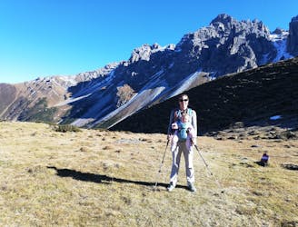
This route rewards the quite long and tiring approach to the ridge with a world class panorama hike on easy terrain.
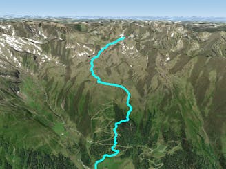
Quick-starting from Seduck at the Oberberg Valley, this trail begins with quite a steep approach up to the Seducker Hochalm hut. After you’ve walked for the first minutes, you have the opportunity to choose between a steep trail or the easier Jubiläumssteig going right (north). Both trails meet above the tree line where they continue their way south-west to the hut.
As you reach the hut, use the opportunity to refill your bottles as the following hike only crosses one stream (Tiefenbach) which might be desiccated in summer.
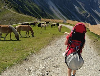
The next section follows the Stubaier height trail starting north east of the hut. It consists of a long traverse up to the Sendersjöchl col. The trail gently increases in heights and passes lovely meadows. As the trail reached the col, you have to turn left (west) aiming for the first peak.
After a short but steep approach over a slightly exposed ridge, you’ll reach the Marchsäule peak.
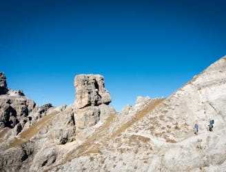
You’ll then continue onto a very rewarding section of hiking with a fabulous view on both sides of the ridge. The trail wiggles it’s way north and south of the ridge over some easy and little exposed terrain until it reaches the main peak of this hike.
As you reach the Schwarzhorn peak, you’ve made to the highest point of the tour. Enjoy your well deserved rest, but keep the long descent in mind.
From there on, the route begins to lead the way down. Follow the ridge for a long time and cross the Hohe Schöne peak until you reach the Wildkopfscharte col.
Now take the short but steep trail on your left (south) down to the Seducker Hochalm hut. The long awaited cold drink and some traditional food is being served here with a great view over the Oberberg valley.
Continue the way down to Seduck to reach the parking lot.
Difficult
Hiking trails where obstacles such as rocks or roots are prevalent. Some obstacles can require care to step over or around. At times, the trail can be worn and eroded. The grade of the trail is generally quite steep, and can often lead to strenuous hiking.
1.4 km away

Summit a peak in the heart of the Stubaital and visit one of the area's best mountain huts
Severe Hiking
3.7 km away
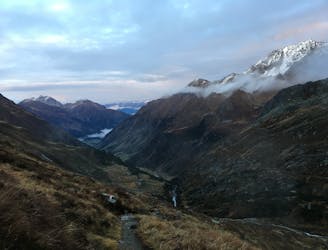
A classic there-and-back hike to a dramatic peak
Severe Hiking
3.7 km away

An adventures route with easy alpine climbing through a picturesque part of the stubai alps.
Severe Hiking
6.6 km away
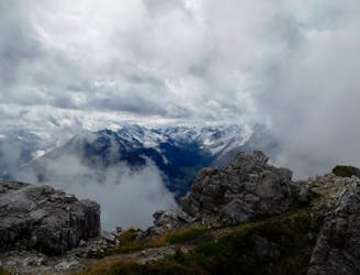
A beautiful summit which is famous for being the first ever Alpine peak climbed by Sir Edmumd Hillary!
Difficult Hiking
7.1 km away
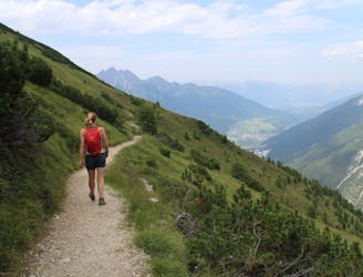
A wonderful, mid-length, circular hike with impressive scenery through the dramatic peaks of the Stubai Valley.
Difficult Hiking
7.5 km away
A short but densely packed journey through some fabulous mountain scenery.
Moderate Hiking
7.6 km away

One of the smaller hiking tours in Stubaital to the beautiful Kaserstattalm.
Difficult Hiking
8.5 km away
Sunny hike up to a picturesque summit passing a fabulous mountain lake.
Moderate Hiking
8.5 km away
A brilliant short hike via the Hochtennbodensteig which takes you through some of the finest rock architecture in Austria in return for minimal physical effort!
Difficult Hiking
8.5 km away
An atmospheric and wild-feeling hike through Tirol's finest mountains.
Difficult Hiking
9 routes · Alpine Climbing · Hiking
4 routes · Hiking
5 routes · Hiking
9 routes · Hiking

25 routes · Hiking
3 routes · Mountain Biking · Hiking
7 routes · Hiking