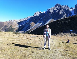
2.9 km away
Kaserstattalm

One of the smaller hiking tours in Stubaital to the beautiful Kaserstattalm.
Difficult Hiking
- Distance
- 10 km
- Ascent
- 964 m
- Descent
- 964 m
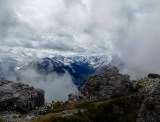
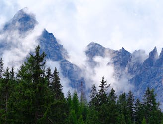
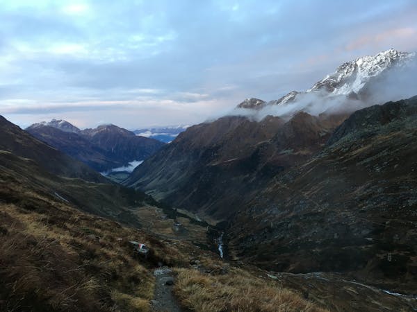
A wonderful, mid-length, circular hike with impressive scenery through the dramatic peaks of the Stubai Valley.
Hiking Difficult

The hike begins from the Elferbahn cable car in the village of Neustift. Be aware that the lift itself is not well signposted, there is an easy-to-miss turning for it from the centre if the village, indicating a lefthand turn on to Moos. From the top of the cable car, briefly follow the hiking path eastwards, which is signposted Sonnenzeitweg and Rundwanderweg Elfer, to shortly branch off to the right and continue following Sonnenzeitweg and Rundwanderweg Elfer.
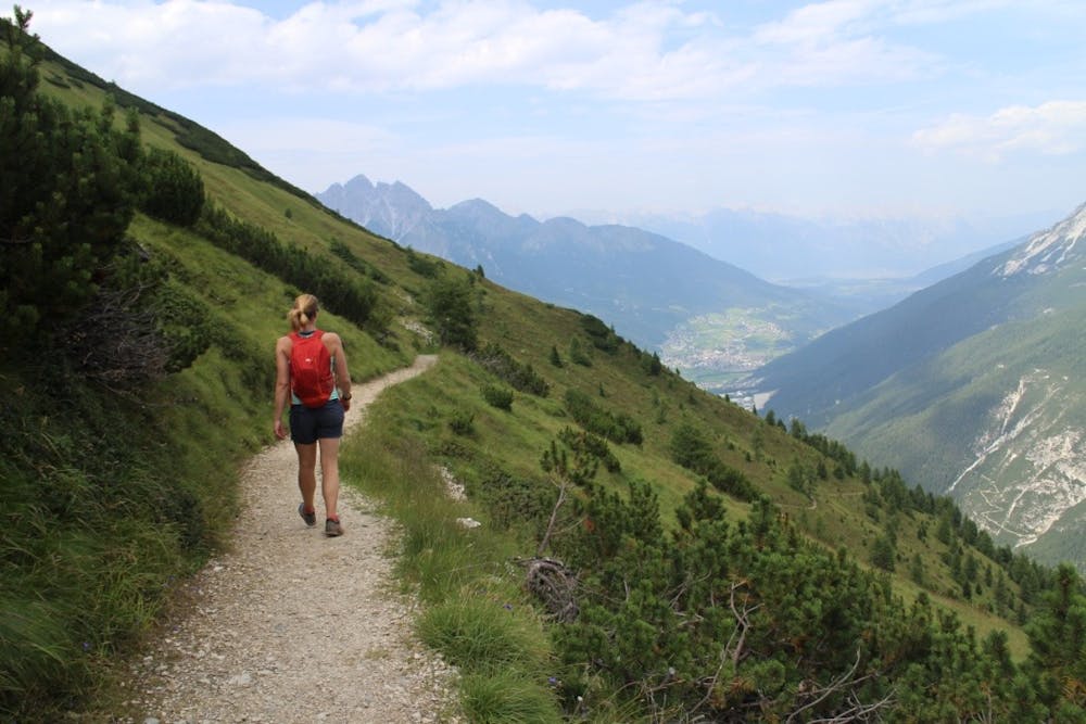
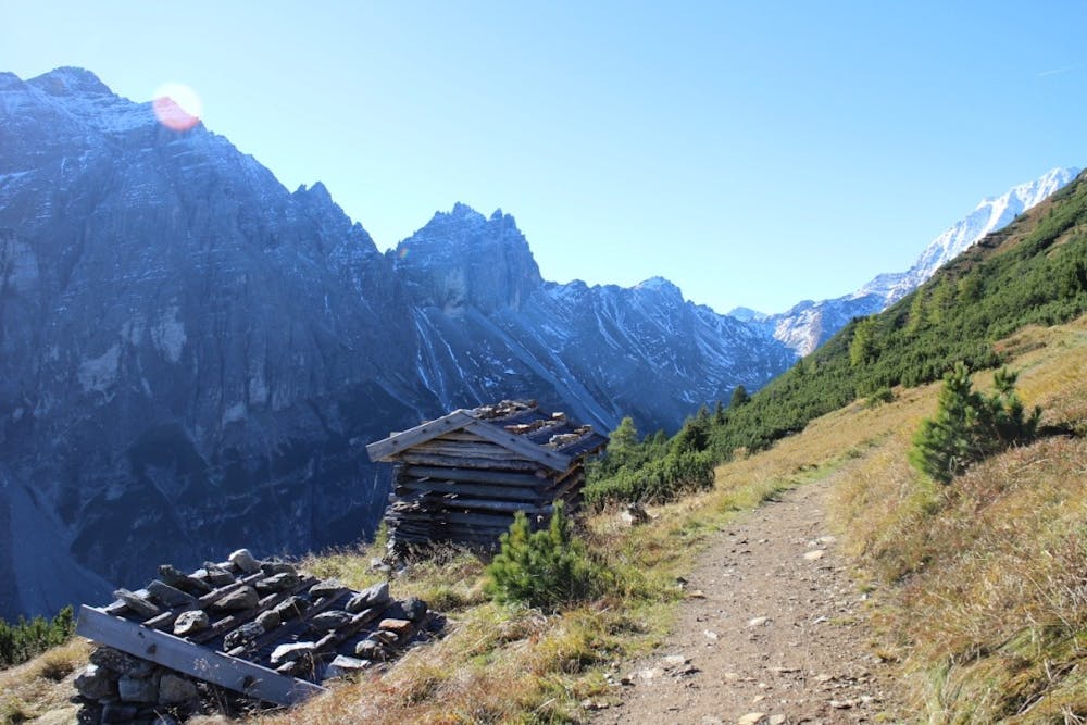
Continue up this lovely hiking path for around 1/2 hour to reach a gentle plateau, from where you will be able to see the fantastic peaks of the Stubaital for the first time. A further 10 minutes will bring you to the next series of signposts. Continue on in the direction of ‘Sonnenzeit’ for another 1/2 hour, and at the next junction, take the right hand path towards Zwölfernieder.
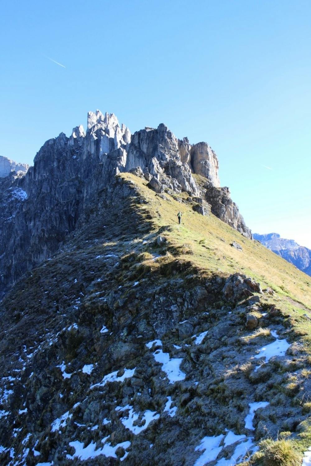
Follow the path as it climbs gently towards a col, then at the junction just before the col itself, take the right hand path, signposted Elferhütte. Up ahead tower some imposing rock buttresses, and the hiking path becomes quite steep and in places a little exposed as it traverses around the base of these buttresses. For those feeling adventurous, a short but fun grade C via ferrata passes over the top of these rocks and rejoins the hiking path later on, providing an alternative route if you have the correct kit with you. Continue along the traverse path, making sure to follow the red and white paint markers, as it starts to wind upwards again, and after around 45 minutes you will reach another set of signposts. From here there are 2 options, to either branch off to the left and follow the sign to nip up to the summit of the Elferspitze, which is only another 15 minutes uphill, or to simply continue along the hiking path which now starts to head downhill towards the Elferhütte and the cable car.
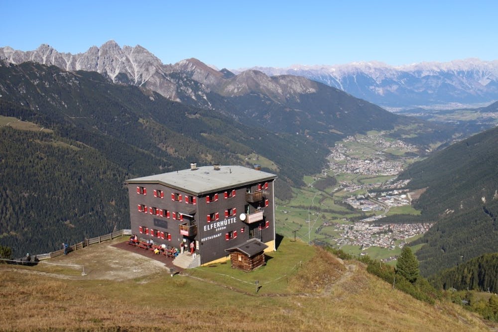
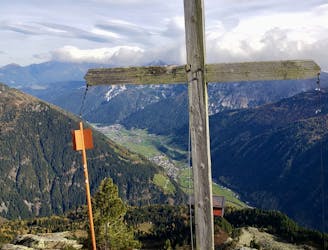
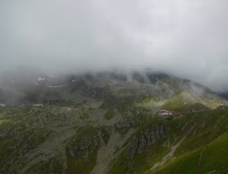
From here the uphill is done and the remainder of the route is all downhill. The path is quite steep in parts and depending on the time of year may well still have some snow patches on it. A few sections can feel a little exposed, especially if snowy underfoot, and walking poles may come in handy. The Elferhütte will soon come into view and is well worth a pit stop before the final descent. The location is second to none, with incredible views across the Inn Valley. The path winds down towards the Elferhütte, always following the red and white paint markers, then from here the Elferbahn cable car is just 30 minutes further to complete the hike.
Difficult
Hiking trails where obstacles such as rocks or roots are prevalent. Some obstacles can require care to step over or around. At times, the trail can be worn and eroded. The grade of the trail is generally quite steep, and can often lead to strenuous hiking.

The trail contains some obstacles such as outcroppings and rock which could cause injury.

Little chance of being seen or helped in case of an accident.
2.9 km away
One of the smaller hiking tours in Stubaital to the beautiful Kaserstattalm.
Difficult Hiking
5.3 km away
A beautiful summit which is famous for being the first ever Alpine peak climbed by Sir Edmumd Hillary!
Difficult Hiking
5.9 km away
Summit a peak in the heart of the Stubaital and visit one of the area's best mountain huts
Severe Hiking
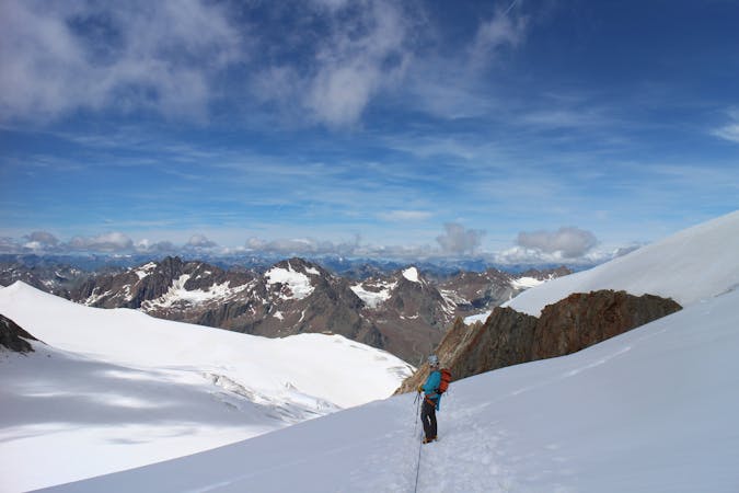
6.6 km away
A long uphill trip which accesses a beautiful hut.
Moderate Hiking
7 km away

A must-do for all wildflower lovers as the Blaser is known as the most beautiful flower-mountain in Tirol.
Moderate Hiking
7.1 km away

This route is made for everyone who loves easy ridge hiking.
Difficult Hiking
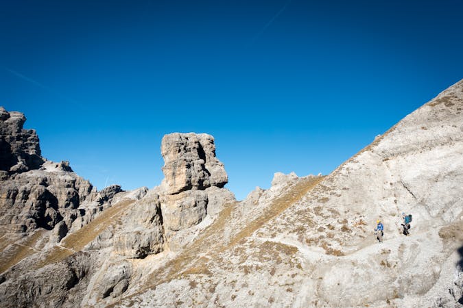
7.2 km away
The so-called “Altar of Tirol”, Serles is the most famous peak in the region, and rules the view above Innsbruck.
Severe Hiking
7.9 km away
An ideal trip for families to a truly unique mountain restaurant.
Easy Hiking
9.8 km away
A short but densely packed journey through some fabulous mountain scenery.
Moderate Hiking
9.9 km away

A classic there-and-back hike to a dramatic peak
Severe Hiking

9 routes · Alpine Climbing · Hiking
9 routes · Alpine Climbing · Hiking
4 routes · Hiking

5 routes · Hiking

9 routes · Hiking

25 routes · Hiking
3 routes · Mountain Biking · Hiking
7 routes · Hiking