5.1 km away
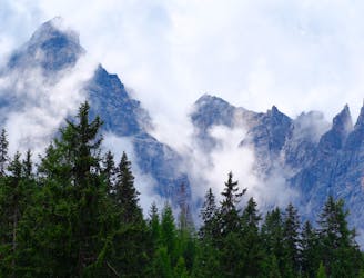
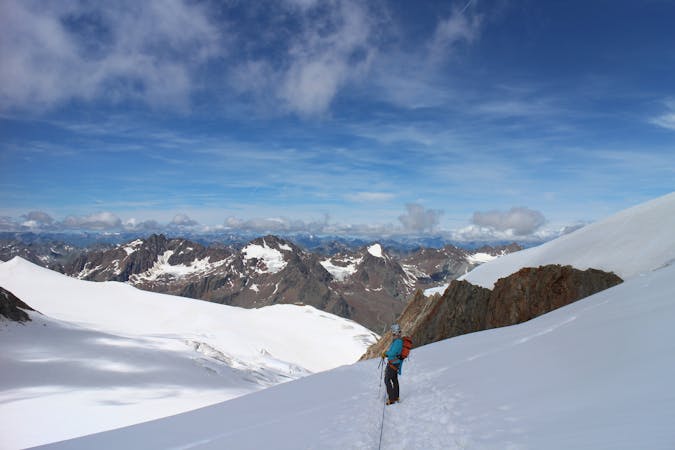
Serles
The so-called “Altar of Tirol”, Serles is the most famous peak in the region, and rules the view above Innsbruck.
Severe Hiking
- Distance
- 12 km
- Ascent
- 1.1 km
- Descent
- 1.1 km
A must-do for all wildflower lovers as the Blaser is known as the most beautiful flower-mountain in Tirol.
Hiking Moderate

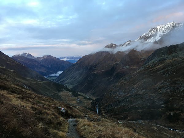
The Blaser is located in the Gschnitz valley, one of the Brenner side valleys.
You can take the train to Steinach and go on with well-timed bus to Trins Gemeindeamt, instead of going on the mostly very busy road up to the Brenner by car.
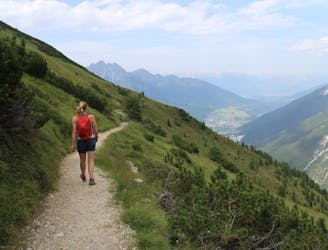
From the bus stop you follow the street for around 100 m before turning to the right (east) where the road becomes smaller and steep while passing the last houses. At the car park the path no. 30 leads you into the wood.
After a few minutes of walking you can take a small detour of 10 minutes rightwards to the unique viewpoint called “Adlerblick”.
Continuing through the forest the path crosses several clearings and crosses the forest road for two times.
A few meters after having passed a small cabin you’ll reach the tree line. From now on you cross the beautiful alpine meadows with its picturesque flowers and some hay barns until you encounter the forest road again next to a barn and a bench.
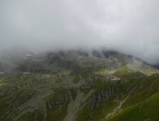
After a short sequence on the road the routes switches onto the path no.13 that directs you to the Blaser hut. With the traditionally cultivated mountain pastures and the self-made cheese, this hut provides insights into the previous culture of Tyrollean mountain farmers.
You will reach the hut at 2176 m where you will be rewarded with a great scenery, headed by the stunning sight of the rocky Serles summit.
The hospitable Blaser hut also provides the opportunity to stay overnight or only take a short brake and continue to the nearby summit plateau of the Blaser.
For the way down, follow the ascension pathway back into the valley.
Moderate
Hiking along trails with some uneven terrain and small hills. Small rocks and roots may be present.

The path is on completely flat land and potential injury is limited to falling over.

Away from help but easily accessed.
5.1 km away
The so-called “Altar of Tirol”, Serles is the most famous peak in the region, and rules the view above Innsbruck.
Severe Hiking
7 km away
A wonderful, mid-length, circular hike with impressive scenery through the dramatic peaks of the Stubai Valley.
Difficult Hiking
7 km away
A long uphill trip which accesses a beautiful hut.
Moderate Hiking
7.4 km away
An ideal trip for families to a truly unique mountain restaurant.
Easy Hiking
7.5 km away

With its 2.169 m over sea level, the Pfoner Ochsenalm is one of the highest located serviced mountain huts of the Wipptal and offers a rustic place to enjoy the alpine flair.
Easy Hiking
7.6 km away

One of the smaller hiking tours in Stubaital to the beautiful Kaserstattalm.
Difficult Hiking
8.7 km away

An easy ridge hike on the border between Italy and Austria with opportunity for a refreshing dip.
Difficult Hiking

9 routes · Alpine Climbing · Hiking
9 routes · Alpine Climbing · Hiking

5 routes · Hiking

9 routes · Hiking

25 routes · Hiking
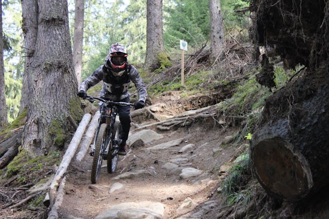
3 routes · Mountain Biking · Hiking
7 routes · Hiking