3.9 km away
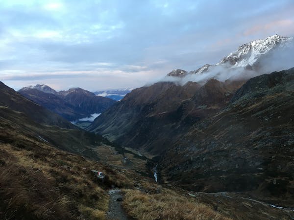
Morgenkogel
A long hiking loop over the Morgenkogel ridge with a stunning view
Severe Hiking
- Distance
- 13 km
- Ascent
- 1.4 km
- Descent
- 1.4 km
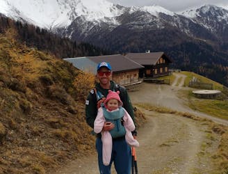
With its 2.169 m over sea level, the Pfoner Ochsenalm is one of the highest located serviced mountain huts of the Wipptal and offers a rustic place to enjoy the alpine flair.
Hiking Easy

For a relaxed arrival at the starting point, take the train to “Matrei am Brenner” and change there for the bus to “Pfons”. Alternatively, cars can be parked at several places in the village of Pfons.
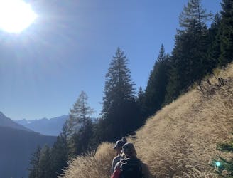
The route uphills never becomes very steep or challenging, as you simply follow the gravel road. At times you have the opportunity to cut a corner, but you the trail will always bringe you back to the road.
Therefor this hike is ideal if you want to spend time with your friends and enjoy the wonderful forest to the fullest at the same time. The driveway leads you uphill through the so called Kraftwald forest whose name already guarantees a strengthening experience.
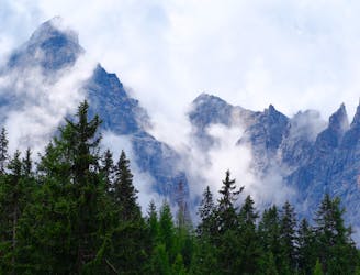
On the Ochsenalm marvelous mountain pastures are waiting as you left the tree line behind. Enjoy the extensive landscape with its far-reaching panorama-view including the Serles (2717m), the Habicht (3277m) and the prominent peak of the Pflerscher Tribulaun (3097m) in the south-west.
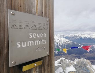
If you have some energy left the Pfoner Kreuzjöchl offers the opportunity for a rewarding peak just about an hour away.
Take a break on the rustic hut that offers delicious meals and fresh drinks before descending on the same way downhill.
Easy
Walking along a well-kept trail that’s mostly flat. No obstacles are present.

The path is on completely flat land and potential injury is limited to falling over.

Away from help but easily accessed.
3.9 km away
A long hiking loop over the Morgenkogel ridge with a stunning view
Severe Hiking
4.5 km away
The so-called “Altar of Tirol”, Serles is the most famous peak in the region, and rules the view above Innsbruck.
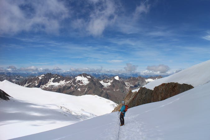
Severe Hiking
5.1 km away
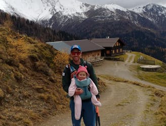
An ideal trip for families to a truly unique mountain restaurant.
Easy Hiking
6.9 km away
An easy hike for those who want to enjoy the nature away from the crowds.
Difficult Hiking
7 km away
For fans of incredible views and good food, this is a must-do!
Moderate Hiking
7.5 km away

A must-do for all wildflower lovers as the Blaser is known as the most beautiful flower-mountain in Tirol.
Moderate Hiking
7.6 km away
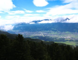
A stunning traverse high above the Inn valley, this is one of the most famous hikes in the Tirol.
Moderate Hiking
9.2 km away

A classic hiking tour with a beautiful view of the impressive Serles northface.
Moderate Hiking

9 routes · Alpine Climbing · Hiking
9 routes · Alpine Climbing · Hiking

5 routes · Hiking

9 routes · Hiking
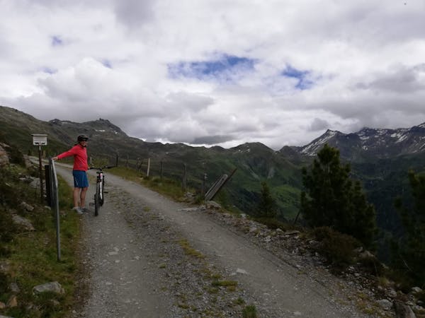
3 routes · Mountain Biking · Hiking

25 routes · Hiking
7 routes · Hiking