3.9 km away
The Legendary Zirbenweg
A stunning traverse high above the Inn valley, this is one of the most famous hikes in the Tirol.
Moderate Hiking
- Distance
- 7.5 km
- Ascent
- 257 m
- Descent
- 162 m
A long hiking loop over the Morgenkogel ridge with a stunning view
Hiking Severe

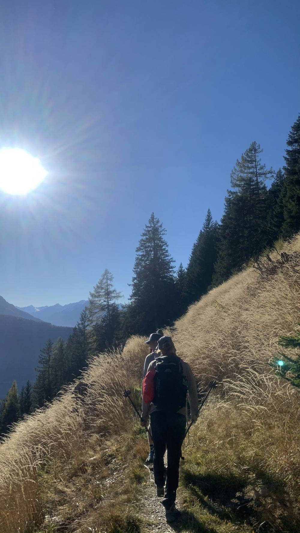
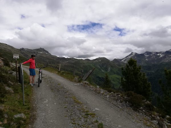
The hike starts at the beginning of the small and rather unfrequented Viggar Valley.
A small parking lot offers the possibility to go there by car, but the 4141 bus from Innsbruck main station to the bus stop Ellbögen Mühltal will also get you there.
The hike starts next to the barn in the direction of the Profegl hut above the Mühltal.
Keep on following the smaller hiking trail to this hut while crossing the gravel road a few times.
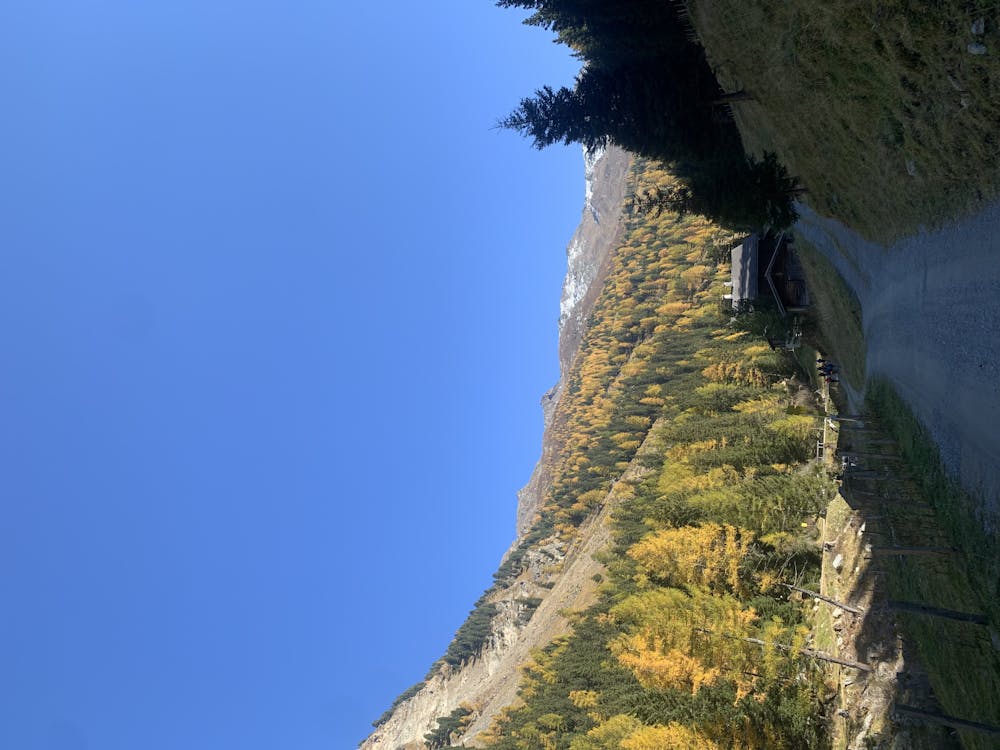
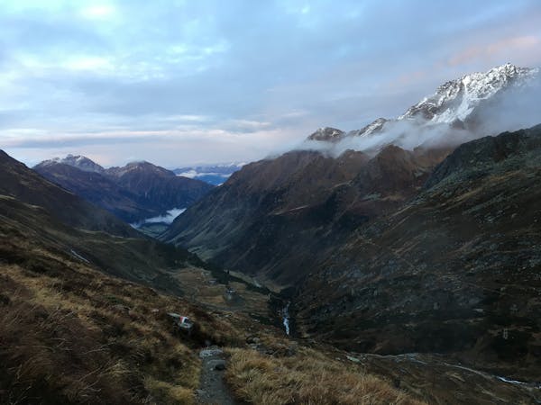
When the Profegl hut is reached, the trail gets steeper and starts to aim for the Morgenkogel peak.
As you climb the landscape changes and after reaching the tree line the view opens further with every step.
Arriving at the ridge, the trail turns left (east) and offers the opportunity for a short break, before you tackle the last meters to the top.
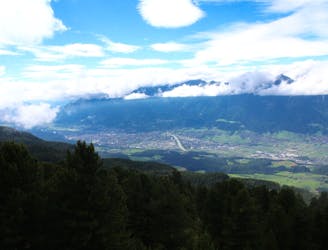
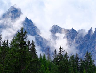
The Morgenkogel peak offers a nice view over surrounding mountains. With a closer look you can spot a few skiing resorts you may know from the winter season.
Between the Patscherkofel peak and the Viggarspitze the famous - but probably crowded - Zirbenweg trail appears on the other side of the valley.
This routes descends via the west ridge. The trail follows the easy terrain of the ridge over the Morgenköpfl until the Niederstraßer forest is reached.
Back in the shade of the forest, the trail follow the straight line down, crossing the gravel road two times times. At the third crossing of the gravel road, the route turns right (north) and descents in direction of the Patscherkofel.
The route uses the second opportunity to turn left (south) and follows this trail until the parking is lot is reached.
Severe
Hiking challenging trails where simple scrambling, with the occasional use of the hands, is a distinct possibility. The trails are often filled with all manner of obstacles both small and large, and the hills are very steep. Obstacles and challenges are often unexpected and can be unpredictable.

The trail contains some obstacles such as outcroppings and rock which could cause injury.

Little chance of being seen or helped in case of an accident.
3.9 km away
A stunning traverse high above the Inn valley, this is one of the most famous hikes in the Tirol.
Moderate Hiking
3.9 km away

With its 2.169 m over sea level, the Pfoner Ochsenalm is one of the highest located serviced mountain huts of the Wipptal and offers a rustic place to enjoy the alpine flair.
Easy Hiking
4.8 km away
An ideal trip for families to a truly unique mountain restaurant.
Easy Hiking
5.3 km away

A classic hiking tour with a beautiful view of the impressive Serles northface.
Moderate Hiking
6 km away
The so-called “Altar of Tirol”, Serles is the most famous peak in the region, and rules the view above Innsbruck.
Severe Hiking
9 km away
For fans of incredible views and good food, this is a must-do!
Moderate Hiking
9.2 km away
An easy hike for those who want to enjoy the nature away from the crowds.
Difficult Hiking

9 routes · Alpine Climbing · Hiking
9 routes · Alpine Climbing · Hiking

5 routes · Hiking

9 routes · Hiking
3 routes · Mountain Biking · Hiking

25 routes · Hiking
7 routes · Hiking