595 m away
Naviser Kreuzjöchl circuit
An easy hike for those who want to enjoy the nature away from the crowds.
Difficult Hiking
- Distance
- 13 km
- Ascent
- 1.2 km
- Descent
- 1.2 km
For fans of incredible views and good food, this is a must-do!
Hiking Moderate

The little village of Navis is best known as a ski tourers paradise and is home to some fantastic non-glaciated mountains. It's also the base for this excellent circular hike which takes you between a series of quaint Tirolian mountain huts. Provided you do this hike during the main summer season you will not need to bring any supplies given that you seemingly pass a hut every few minutes!
Park at the eastern end of Navis village and begin the by climbing up to the south-facing Peer Alm. Grab your first drink of the day and enjoy the panorama across the mountains on the southern side of the Navis valley. Suitably refershed, traverse on a beautiful path around to the Tischleralm and Vögeleralm.
Turn due east and begin the gradual climb up to the Klammalm - the most easterly point on this hike. The final section of the climb is quite steep and goes up a relatively small path but if conditions are wet underfoot you can avoid this section and take the slightly longer but easier option of following the jeep track to the Klammalm.
The Alm itself is very welcoming and because it is up a deep, empty valley it feels surprisingly remote despite its proximity to civilisation. From the Klammalm make a lovely long traverse to the west through a series of forests and across a couple of bowls to reach the next beverage stop on your tour - the Poltenalm, from where it is only 10 minutes to yet another hut, the Stöcklalm.
From the Stöcklalm follow a jeep track down past the Naviser Hütte, which is buried deep in amongst some huge trees, all the way to the valley floor.
Finish the day by walking north up the valley floor, crossing a bridge and then swinging around south to make your way back to the parking area. A post hike meal will not be required if you stopped at every hut en route!
Moderate
Hiking along trails with some uneven terrain and small hills. Small rocks and roots may be present.

The path is on completely flat land and potential injury is limited to falling over.

Away from help but easily accessed.
595 m away
An easy hike for those who want to enjoy the nature away from the crowds.
Difficult Hiking
7 km away

With its 2.169 m over sea level, the Pfoner Ochsenalm is one of the highest located serviced mountain huts of the Wipptal and offers a rustic place to enjoy the alpine flair.
Easy Hiking
9 km away
A long hiking loop over the Morgenkogel ridge with a stunning view
Severe Hiking
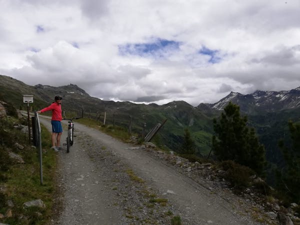
3 routes · Mountain Biking · Hiking

25 routes · Hiking