2.9 km away
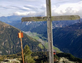
Elferkogel
A wonderful, mid-length, circular hike with impressive scenery through the dramatic peaks of the Stubai Valley.
Difficult Hiking
- Distance
- 8.1 km
- Ascent
- 738 m
- Descent
- 738 m
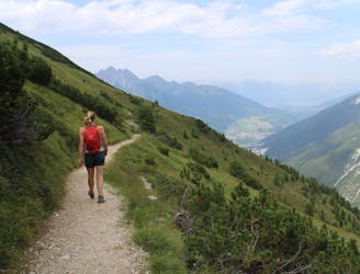
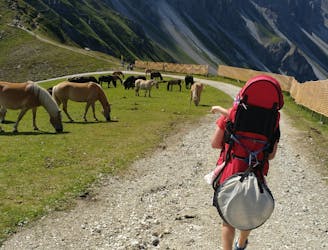
One of the smaller hiking tours in Stubaital to the beautiful Kaserstattalm.
Hiking Difficult

Park your car at the local football field or take the bus (nr. 590) from Innsbruck to the bus stop Bichl.
From there you cross the river Ruetz and follow the road for a few turns uphill.
As soon as you reach a smaller hiking trail on the left, follow it north-westwards through a smaller forest until you reach the Neder-Pfurtschell settlement.
The route then continues left (south-westwards) of the building onto a smaller gravel road until you get the opportunity to follow a smaller trail on the right (west).
Keep on following this lightly steeper trail through a lovely forest until it crosses a gravel road for the second time.
The trail then follows this road through some mellow terrain, until the Kaserstatter hut can be spotted.
The terrain of the Kaserstatter hut and surrounding meadows became political in the last years: The gondola operators of the stubai valley wanted to expand the resort through this terrain. But their plans were canceled in late 2021 after resistance from residents.
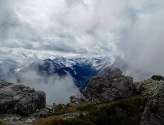
After a traditional Tyrolean meal you can take the same way back down to the car as uphill or, if you are motivated for some more hiking, you can keep on hiking uphill to the peak of the High (Hoher) Burgstall. Led by the yellow signs you will reach the High (Hoher) Burgstall peak after around 700 vertical metres from the Kaserstatter hut.
Difficult
Hiking trails where obstacles such as rocks or roots are prevalent. Some obstacles can require care to step over or around. At times, the trail can be worn and eroded. The grade of the trail is generally quite steep, and can often lead to strenuous hiking.

The path is on completely flat land and potential injury is limited to falling over.

Away from help but easily accessed.
2.9 km away
A wonderful, mid-length, circular hike with impressive scenery through the dramatic peaks of the Stubai Valley.
Difficult Hiking
3 km away
A beautiful summit which is famous for being the first ever Alpine peak climbed by Sir Edmumd Hillary!
Difficult Hiking
5.6 km away
An ideal trip for families to a truly unique mountain restaurant.
Easy Hiking
5.7 km away
The so-called “Altar of Tirol”, Serles is the most famous peak in the region, and rules the view above Innsbruck.
Severe Hiking
6.2 km away
Summit a peak in the heart of the Stubaital and visit one of the area's best mountain huts
Severe Hiking
7.6 km away

This route is made for everyone who loves easy ridge hiking.
Difficult Hiking
7.6 km away
A brilliant short hike via the Hochtennbodensteig which takes you through some of the finest rock architecture in Austria in return for minimal physical effort!
Difficult Hiking
7.6 km away
An atmospheric and wild-feeling hike through Tirol's finest mountains.
Difficult Hiking
7.6 km away

A must-do for all wildflower lovers as the Blaser is known as the most beautiful flower-mountain in Tirol.
Moderate Hiking
7.8 km away
A short but densely packed journey through some fabulous mountain scenery.
Moderate Hiking

9 routes · Alpine Climbing · Hiking
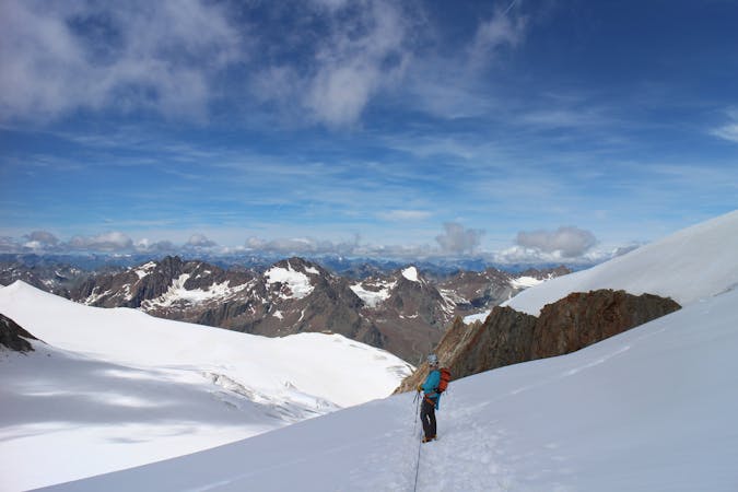
9 routes · Alpine Climbing · Hiking
4 routes · Hiking

5 routes · Hiking

9 routes · Hiking

25 routes · Hiking
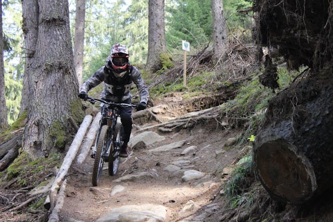
3 routes · Mountain Biking · Hiking
7 routes · Hiking