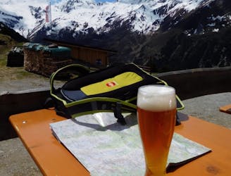
2.6 km away
Juifenalm
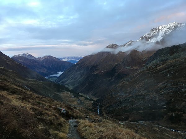
A family hike with scenic views into the higher mountains.
Easy Hiking
- Distance
- 6.3 km
- Ascent
- 595 m
- Descent
- 591 m
Sunny hike up to a picturesque summit passing a fabulous mountain lake.
Hiking Moderate
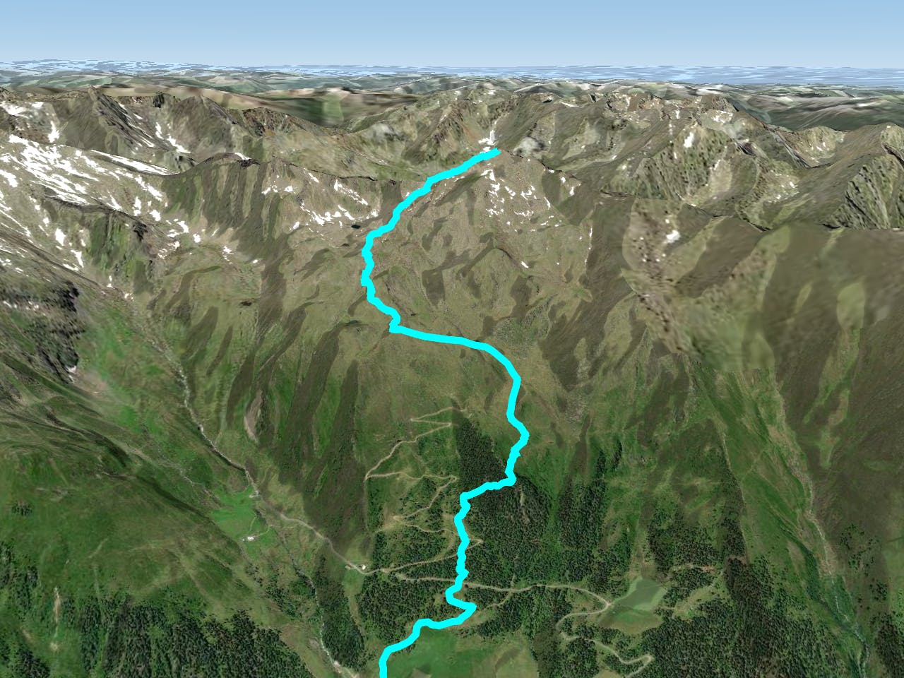
The starting point at the mountain guest house Praxmar can be reached with the Postbus Praxmar from Innsbruck during the summer months (mid-July until mid-September) if you don't want to pay for a parking ticket or want to take some climate action. Don’t worry, cars also can be parked here.
From the last bus stop “Praxmarer Wendestelle” at the parking lot you head westwards and continue strait at the first crossing on the trail no. 144 that leads you over alpine meadows and through a lovely stone pine forest.
Your path will be crossed a few times by the forest road but the trails continues up to the Zirmkogel (2037m), a little peak located right at the treelike.
A grassy ridge then brings you up to the Kogel hut, after which you’ll have to follow the red sign directing to the “Bergersee” located uphill of the hut. This beautiful mountain lake offers an ideal resting place and a refreshing dip on hot summer days, before continuing the hike. At this point head shortly to the left (southwards) until the trail encounters the other trail coming from “Schönbichl”.
From now on the route proceeds constantly to the west over stepped terrains up to the Satteljoch where you walk on the wide south ridge.
At the avalanche chart you slightly turn to the right (north) and reach the summit in a few minutes where a unique all-round view is waiting for you. Looking back at the gentle terrain of the Satteljoch and the meadows at the Zirmkogel it becomes obvious why the Lampsenspitze is such a famous skitouring mountain in the winter months.
The descend on the same route enables a stop at the Praxmarer guest house and provides a nice end of a day outdoors!
Moderate
Hiking along trails with some uneven terrain and small hills. Small rocks and roots may be present.

The trail contains some obstacles such as outcroppings and rock which could cause injury.
Away from help but easily accessed.
2.6 km away
A family hike with scenic views into the higher mountains.
Easy Hiking
7.5 km away

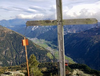
A unfrequented hike made for everyone who wants to get started with easy ridge hiking.
Difficult Hiking
7.6 km away

A classic there-and-back hike to a dramatic peak
Severe Hiking
7.6 km away

An adventures route with easy alpine climbing through a picturesque part of the stubai alps.
Severe Hiking
8.5 km away

This route is made for everyone who loves easy ridge hiking.
Difficult Hiking
9.6 km away
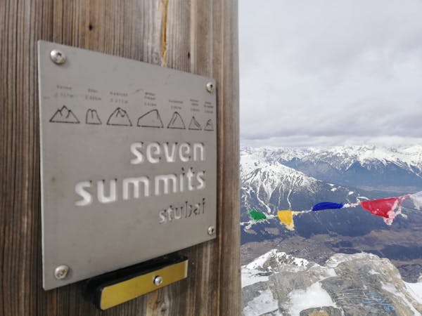
Summit a peak in the heart of the Stubaital and visit one of the area's best mountain huts
Severe Hiking
9 routes · Alpine Climbing · Hiking

25 routes · Hiking
7 routes · Hiking