2.6 km away
Lambsenspitze
Sunny hike up to a picturesque summit passing a fabulous mountain lake.
Moderate Hiking
- Distance
- 9.3 km
- Ascent
- 1.2 km
- Descent
- 1.2 km
A family hike with scenic views into the higher mountains.
Hiking Easy

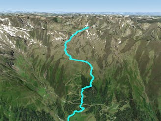
Two trails lead their way up to the Juifenaualm hut, both starting at the parking lot at Juifenau in the Lüsens valley.
You can decide between a gravel road, which gently wiggles its way up to the hut, and a summer path with a more intense nature experience.
This route follows the narrower trail, which branches off the gravel road shortly after the gate. Cross the little wooden bridge and follow the yellow signs and the marked trail up to the Juifenaualm hut.
Leading you through the woods in easy to steep terrain, the trail crosses the gravel road for a few times before reaching a wooden hunting lodge.
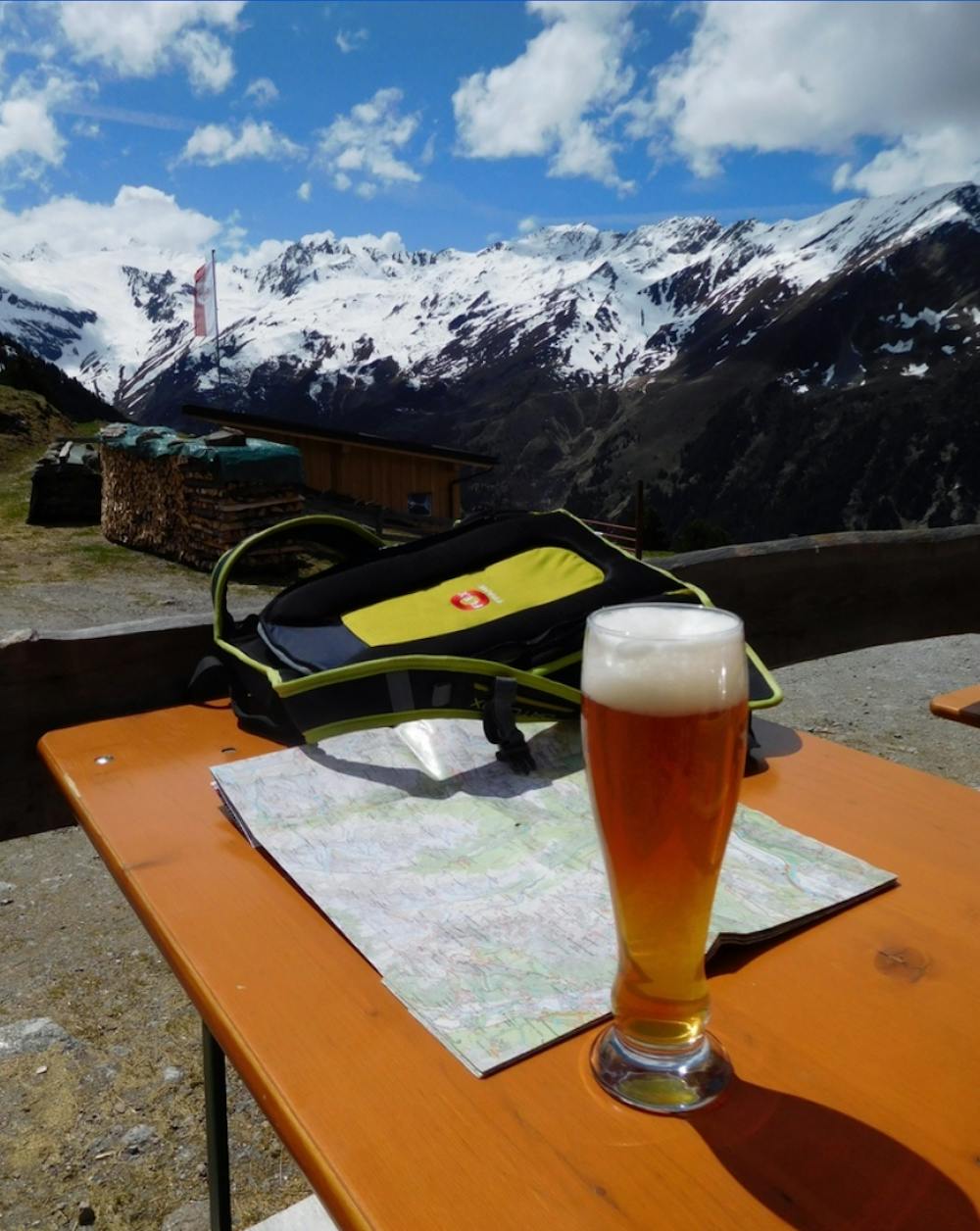
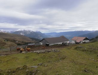
Turn left (north) to continue onto the trail that takes you to the Juifenaualm hut, which sits at 2022m, just a little above the tree line.
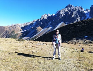
Take a break here and enjoy the pleasant alpine atmosphere of flowering grasslands underneath the rougher ridge between Fotscher Windegg and Hühnereggen and the glacier of the inner Lüsens valley.
The descent offers the two possible routes, with the road being the knee-friendly possibility.
As this tour can be done all year-round, the descent could also be done with sleds down the gravel road in the winter months.
Easy
Walking along a well-kept trail that’s mostly flat. No obstacles are present.

The path is on completely flat land and potential injury is limited to falling over.

Away from help but easily accessed.
2.6 km away
Sunny hike up to a picturesque summit passing a fabulous mountain lake.
Moderate Hiking
6.1 km away

A unfrequented hike made for everyone who wants to get started with easy ridge hiking.
Difficult Hiking
9.2 km away
A short but densely packed journey through some fabulous mountain scenery.
Moderate Hiking
9.3 km away
An incredibly wild-feeling trip through some wonderful scenery.
Difficult Hiking
9.3 km away

This route is made for everyone who loves easy ridge hiking.
Difficult Hiking
9.3 km away

A classic there-and-back hike to a dramatic peak
Severe Hiking
9.3 km away

An adventures route with easy alpine climbing through a picturesque part of the stubai alps.
Severe Hiking
10 km away

An easy hike with a picturesque lake and mountain view.
Moderate Hiking
9 routes · Alpine Climbing · Hiking
4 routes · Hiking

5 routes · Hiking

9 routes · Hiking

25 routes · Hiking
7 routes · Hiking