2.9 km away
Salfeins- Schönangerl See

An easy hike with a picturesque lake and mountain view.
Moderate Hiking
- Distance
- 7.9 km
- Ascent
- 948 m
- Descent
- 949 m
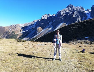
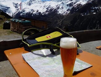
An incredibly wild-feeling trip through some wonderful scenery.
Hiking Difficult

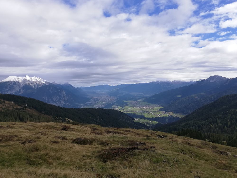
The fact that this trip is not more commonly done is a mystery because it's peaceful, wild and rewards hikers with fabulous views across Innsbruck and the Inn valley.
The hike starts at the tiny village of Stiglreith which can be reached by car or (if you're really keen) bike. Alternatively, if you do this hike in the height of summer, you can also reach Stiglreith easily from the top of the Rangger Köpfl cable car which begins in the village of Dickicht.
However you reach Stiglreith, leave it northwards on a road that leads you to Gfas - a small collection of farm buildings. Leave the road at Gfas and get onto a small path which takes you into the trees. Follow the path as it traverses and then begins to climb steeply up through a forest.
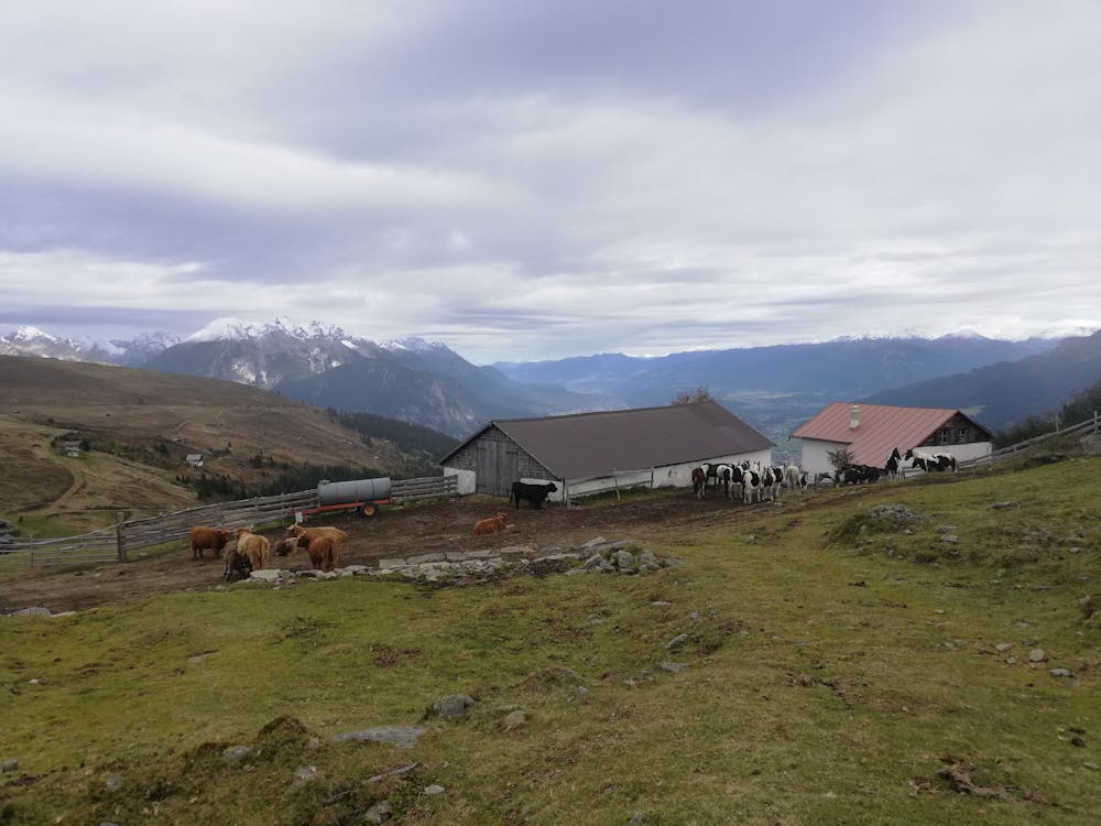
The path emerges out into a field with some farm buildings and this is the first point from where Innsbruck and the eastern part of the Inn Valley are visible. Continue up past the field, back into the woods and then out again into the huge rolling plateau that lies north of the Roßkogel peak. Climb up onto the plateau to reach a farm (the Krimpenbachalm) perched in a spectacular spot with 360 degree views.
Continue north to a col which enjoys a great view of the Enterbach valley to the west, and the peaks of southern Germany which are visible to the north. Swing back south from the col onto a small path and follow this as it takes you back past some tiny alpine chalets to the jeep track which travels the length of the Rangger Köpfl ski area. Follow this jeep track back down to Stiglreith.
Difficult
Hiking trails where obstacles such as rocks or roots are prevalent. Some obstacles can require care to step over or around. At times, the trail can be worn and eroded. The grade of the trail is generally quite steep, and can often lead to strenuous hiking.

The trail contains some obstacles such as outcroppings and rock which could cause injury.

Little chance of being seen or helped in case of an accident.
2.9 km away
An easy hike with a picturesque lake and mountain view.
Moderate Hiking
4.9 km away
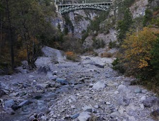
An varied hike through a gorge to a traditional hut.
Moderate Hiking
5.4 km away
A nice loop to a hut at the bottom of the Solstein peaks.
Difficult Hiking
5.9 km away
A lovely - but at times steep - trip through a deep, high gorge.
Difficult Hiking
7.6 km away
A short but densely packed journey through some fabulous mountain scenery.
Moderate Hiking
7.7 km away
An atmospheric and wild-feeling hike through Tirol's finest mountains.
Difficult Hiking
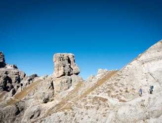
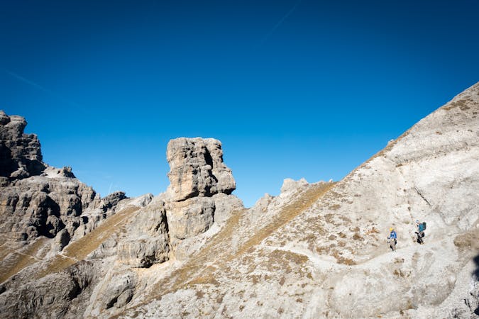
7.7 km away
A brilliant short hike via the Hochtennbodensteig which takes you through some of the finest rock architecture in Austria in return for minimal physical effort!
Difficult Hiking
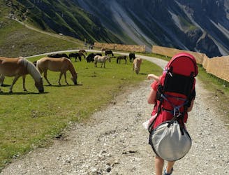
9.3 km away
A family hike with scenic views into the higher mountains.
Easy Hiking
4 routes · Hiking

5 routes · Hiking

9 routes · Hiking

25 routes · Hiking