2.3 km away
Neue Magdeburger Hütte from Hochzirl
A nice loop to a hut at the bottom of the Solstein peaks.
Difficult Hiking
- Distance
- 12 km
- Ascent
- 906 m
- Descent
- 906 m
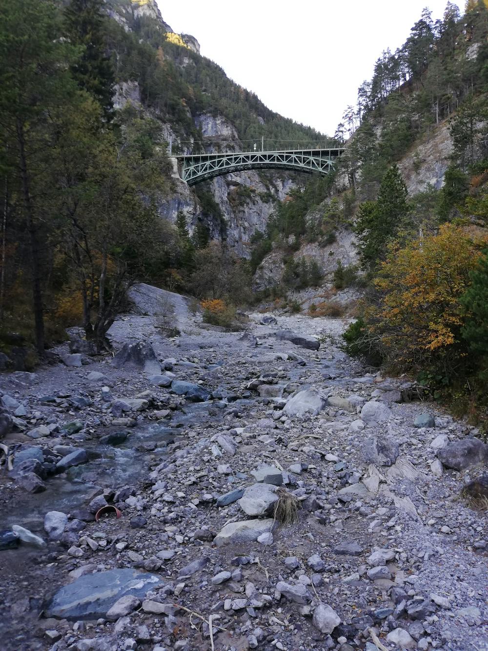
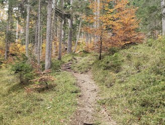
A lovely - but at times steep - trip through a deep, high gorge.
Hiking Difficult

This is one of those hikes that's perfect for when you have murky weather and just want a few hours out in the woods; it's not a big hike by any means and it's easily reached by public transport. The hiking is quite strenuous at times as you drop down into the gorge that this route traverses but other than a couple of brief sections, it's a pleasant and easy stroll.
Catch the train to Leithen (or walk there from the nearby popular alpine village of Seefeld) and cross under the railway tracks to reach a path which goes alongside the tracks before heading north into the Schlossbachklamm gorge. Keep following a good path into the gorge and the path soon begins to descend - increasingly steeply - to reach a wooden bridge. Cross the bridge and take some time to look up to the spectacular railway bridge to the north. The bridge is in a shaded, cold spot and it's atmospheric and has a really unusual ambience.
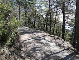
At the far side of the bridge make a steep climb up zig zags to a more gently ascending section of path, reminiscent of the path you initially entered the gorge on. Follow this path as it takes you south, directly towards the Inn valley.
Keep on the path and it eventually leads you to a road. Walk down the road to the tiny train station at Hochzirl, from where there are regular trains to Innsbruck and Seefeld.
The fact that this route starts and finishes at train stations makes logistics extremely simple and also means that you don't need a car to complete it. All in all, it's an easy, stress-free trip through a gorgeous part of the Austrian Tirol.
Difficult
Hiking trails where obstacles such as rocks or roots are prevalent. Some obstacles can require care to step over or around. At times, the trail can be worn and eroded. The grade of the trail is generally quite steep, and can often lead to strenuous hiking.

Some trail sections have exposed ledges or steep ascents/descents where falling could cause serious injury.

Away from help but easily accessed.
2.3 km away
A nice loop to a hut at the bottom of the Solstein peaks.
Difficult Hiking
2.8 km away
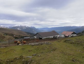
An varied hike through a gorge to a traditional hut.
Moderate Hiking
4.2 km away
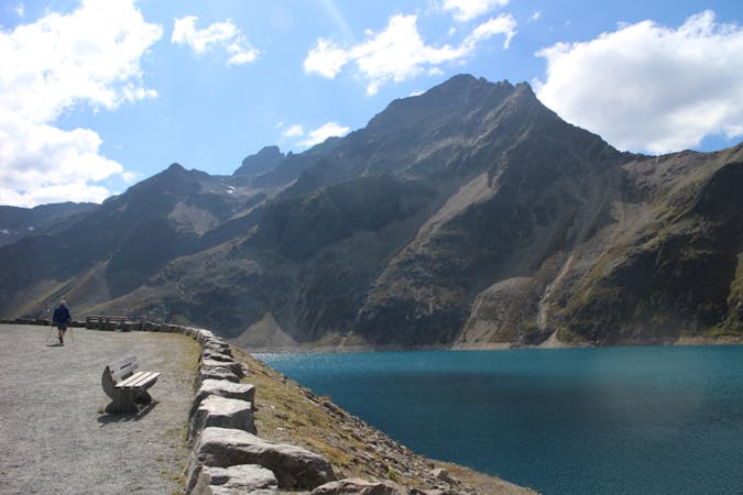
A high and wild day through some epic mountain scenery.
Severe Hiking
5 km away
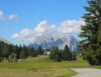
Enjoy huge views across some of Austria and Germany's wildest mountains
Moderate Hiking
5.2 km away
A classic mellow hike through peaceful forests and between a series of lakes.
Moderate Hiking
5.9 km away
An incredibly wild-feeling trip through some wonderful scenery.
Difficult Hiking
7.8 km away

An easy hike with a picturesque lake and mountain view.
Moderate Hiking
3 routes · Hiking

7 routes · Alpine Climbing · Mountain Biking · Hiking · Trail Running

8 routes · Hiking

9 routes · Hiking

25 routes · Hiking