Mutterbergersee
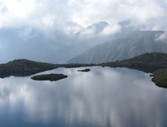
Hiking round to one of the most beautiful mountain lakes in the Austrian alps.
Difficult Hiking
- Distance
- 9.6 km
- Ascent
- 835 m
- Descent
- 836 m

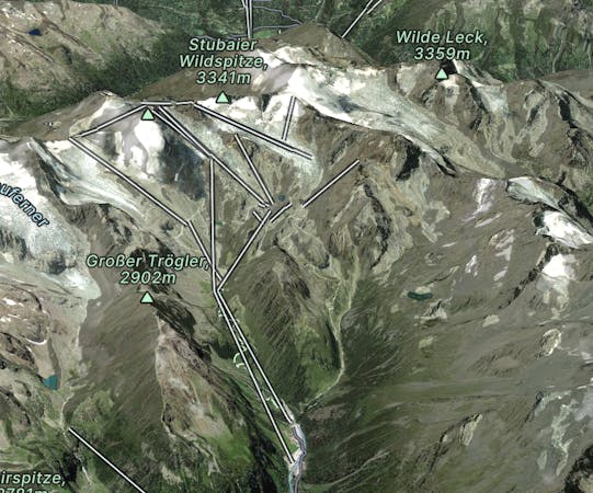
Go hiking in Stubaier Gletscher with curated guides of the best hikes across the region. With over 29 3D trail maps in FATMAP, you can easily discover and navigate the best trails in Stubaier Gletscher.
No matter what your next adventure has in store, you can find a guide on FATMAP to help you plan your next epic trip.
Get a top hiking trail recommendation in Stubaier Gletscher from one of our 6 guidebooks, or get inspired by the 29 local adventures uploaded by the FATMAP community. Start exploring now!
Hiking round to one of the most beautiful mountain lakes in the Austrian alps.
Difficult Hiking

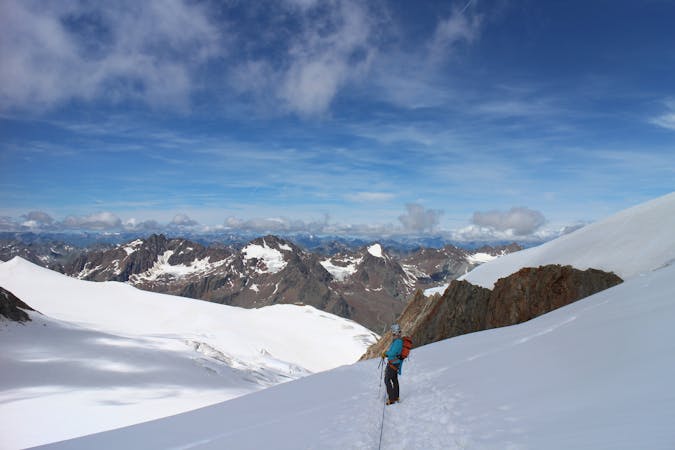
4 day route on the north site of the Stubaier Höhenweg
Moderate Hiking
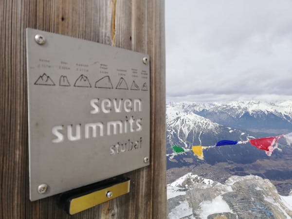
9 routes · Alpine Climbing · Hiking
9 routes · Alpine Climbing · Hiking