2.3 km away
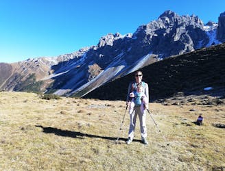
Hoher Burgstall
A beautiful summit which is famous for being the first ever Alpine peak climbed by Sir Edmumd Hillary!
Difficult Hiking
- Distance
- 7.1 km
- Ascent
- 592 m
- Descent
- 592 m
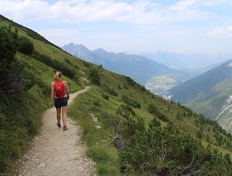
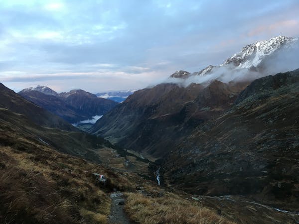
4 day route on the north site of the Stubaier Höhenweg
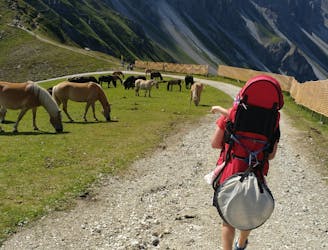
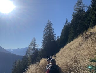
Hiking Moderate

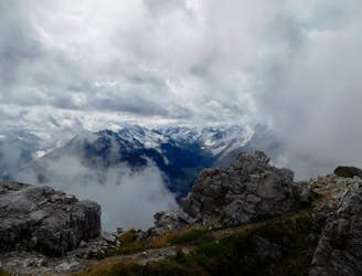
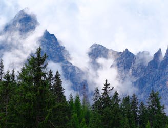
This is a popular hiking route which is generally considered to be moderate. It's not remote, it features medium exposure and is typically done between June and October. From a low point of 1.4 km to the maximum altitude of 2.9 km, the route covers 49 km, 4400 vertical metres of ascent and 3462 vertical metres of descent.
4 day trip on the north side of the Stubaier Höhenweg
Moderate
Hiking along trails with some uneven terrain and small hills. Small rocks and roots may be present.

The trail contains some obstacles such as outcroppings and rock which could cause injury.

Close to help in case of emergency.
2.3 km away
A beautiful summit which is famous for being the first ever Alpine peak climbed by Sir Edmumd Hillary!
Difficult Hiking
3.6 km away

One of the smaller hiking tours in Stubaital to the beautiful Kaserstattalm.
Difficult Hiking
4.8 km away
An ideal trip for families to a truly unique mountain restaurant.
Easy Hiking
4.9 km away
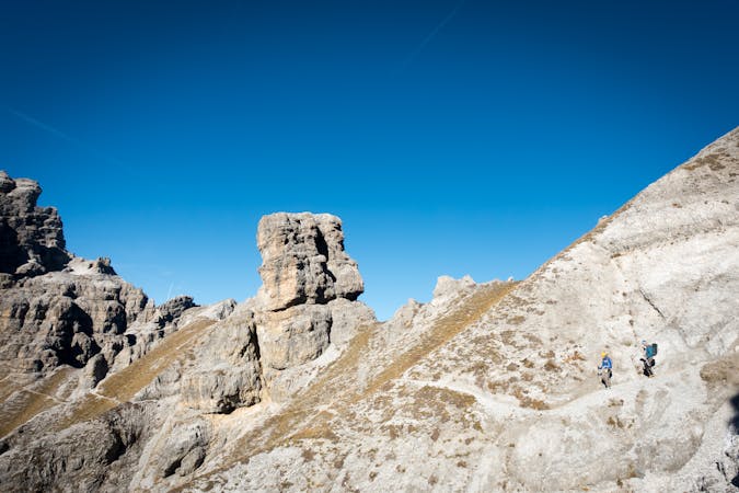
A brilliant short hike via the Hochtennbodensteig which takes you through some of the finest rock architecture in Austria in return for minimal physical effort!
Difficult Hiking
4.9 km away
An atmospheric and wild-feeling hike through Tirol's finest mountains.
Difficult Hiking
5.6 km away
A short but densely packed journey through some fabulous mountain scenery.
Moderate Hiking
6.3 km away
The so-called “Altar of Tirol”, Serles is the most famous peak in the region, and rules the view above Innsbruck.
Severe Hiking
6.5 km away
A wonderful, mid-length, circular hike with impressive scenery through the dramatic peaks of the Stubai Valley.
Difficult Hiking
7.7 km away
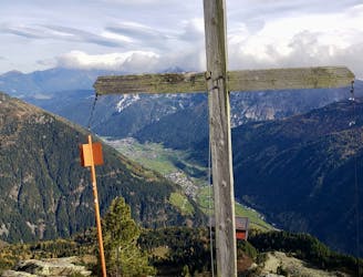
Summit a peak in the heart of the Stubaital and visit one of the area's best mountain huts
Severe Hiking
8.8 km away
A long hiking loop over the Morgenkogel ridge with a stunning view
Severe Hiking

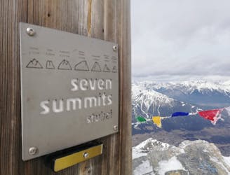
9 routes · Alpine Climbing · Hiking
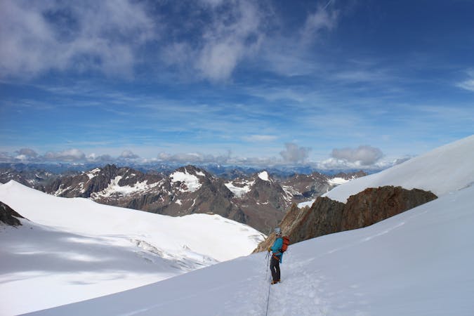
9 routes · Alpine Climbing · Hiking
4 routes · Hiking

5 routes · Hiking

9 routes · Hiking

25 routes · Hiking
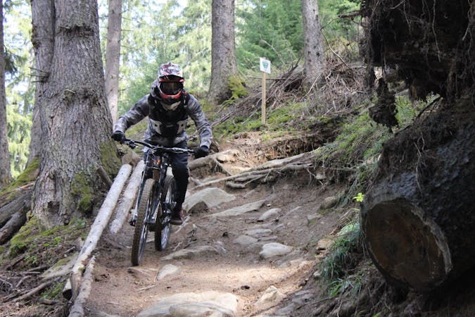
3 routes · Mountain Biking · Hiking
7 routes · Hiking