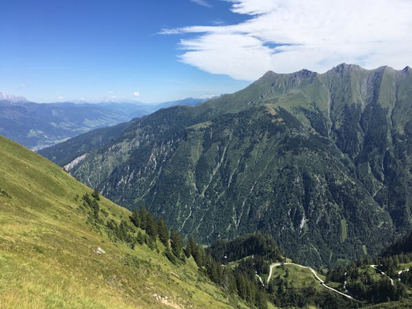
Pinzguer Spaziergang Hike (719)
Perhaps the most beautiful high trail in the Eastern Alps.
Difficult Hiking
- Distance
- 18 km
- Ascent
- 1.2 km
- Descent
- 1 km
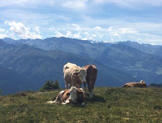
Saalbach Hinterglemm is embroiled in a never ending dispute over being Austria's largest ski resort. Regardless of the technicalities Saalbach neighbours the famous freeriding spot, Fieberbrunn, and has phenomenal touring and freeriding lines.
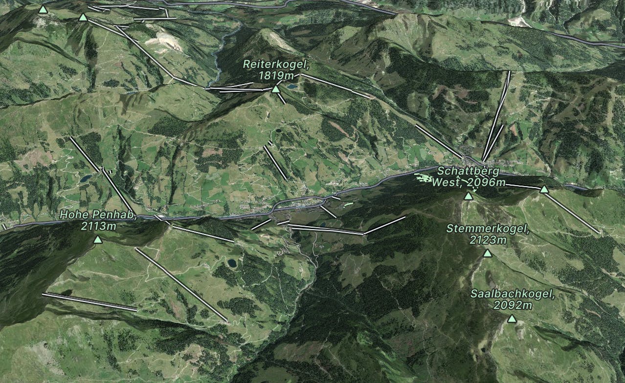
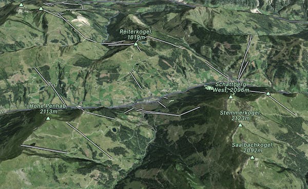
Go hiking in Saalbach Hinterglemm and Saalfelden Leogang with curated guides of the best hikes across the region. With over 57 3D trail maps in FATMAP, you can easily discover and navigate the best trails in Saalbach Hinterglemm and Saalfelden Leogang.
No matter what your next adventure has in store, you can find a guide on FATMAP to help you plan your next epic trip.
Get a top hiking trail recommendation in Saalbach Hinterglemm and Saalfelden Leogang from one of our 6 guidebooks, or get inspired by the 57 local adventures uploaded by the FATMAP community. Start exploring now!
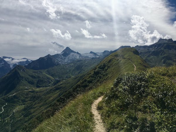
Perhaps the most beautiful high trail in the Eastern Alps.
Difficult Hiking

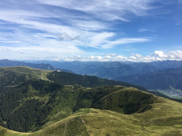
Very easy climb to the Reichenkendlkopf and a promising walk along the ridge
Moderate Hiking

Easy family walk with views of Saalbach
Easy Hiking

Take the Zwölferkogelbahn cable car up to the middle station. A section of route 8 leads to a beautifully laid out storage pond. From there, head downhill via forest roads to the Ellmaualm, the Hintermaisalm and the Grabenhütte, as well as the Schwarzacherweg back to Hinterglemm
Moderate Hiking

Very easy climb to the Reichenkendlkopf and a promising walk along the ridge
Difficult Hiking

After an initial strenuous ascent, the cosy hike follows
Difficult Hiking

Wonderful panoramic hike
Easy Hiking

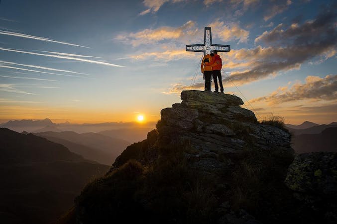
Lone mountain peak with a magnificent view
Moderate Hiking
10 routes · Hiking
5 routes · Hiking
3 routes · Hiking
8 routes · Hiking