8.8 km away
Pinzguer Spaziergang Hike (719)
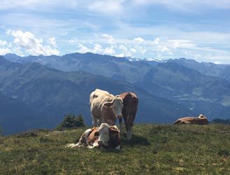
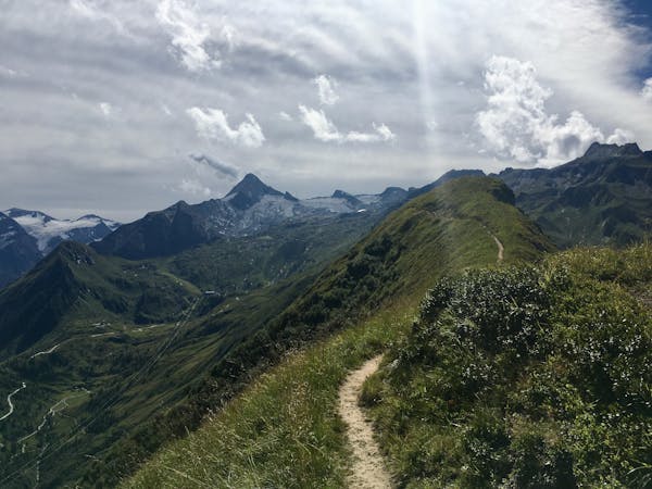
Perhaps the most beautiful high trail in the Eastern Alps.
Difficult Hiking
- Distance
- 18 km
- Ascent
- 1.2 km
- Descent
- 1 km
Wonderful panoramic hike
Hiking Easy

This is a popular hiking route which is generally considered to be easy. It's an unknown remoteness, it features unknown exposure and is typically done in an unknown time of year. From a low point of 2 km to the maximum altitude of 2.1 km, the route covers 2.2 km, 241 vertical metres of ascent and 152 vertical metres of descent.
From the Peak station Schattberg Ostgipfel via Marxtenscharte, Seetörl, Klinglertörl, Klammscharte and Rohrertörl to Schmittenhöhe. Downhill with the Schmittenhöhebahn to Zell am See and with the Postbus back to Saalbach.
Easy
Walking along a well-kept trail that’s mostly flat. No obstacles are present.
8.8 km away
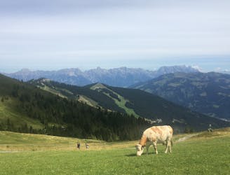
Perhaps the most beautiful high trail in the Eastern Alps.
Difficult Hiking
9.3 km away
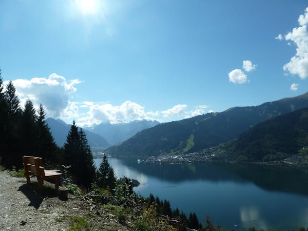
A classic descent of the Schmittenhöhe, also known as the "4 Lakes Trail."
Moderate Hiking
9.3 km away
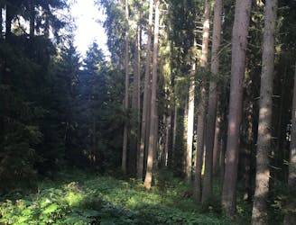
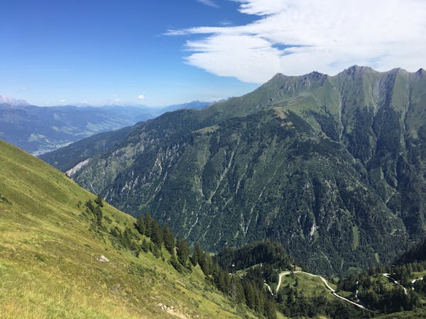
Shady woodlands, high alpine views and three traditional Austrian mountain huts.
Moderate Hiking
10 routes · Hiking
3 routes · Hiking
5 routes · Hiking
3 routes · Hiking
8 routes · Hiking