612 m away
Schmittenhöhe 3 Hut Loop
Shady woodlands, high alpine views and three traditional Austrian mountain huts.
Moderate Hiking
- Distance
- 4.7 km
- Ascent
- 248 m
- Descent
- 248 m
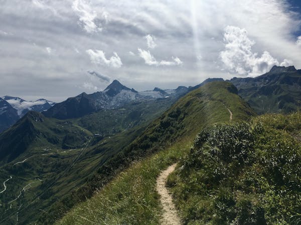
A classic descent of the Schmittenhöhe, also known as the "4 Lakes Trail."
Hiking Moderate

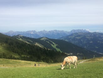
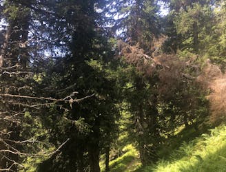
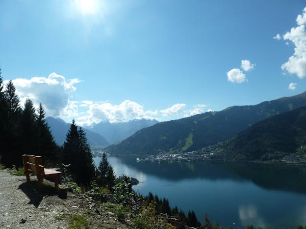
This trail is a lovely descent of the Schmittenhöhe from the summit to Zell am See. Most of the route is the Schmittenhöhe classic "4 Lakes Trail," with part of the Ebenbergalm path added onto the end, taking you all the way back to Zell am See. The trail is characterized by shady woodland, lakes, and mountain huts.
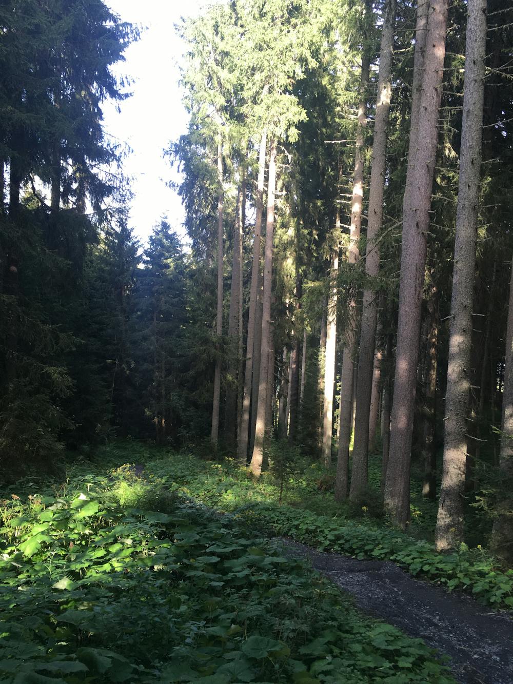
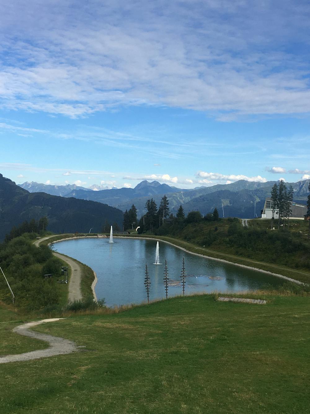
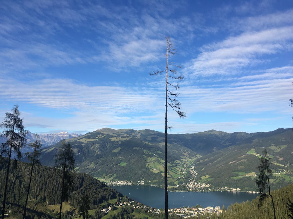
From the Schmittenhöhe summit, follow signs for trail 50 to the Breteckalm hut. Just after the hut, you with come to your first in the series of four lakes. Before you reach the second lake, you will pass the Glocknerhaus hut. At the third lake, there is a children’s play area and a few deckchairs well-placed at spectacular lookout spots. Continue on down to Areitalm hut where you then change onto path 51 down to the bottom station of the AreitXpress. From here, you follow path 52 through the forest to Ebenbergalm, your final hut, before jumping on the 57 to Zell am See.
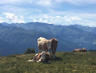
This route is good for families because it is all downhill, it has plenty of mountain huts, places to rest, and even a playground along the way.
Moderate
Hiking along trails with some uneven terrain and small hills. Small rocks and roots may be present.

The trail contains some obstacles such as outcroppings and rock which could cause injury.
Away from help but easily accessed.
612 m away
Shady woodlands, high alpine views and three traditional Austrian mountain huts.
Moderate Hiking
668 m away
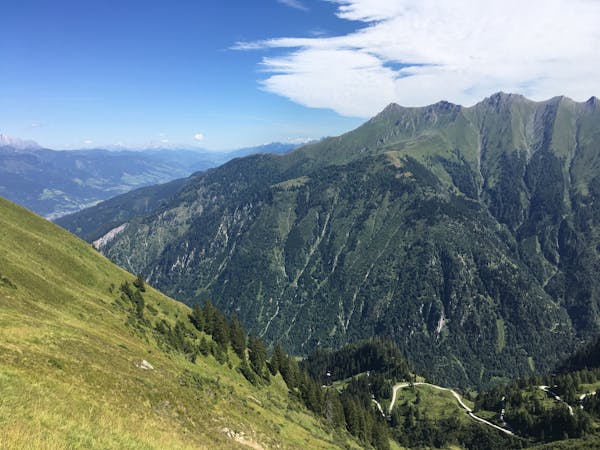
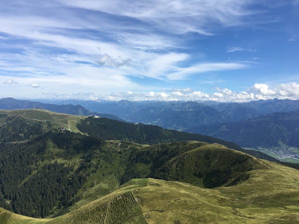
Perhaps the most beautiful high trail in the Eastern Alps.
Difficult Hiking
4.3 km away
Summit the Schmittenhöhe – Zell am See's "hiker's mountain."
Difficult Hiking
3 routes · Hiking
5 routes · Hiking
3 routes · Hiking
8 routes · Hiking