3.7 km away
Schmittenhöhe 3 Hut Loop
Shady woodlands, high alpine views and three traditional Austrian mountain huts.
Moderate Hiking
- Distance
- 4.7 km
- Ascent
- 248 m
- Descent
- 248 m
Summit the Schmittenhöhe – Zell am See's "hiker's mountain."
Hiking Difficult

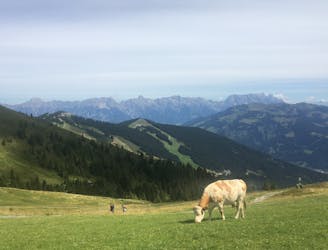
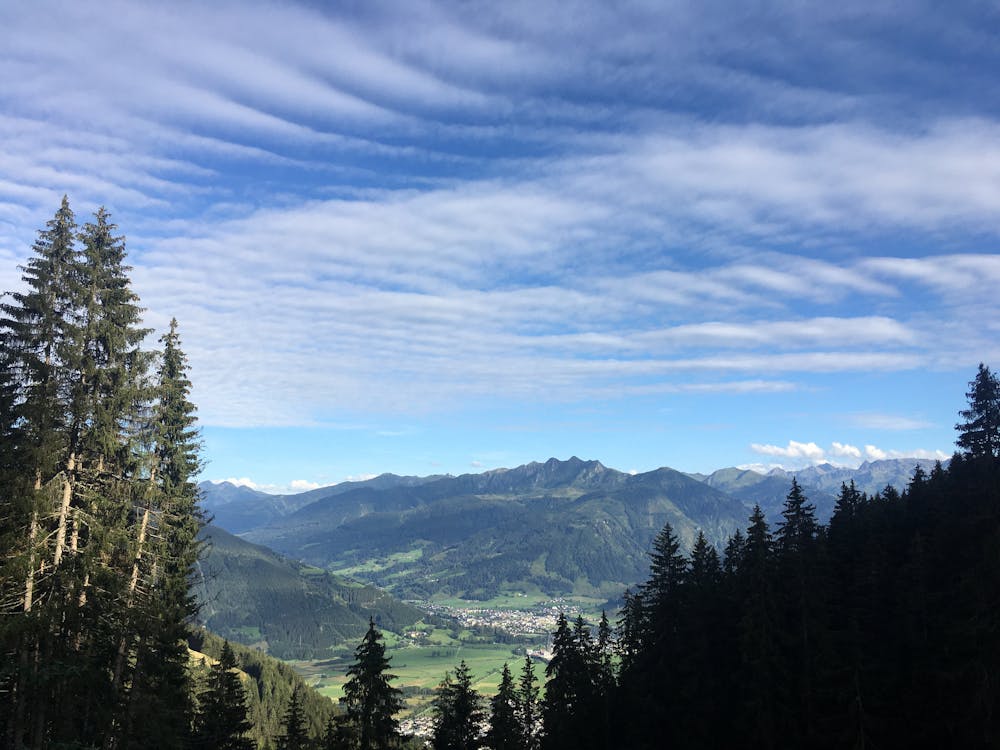
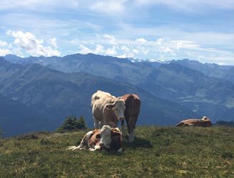
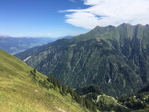
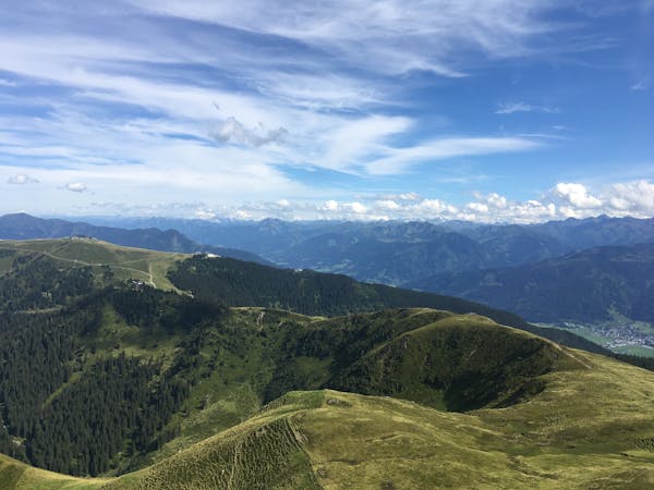
The Schmittenhöhe is the most famous mountain in the Zell am See area for hiking. It has many fantastic interconnected routes, it is easily accessible from Zell am See. and there are knockout panoramic views of the surrounding Eastern Alps, including 30 3000er peaks!
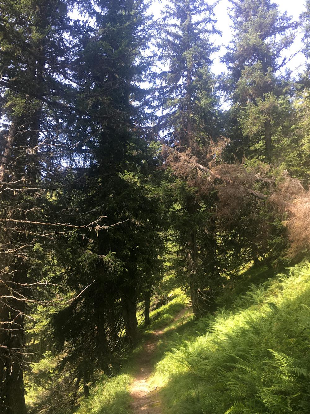
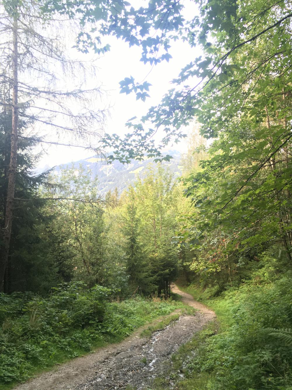
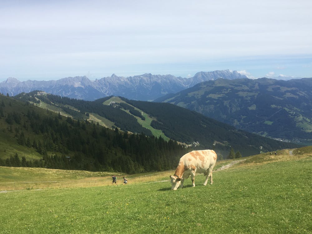
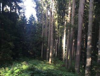
Follow the trail marked 8a from Fürth up to the Schmittenhöhe. The route takes you through shady woodlands and across root covered paths until you hit a lake just next to Breiteckalm. Here you need to switch onto path 50, which is a short, steep push to the Schmittenhöhe summit.
Once on top, stop for a snack at the Panorama Restaurant Franzi, jump on the Trassxpress cable car to Zell am See, or head back down the way you came!
Difficult
Hiking trails where obstacles such as rocks or roots are prevalent. Some obstacles can require care to step over or around. At times, the trail can be worn and eroded. The grade of the trail is generally quite steep, and can often lead to strenuous hiking.

The trail contains some obstacles such as outcroppings and rock which could cause injury.
Away from help but easily accessed.
3.7 km away
Shady woodlands, high alpine views and three traditional Austrian mountain huts.
Moderate Hiking
4.1 km away
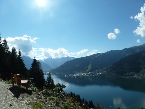
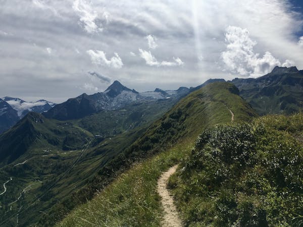
Perhaps the most beautiful high trail in the Eastern Alps.
Difficult Hiking
4.3 km away
A classic descent of the Schmittenhöhe, also known as the "4 Lakes Trail."
Moderate Hiking
3 routes · Hiking
5 routes · Hiking
3 routes · Hiking
8 routes · Hiking