563 m away
Schmittenhöhe 3 Hut Loop
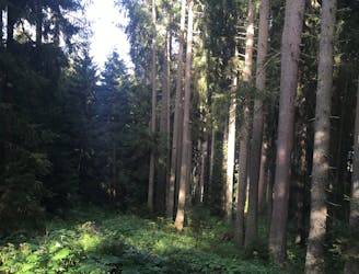
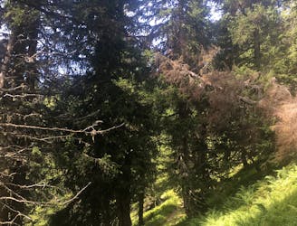
Shady woodlands, high alpine views and three traditional Austrian mountain huts.
Moderate Hiking
- Distance
- 4.7 km
- Ascent
- 248 m
- Descent
- 248 m
Perhaps the most beautiful high trail in the Eastern Alps.
Hiking Difficult

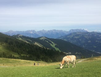
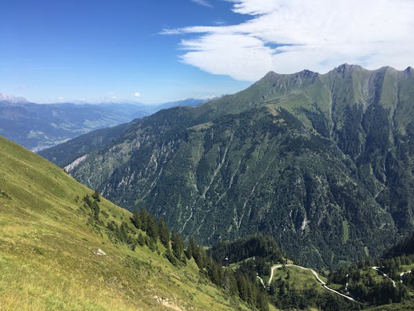
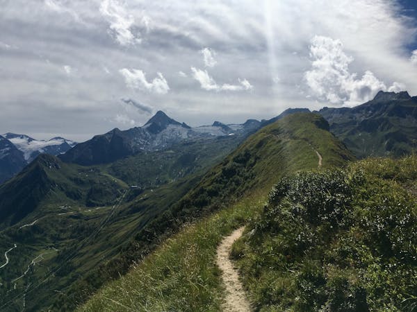
If you want breathtaking views of the Eastern Alps and you have the time and stamina for a seven-hour high alpine hike, then definitely choose the Pinzgauer Spaziergang!
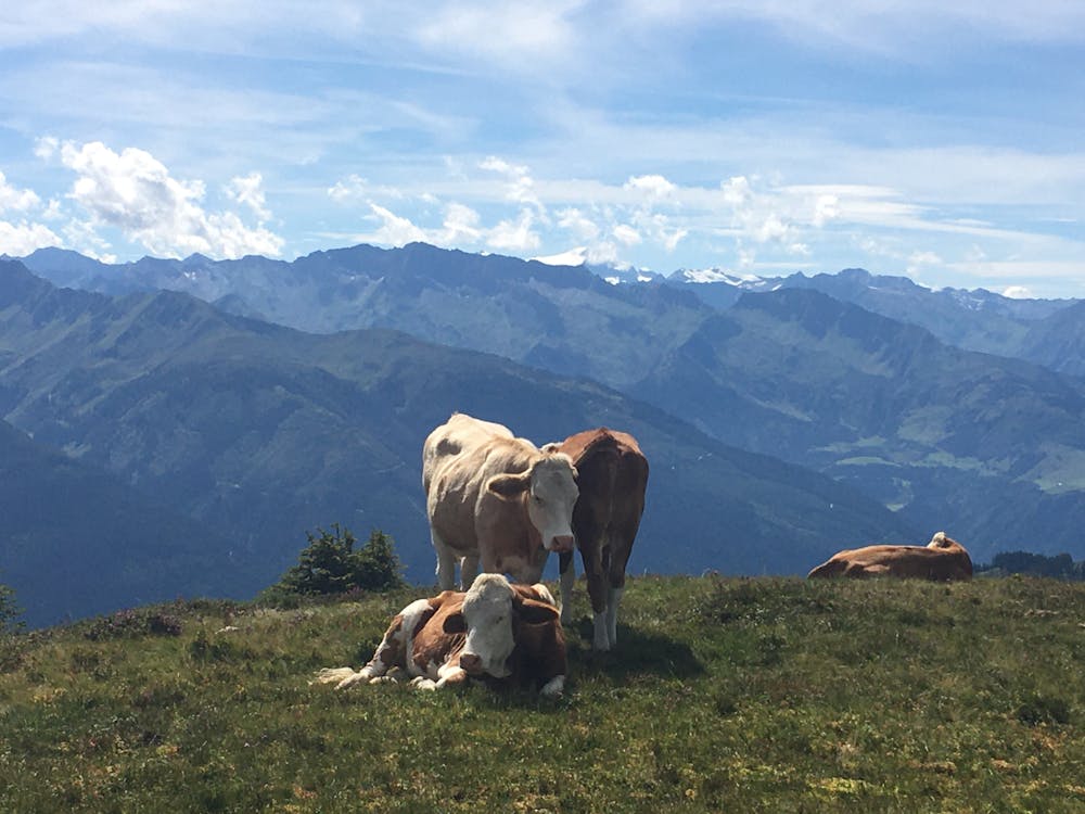
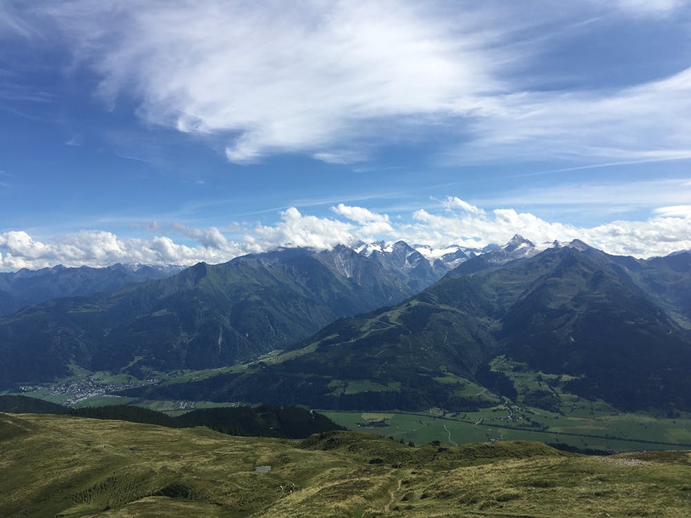

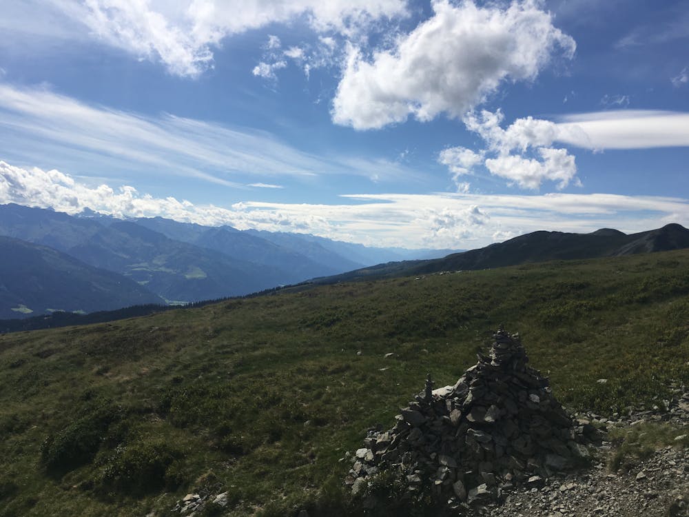
Along the hike you hop from summit to summit, admiring the towering grey Steinberge to the north and the glaciated peaks of the Hohe Tauern in the south.
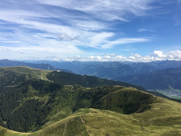
You have the opportunity to hike a series of grassy summits which ascend and then descend in size, giving the hike an arched height profile. A couple of standout peaks are the Mauerkogel (2074m) and the Stemmerkogel (2123m). As soon as you reach the Mauerkogel, most of the crowds who ride to the top of the Schmittenhöhe from Zell am See will have dropped away. You will find that your only company on the hike is a few serious hikers and the sound of marmots and cowbells.
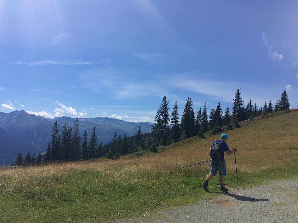
The route begins from the top of the Schmittenhöhe cable car and ends at the top of the Schattberg X-Press, where you can ride down to Saalbach and catch the bus back to your starting point in Zell am See. The trail is numbered 719 and is well-signed throughout. Just below each summit the trail signs split to give you the option of climbing the summit, or traversing just below.
Difficult
Hiking trails where obstacles such as rocks or roots are prevalent. Some obstacles can require care to step over or around. At times, the trail can be worn and eroded. The grade of the trail is generally quite steep, and can often lead to strenuous hiking.

Some trail sections have exposed ledges or steep ascents/descents where falling could cause serious injury.
Little chance of being seen or helped in case of an accident.
563 m away
Shady woodlands, high alpine views and three traditional Austrian mountain huts.
Moderate Hiking
668 m away
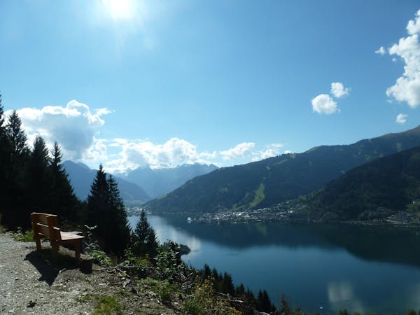
A classic descent of the Schmittenhöhe, also known as the "4 Lakes Trail."
Moderate Hiking
4.1 km away
Summit the Schmittenhöhe – Zell am See's "hiker's mountain."
Difficult Hiking
3 routes · Hiking
5 routes · Hiking
3 routes · Hiking
8 routes · Hiking