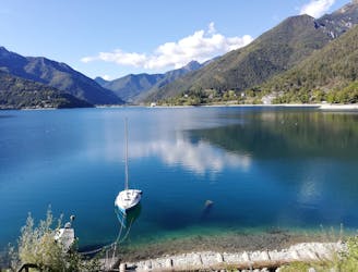
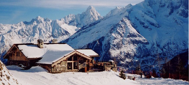
502 routes · Hiking · Ski Touring · Mountain Biking · Freeride Skiing · Alpine Climbing · Trail Running
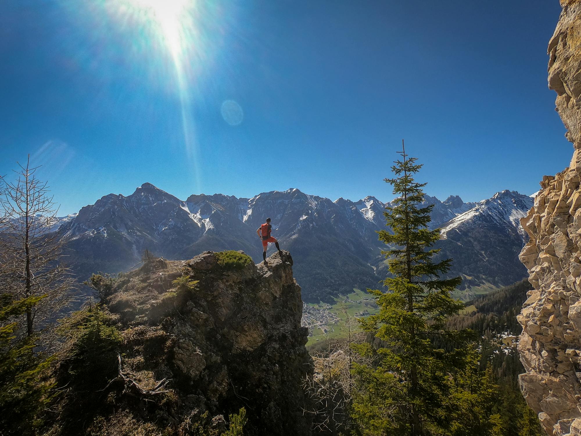
Go trail running in Tirol with curated guides of the best trail runs across the region. With over 703 3D trail maps in FATMAP, you can easily discover and navigate the best trails in Tirol.
No matter what your next adventure has in store, you can find a guide on FATMAP to help you plan your next epic trip.
Get a top trail running recommendation in Tirol from one of our 78 guidebooks, or get inspired by the 703 local adventures uploaded by the FATMAP community. Start exploring now!
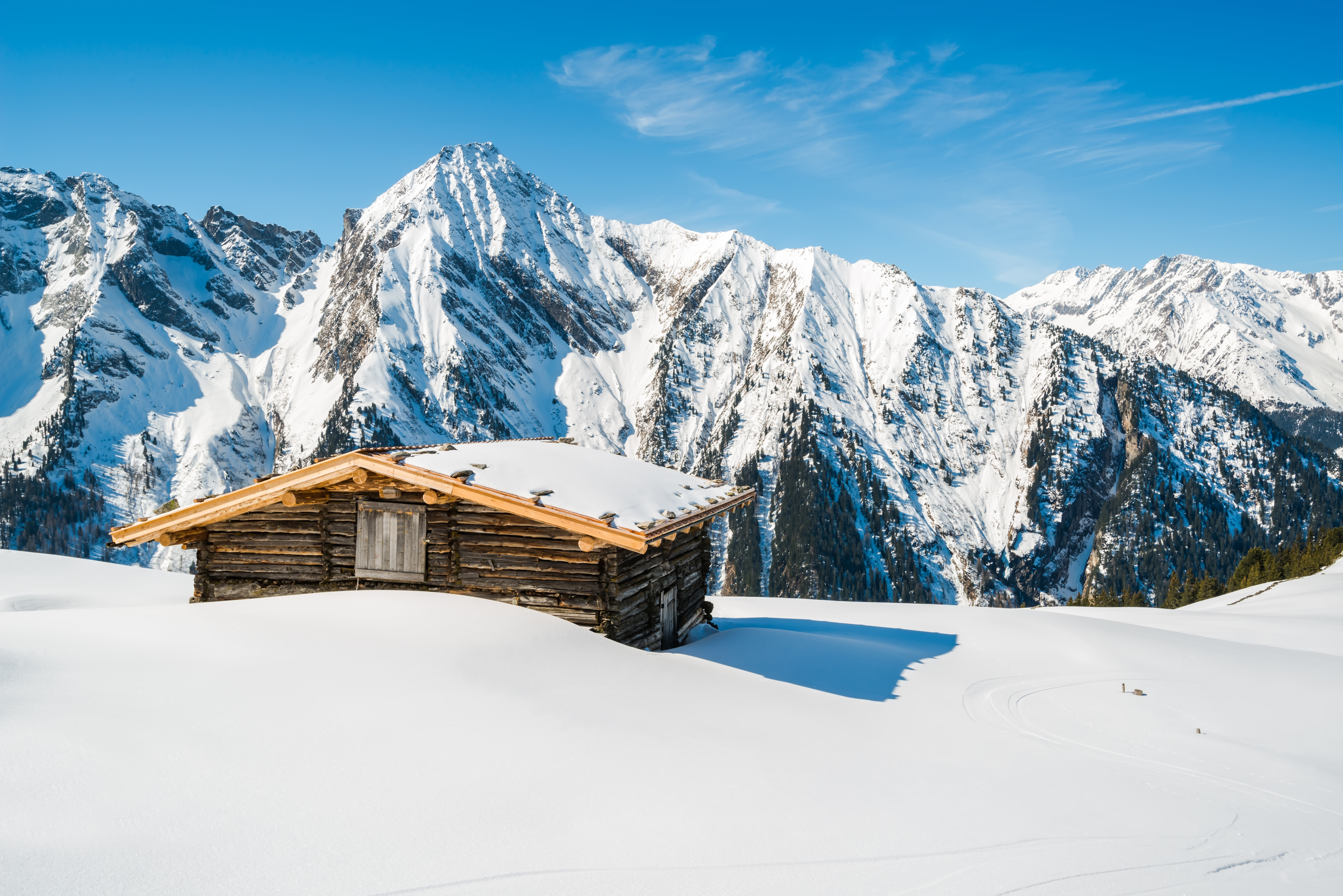
502 routes · Hiking · Ski Touring · Mountain Biking · Freeride Skiing · Alpine Climbing · Trail Running
91 routes · Hiking · Mountain Biking · Trail Running · Ski Touring · Freeride Skiing
57 routes · Mountain Biking · Freeride Skiing · Hiking
54 routes · Freeride Skiing · Ski Touring
35 routes · Hiking · Freeride Skiing
26 routes · Mountain Biking
23 routes · Freeride Skiing · Hiking
22 routes · Freeride Skiing · Hiking
Run to the top of Kitzbühel's ruggedly-beautiful mountain.
Difficult Trail Running
A fantastic loop tour of Kitzbühel Valley highlights, including the hills behind the beautiful Schwarzsee.
Moderate Trail Running
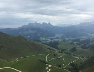
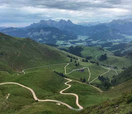
Run up the famous downhill ski track on the Hahnenkamm.
Difficult Trail Running
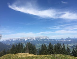
A relatively short and easy high altitude run on the beautiful Kitzbühler Horn.
Moderate Trail Running
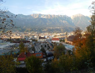
A great little hit of wilderness which is easily reached from the city.
Moderate Trail Running

https://www.runskitirol.com/trails/stanser-joch-loop
Moderate Trail Running

www.runskitirol.com/trails/wilder-kaiser-short-loop
Easy Trail Running

www.runskitirol.com/trails/ridge-obernberg-north
Moderate Trail Running

7 routes · Alpine Climbing · Mountain Biking · Hiking · Trail Running

3 routes · Trail Running
4 routes · Trail Running