4 m away
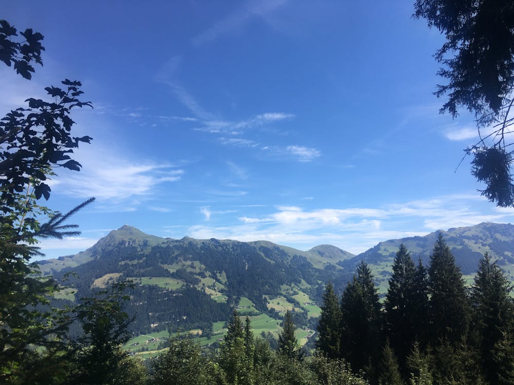
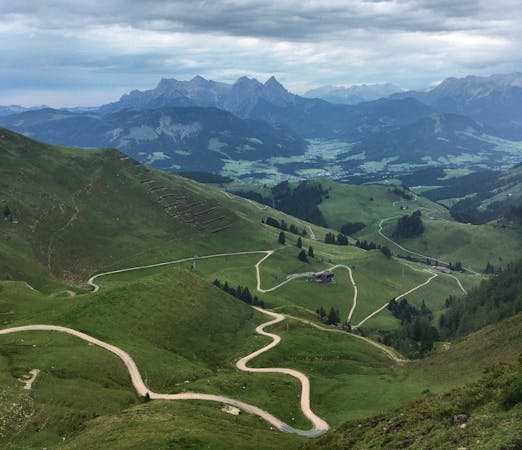
The Lebenberg Loop
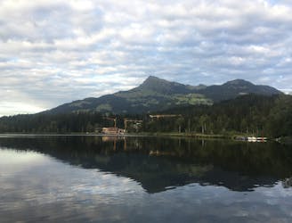
A fantastic loop tour of Kitzbühel Valley highlights, including the hills behind the beautiful Schwarzsee.
Moderate Trail Running
- Distance
- 12 km
- Ascent
- 426 m
- Descent
- 425 m
Run up the famous downhill ski track on the Hahnenkamm.
Trail Running Difficult

The Streif is the world-famous downhill ski race that takes part annually on the Hahnenkamm mountain and has put the Austrian town of Kitzbühel on the map. In the summertime, when the snow, racers, and spectators have long departed, the Steif opens itself up to a whole new realm of possibilities. Hikers and runners can track the race in either direction, enjoying the surrounding forests, wildflower meadows, and views across the Kitzbühl Alps.
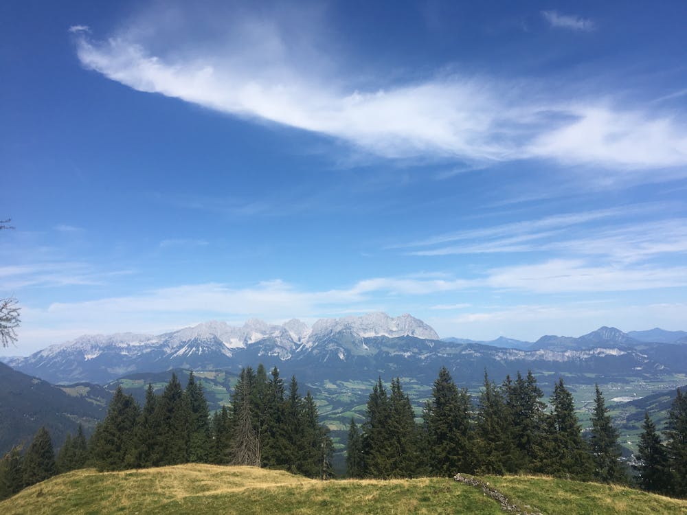
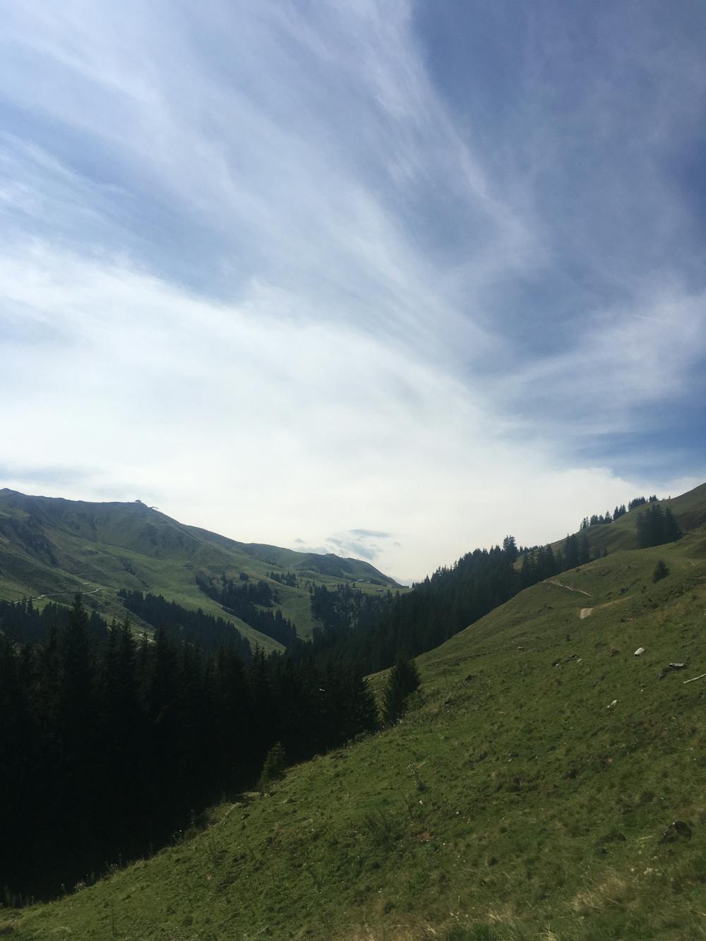
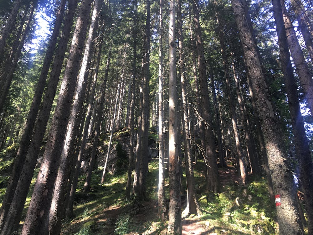
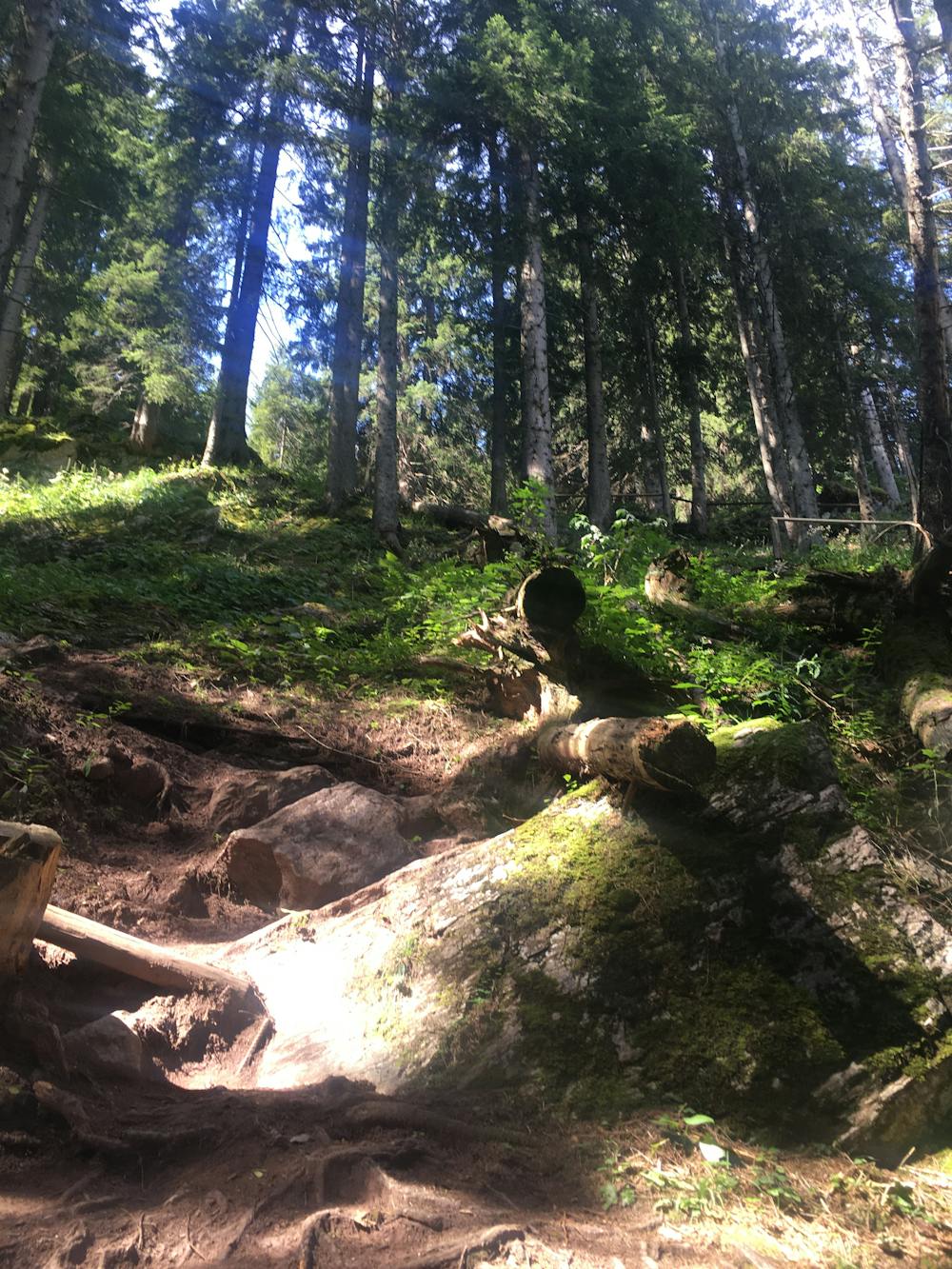
This trail run takes you from the bottom station of the Hahnenkammbahn all the way to the starting hut of the Streif. At the start of the trail, you will run down the Hausberg valley before climbing steeply up past the Seidlalm, Brückenschuss, and Mausefalle before reaching the start of the Streif. Be prepared to be greeted by crowds of tourists photographing the start of the Streif! You can head back down on the Hahnenkammbahn.
Difficult

Some trail sections have exposed ledges or steep ascents/descents where falling could cause serious injury.

Away from help but easily accessed.
4 m away
A fantastic loop tour of Kitzbühel Valley highlights, including the hills behind the beautiful Schwarzsee.
Moderate Trail Running
843 m away
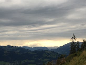
Run to the top of Kitzbühel's ruggedly-beautiful mountain.
Difficult Trail Running
4.1 km away
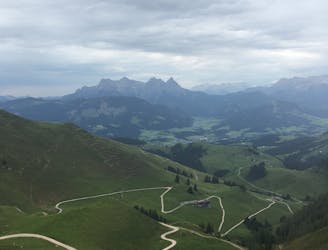
A relatively short and easy high altitude run on the beautiful Kitzbühler Horn.
Moderate Trail Running
4 routes · Trail Running