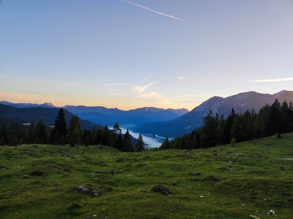
Seebergspitze Souteast-ridge
A very scenic and very technical Singletrail above Achensee
Mountain Biking Difficult
- Distance
- 14 km
- Ascent
- 1.3 km
- Descent
- 1.3 km
- Duration
- 2-3 hrs
- Low Point
- 930 m
- High Point
- 2.1 km
- Gradient
- 22˚

UPHILL: Leave the parking lot to follow the signs to Köglalm fighting up some steep ramps. Passing the hut the road will lose some height and cross a stream but will increase in steepness soon. After Seekaralm the road traverses along the mountain until ending with some switchbacks at Pasillalm.
- •
- •
- •
Description
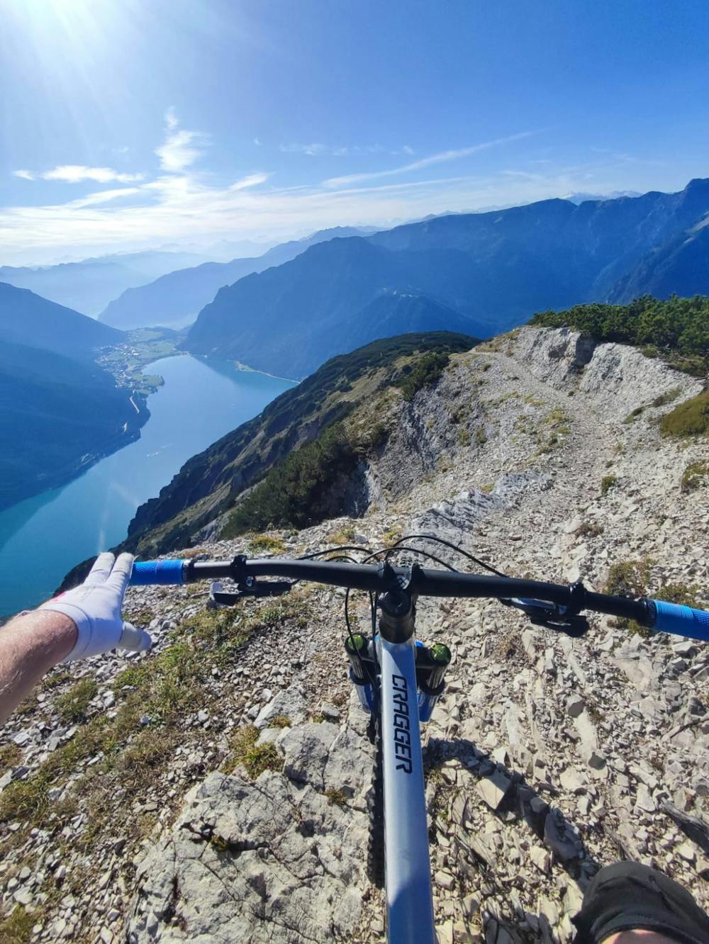
From here, you have to start carrying your bike to Pasill-sattel and then up the ridge to your left for another hour.
DOWNHILL: After you´ve enjoyed one of the best views in tyrol, start carrying your bike down the southeast-ridge until the trail becomes rideable depending on your skill level. Note that there will be some sections that are not ridable further down the trail. The trail on the ridge features a few no-fall zones.
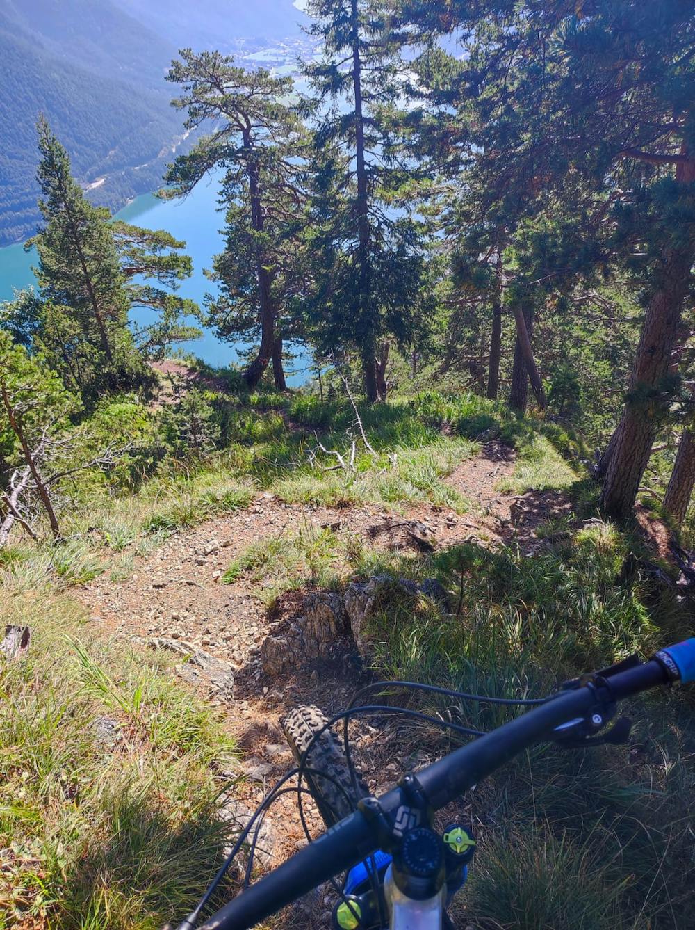
Entering the forest, navigation remains obvious. Take a left turn at the two or three forks to end your trail with some switchback action at the lake to get your well deserved ice-cream.
Difficulty
Difficult
Mostly stable trail tread with some variability featuring larger and more unavoidable obstacles that may include, but not be limited to: bigger stones, roots, steps, and narrow curves. Compared to lower intermediate, technical difficulty is more advanced and grades of slopes are steeper. Ideal for upper intermediate riders.
High Exposure

Some trail sections have exposed ledges or steep ascents/descents where falling could cause serious injury.
Remoteness
Little chance of being seen or helped in case of an accident.
Best time to visit
Features
- Technical
- Hike a bike
- Picturesque
- Singletrack
- In the forest
- Drops
- Roots
- Rock Rolls
- Rock Slabs
- Wooden Feature