Schafhimmel (2820m) from Zaunhof
Seldom attempted ski tour with many variation possibilities in the upper area.
Ski Touring Difficult
- Distance
- 6.4 km
- Ascent
- 1.4 km
- Descent
- 116 m
- Duration
- 5-6 hrs
- Low Point
- 1.5 km
- High Point
- 2.8 km
- Gradient
- 36˚

A difficult tour after the forest line.
- •
- •
- •
- •
- •
Description
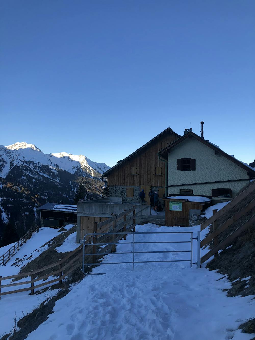
Park directly in Oberlehn at the beginning of the forest road (approx. 1500m) to the Ludwigsburger Hütte, but there are only very few parking spaces there (approx. 3 cars). The car park at the material cable car is larger (approx. 10 cars) but makes the tour a little longer (if necessary, shorten it by taking the summer path to the forest road).
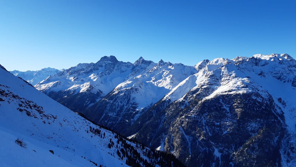
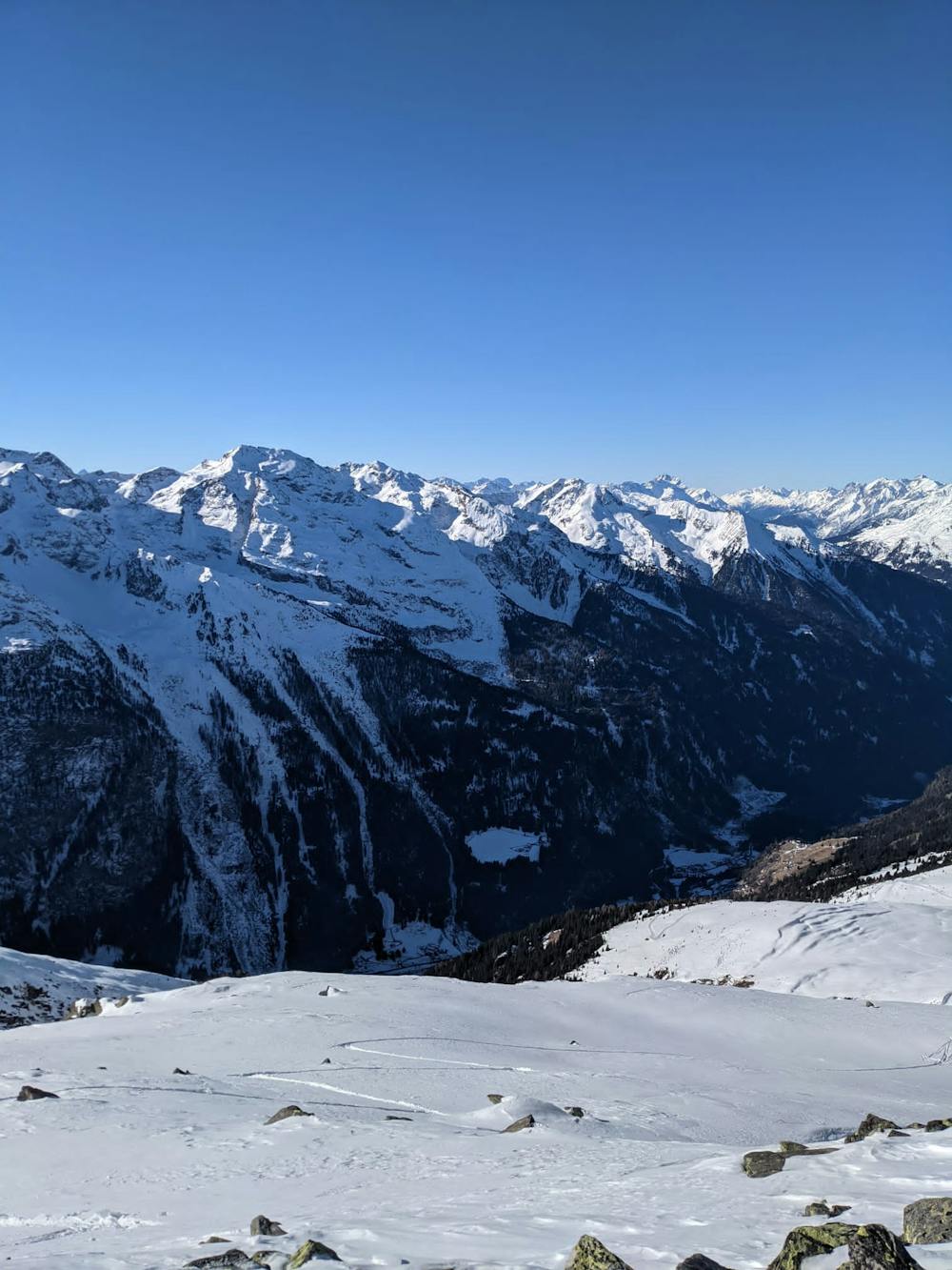
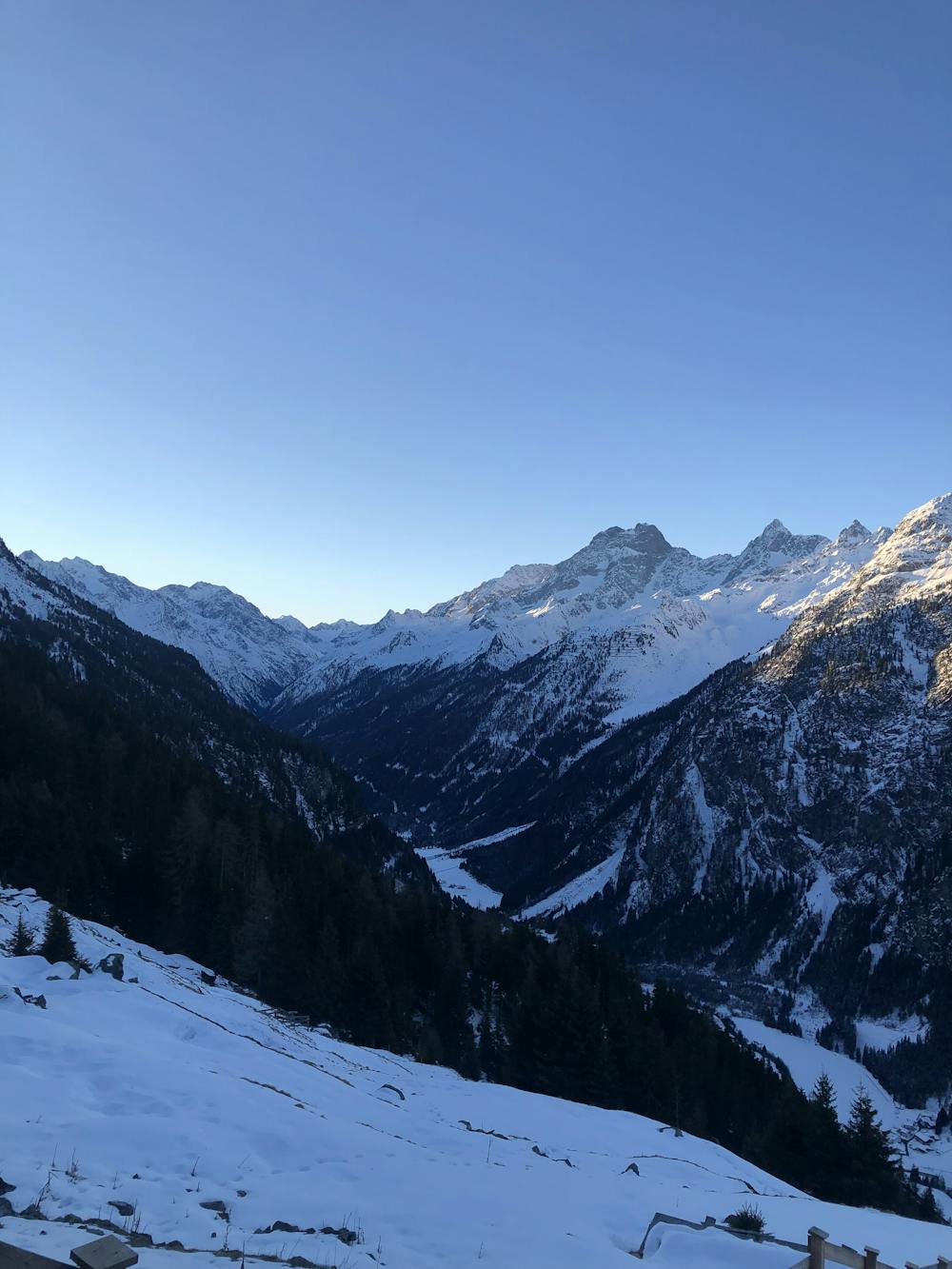
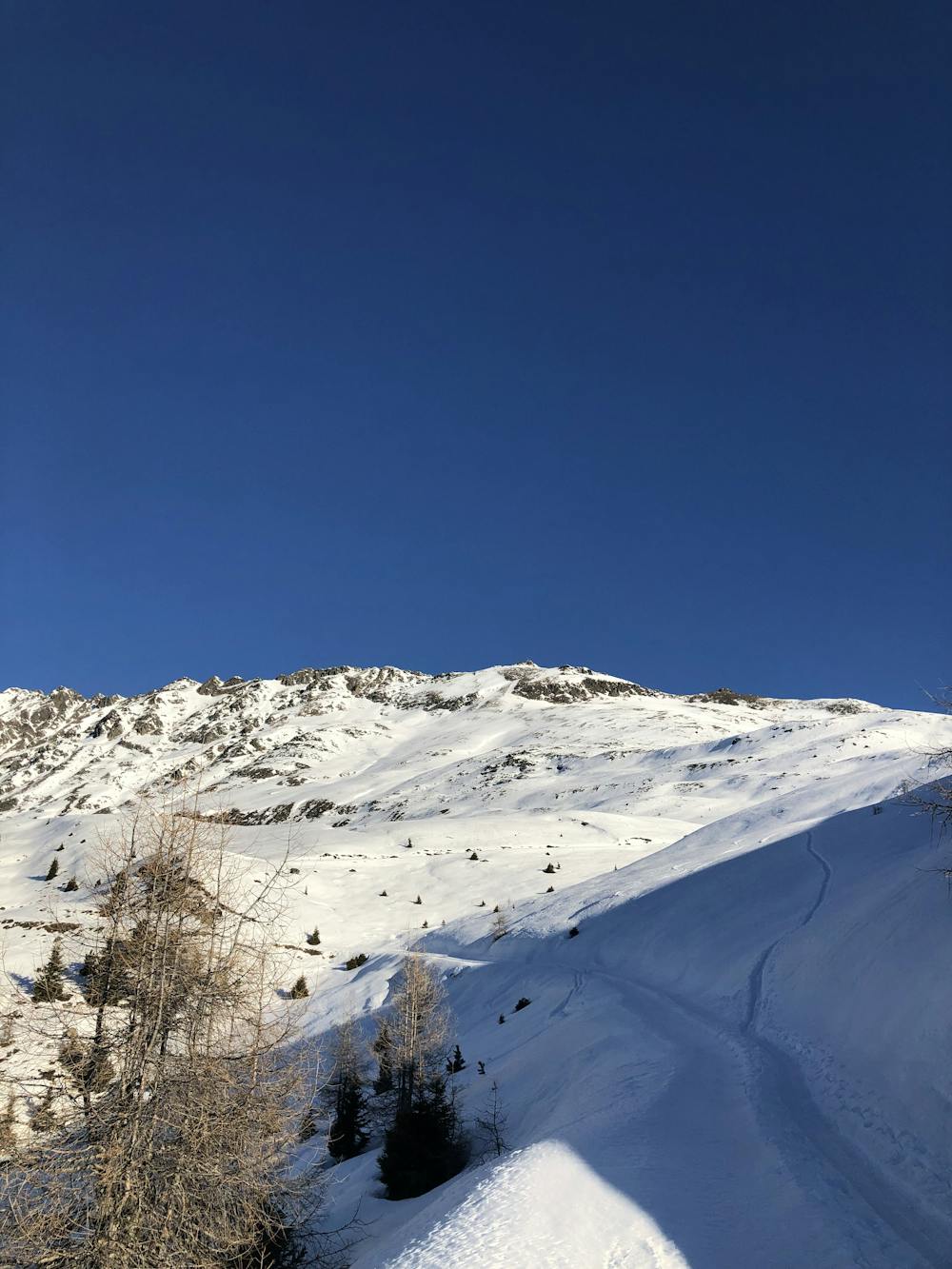
The lower part on the forest road drags on. At the Ludwigsburger Hütte, you slowly come out of the forest and now have free skiing terrain in front of you. From approx. 2200m, the route continues in a bend in the direction of Lehnerjoch. However, you do not reach it, as you turn back onto a wide southern ridge earlier. Climb up this ridge and finally, keeping to the left, head towards the summit slope. The summit slope is very steep and requires safe conditions (Ski crampons useful if necessary). For the last few metres, the skis have to be removed for a short time, then the route leads over rocky terrain to the summit.
In safe conditions, the descent is also possible directly to the south-west in the direction of the Ludwigsburger Hütte. If the snow conditions are good, the forest road can also be shortened in some places.
Difficulty
Difficult
Serious gradient of 30-38 degrees where a real risk of slipping exists.
Medium Exposure (E2)

As well as the slope itself, there are some obstacles (such as rock outcrops) which could aggravate injury.
Remoteness
Away from help but easily accessed.
Best time to visit
Equipment required
- Skins