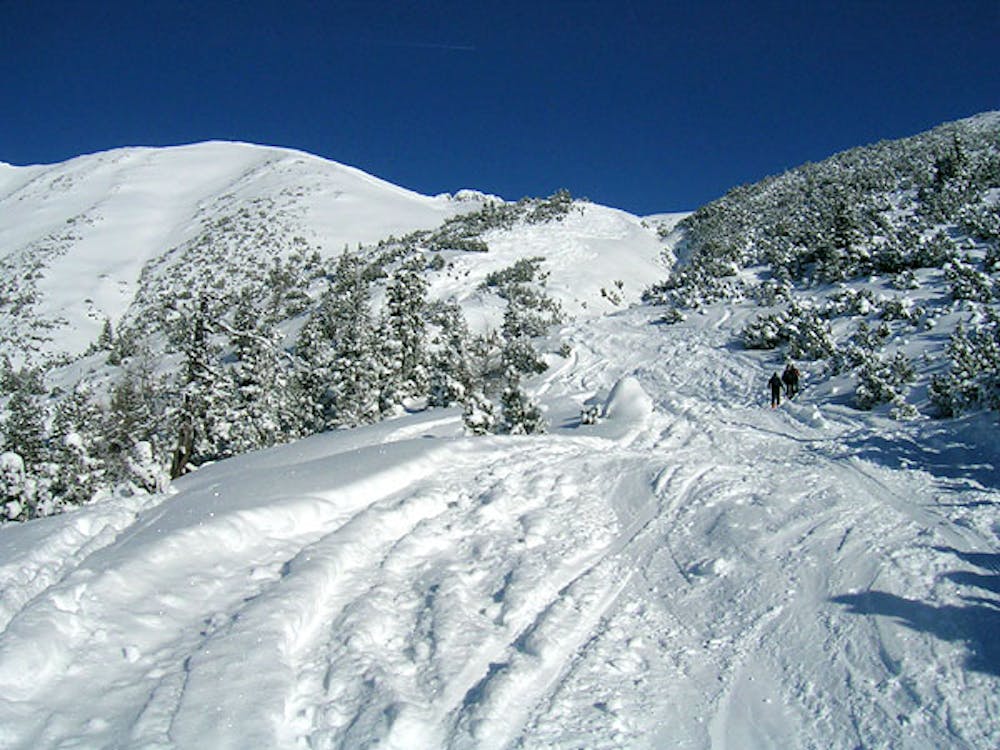
Wankspitze
Fairly easy and safe Skitour.
Ski Touring Moderate
- Distance
- 5.1 km
- Ascent
- 1.1 km
- Descent
- 0 m
- Duration
- 3-4 hrs
- Low Point
- 1.1 km
- High Point
- 2.2 km
- Gradient
- 30˚

This is a popular ski touring route which is generally considered to be moderate. It's remote, it features low exposure (e1) and is typically done between December and March. From a low point of 1.1 km to the maximum altitude of 2.2 km, the route covers 5.1 km, 1058 vertical metres of ascent and 0 vertical metres of descent.
Description
Easy and fairly safe Skitour.
Difficulty
Moderate
Slopes become slightly steeper at around 25-30 degrees.
Low Exposure (E1)

Exposure is limited to that of the slope itself. Getting hurt is still likely if the slope is steep and/or the snow is hard.
Remoteness

Away from help but easily accessed.
Best time to visit
Features
- Single Descent