Kemater Alm
Axamer Lizum
A classic Innsbruck sledging route which enjoys, even by Tirolian standards, incredible mountain views.
Sledging Moderate
- Distance
- 11 km
- Ascent
- 704 m
- Descent
- 704 m
- Low Point
- 993 m
- High Point
- 1.7 km
- Gradient
- 18˚

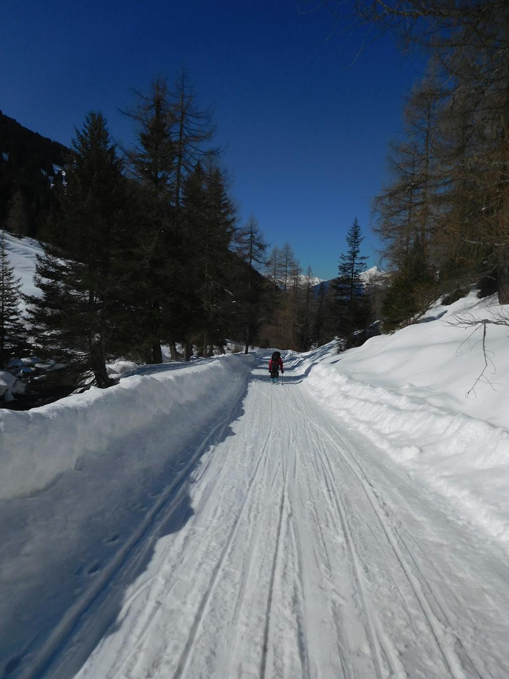
Park in the centre of Grinzens village and walk south to where Fernereben street reaches a jeep track with a barrier across it. This marks the start of the route.
- •
- •
Description
Hike up the jeep track as it meanders up (without any steep climbs) for 5 kilometres, at which point you emerge out of the trees and into the beautiful open valley that houses the Kemater Alm mountain hut.
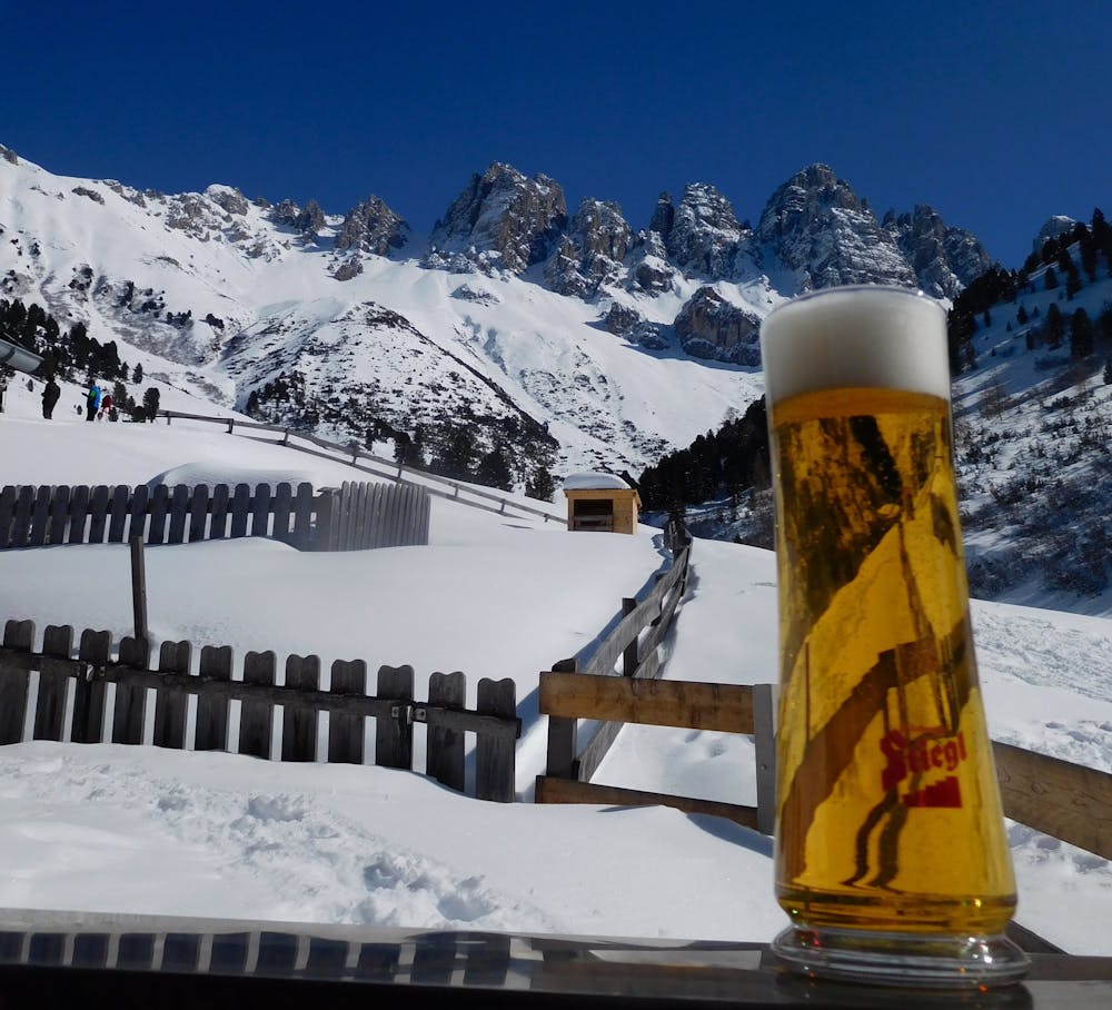
Soak in the views of the imposing Kalkogel peaks and settle in for a hearty meal and a good beer.
Suitably refreshed, jump on your sledge and head back down the jeep track all the way back to Grinzens. There are no sharp corners or steep sections but there are a couple of blind bends so take care when going round these that you don't collide with anyone walking up.
Difficulty
Moderate
Remoteness

Away from help but easily accessed.