Dornbirn Morning Run
Great Brisk Morning Run
Hiking Moderate
- Distance
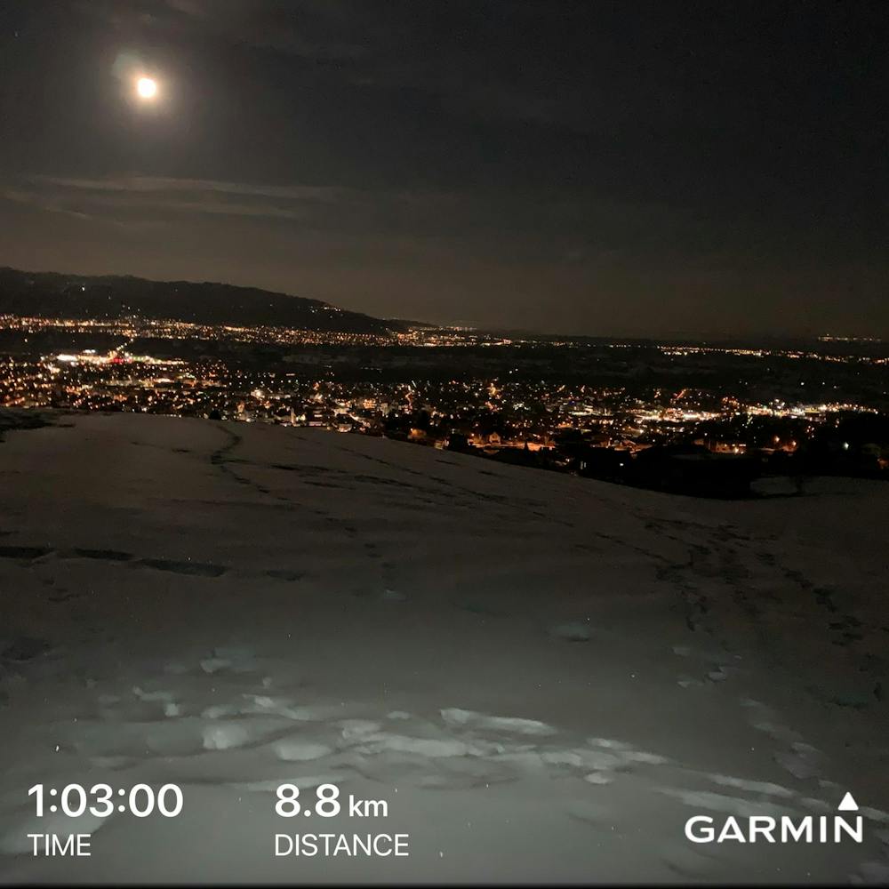
- 8.8 km
- Ascent
- 339 m
- Descent
- 339 m
- Duration
- 2-3 hrs
- Low Point
- 431 m
- High Point
- 737 m
- Gradient
- 9˚

This is a popular hiking route which is generally considered to be moderate. It's not remote, it features low exposure and is typically done in undefined. From a low point of 431 m to the maximum altitude of 737 m, the route covers 8.8 km, 339 vertical metres of ascent and 339 vertical metres of descent.
Description
This is a great early morning run. Steep moderate-length climbs, mostly on trails. Mixed snow and ice in February, with great views of Dornbirn and Bregenz
Difficulty
Moderate
Hiking along trails with some uneven terrain and small hills. Small rocks and roots may be present.
Low Exposure

The path is on completely flat land and potential injury is limited to falling over.
Remoteness
Close to help in case of emergency.
Best time to visit
Features
- Picturesque
- Summit Hike
- Dog friendly