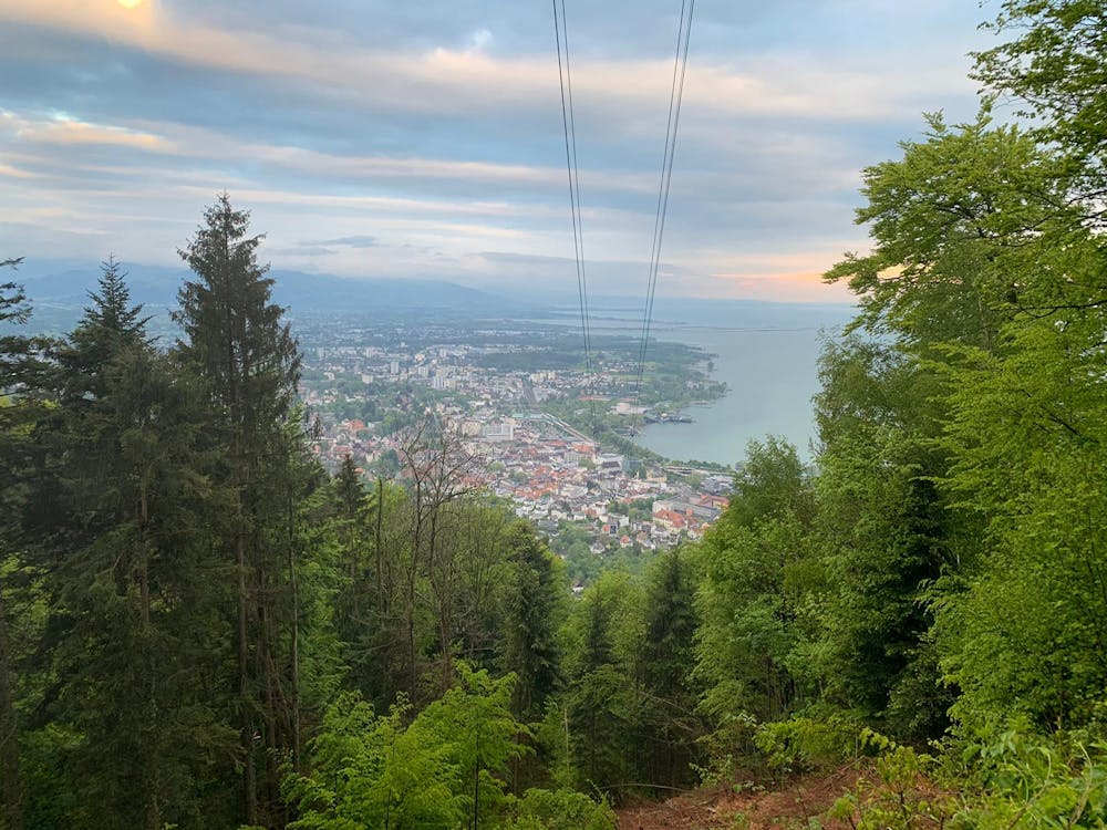
Pfäender
Great trail run through beautiful forest -- medium gradient but slippery in some places
Trail Running Moderate
- Distance
- 12 km
- Ascent
- 686 m
- Descent
- 685 m
- Duration
- 2-3 hrs
- Low Point
- 401 m
- High Point
- 1 km
- Gradient
- 12˚

This is a popular trail running route which is generally considered to be moderate. It's not remote, it features low exposure and is typically done all year round. From a low point of 401 m to the maximum altitude of 1 km, the route covers 12 km, 686 vertical metres of ascent and 685 vertical metres of descent.
Description
Medium Gradient and great scenery
Difficulty
Moderate
Low Exposure

The path is on completely flat land and potential injury is limited to falling over.
Remoteness
Close to help in case of emergency.