3 routes · Trail Running
Flowy single trails flanked by impressive calc stone walls
Trail Running Difficult

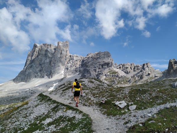
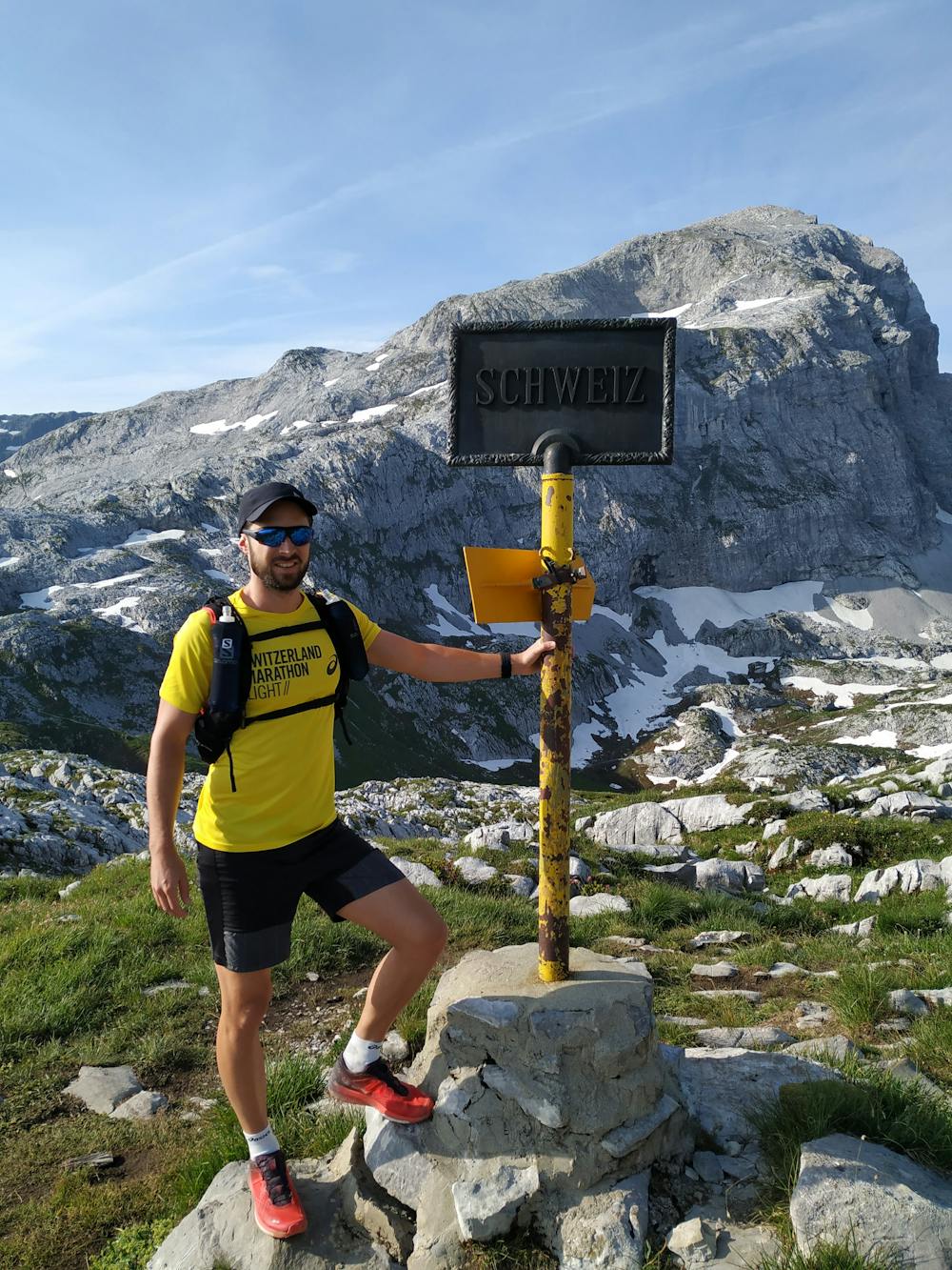
This day is definitely the highlight of the tour. A few hundred meters after leaving the Tilisuna hut you cross the border back into Switzerland. The trail is narrow and exposed in some sections as you drop down to the Partnunsee, where it's advised to stop and collect some energy for today's biggest challenge; a steep climb leading up to the Prättigauer Höhenweg.
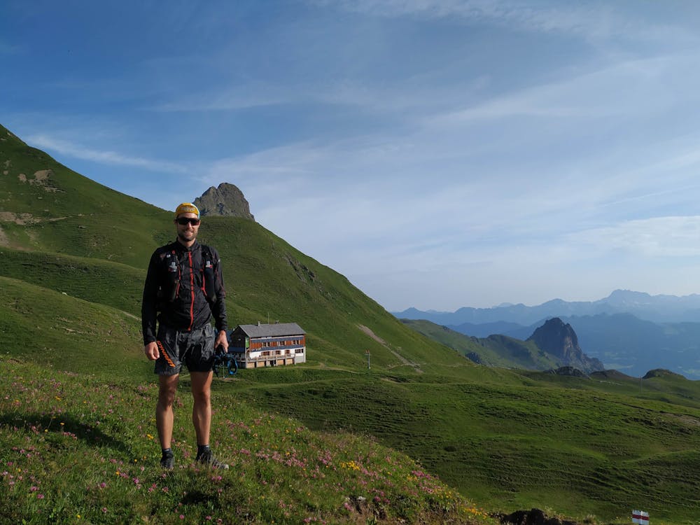
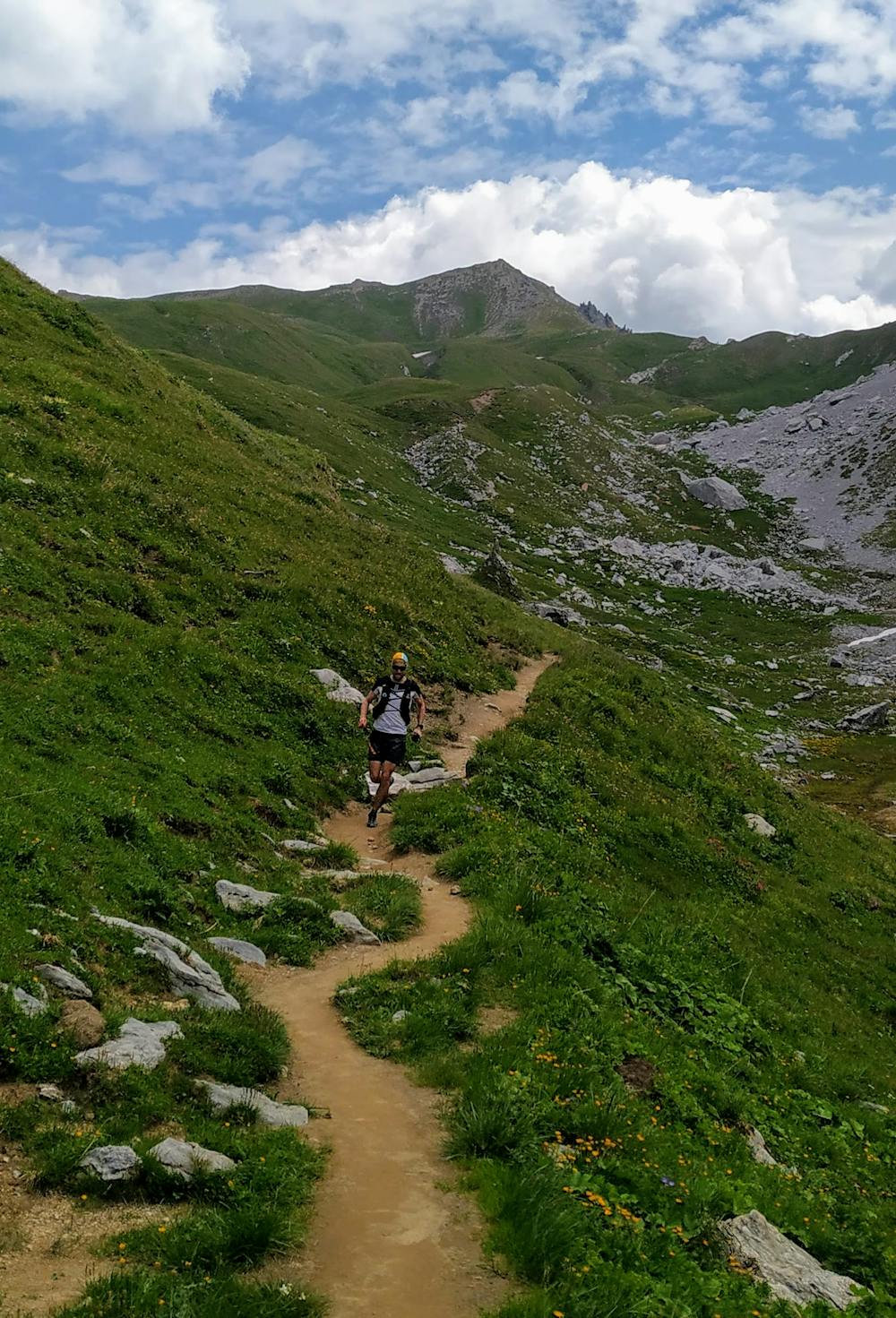
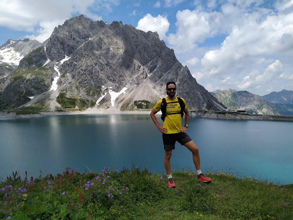

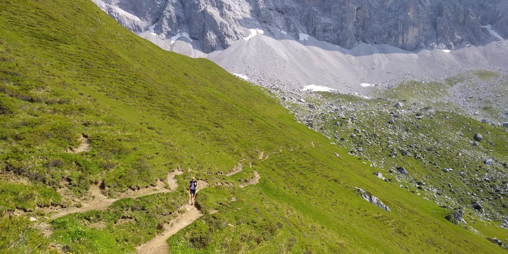
Loose rocks require concentration as you continue to the Carschina hut. With the hardest part of the day behind you, the trail becomes easy and you feel like you're flying along the impressive calc stone walls. A short, but very exposed section (called the Schweizertor) leads back to Austria, where the trail becomes easy again. Tackle the last climb of the day and then enjoy a fun and fast downhill along a stream leading into the crystal clear Lünersee with Schesaplana in the background. The last part is mostly flat along a mountain road and across the dam to Douglas hut, where you can enjoy dinner overlooking the lake and stay for the night.
More details and booking at www.swisstrailguide.com
Difficult

Some trail sections have exposed ledges or steep ascents/descents where falling could cause serious injury.
Little chance of being seen or helped in case of an accident.
3 routes · Trail Running