Dinant MTB
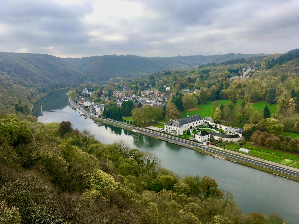
Singletrack mountain bike ride in the river valley south of Dinant.
Mountain Biking Difficult
- Distance
- 23 km
- Ascent
- 654 m
- Descent
- 654 m
- Duration
- 2-3 hrs
- Low Point
- 89 m
- High Point
- 237 m
- Gradient
- 16˚

This is a popular mountain biking route which is generally considered to be difficult. It's an unknown remoteness, it features unknown exposure and is typically done in an unknown time of year. From a low point of 89 m to the maximum altitude of 237 m, the route covers 23 km, 654 vertical metres of ascent and 654 vertical metres of descent.
Description
A combination of numerous trails near Dinant into a decent mountain bike ride. The ride can be extended or shortened based on your desired length and difficulty.
Difficulty
Difficult
Mostly stable trail tread with some variability featuring larger and more unavoidable obstacles that may include, but not be limited to: bigger stones, roots, steps, and narrow curves. Compared to lower intermediate, technical difficulty is more advanced and grades of slopes are steeper. Ideal for upper intermediate riders.