Maglic: Prijevor - Maglic - Trnovacko Jezero
VIDEO: https://youtu.be/QfZpAqIDyKo
Hiking Moderate
- Distance
- 12 km
- Ascent
- 1.1 km
- Descent
- 1.2 km
- Duration
- 4-5 hrs
- Low Point
- 1.4 km
- High Point
- 2.4 km
- Gradient
- 29˚

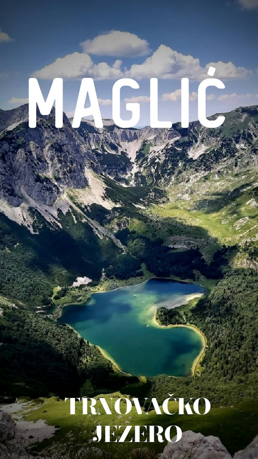
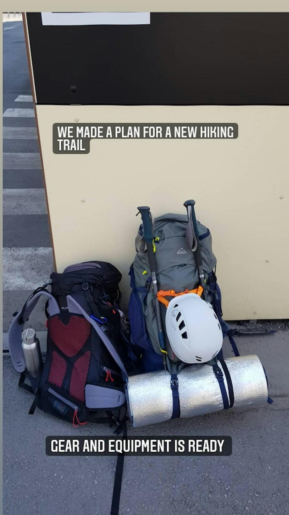
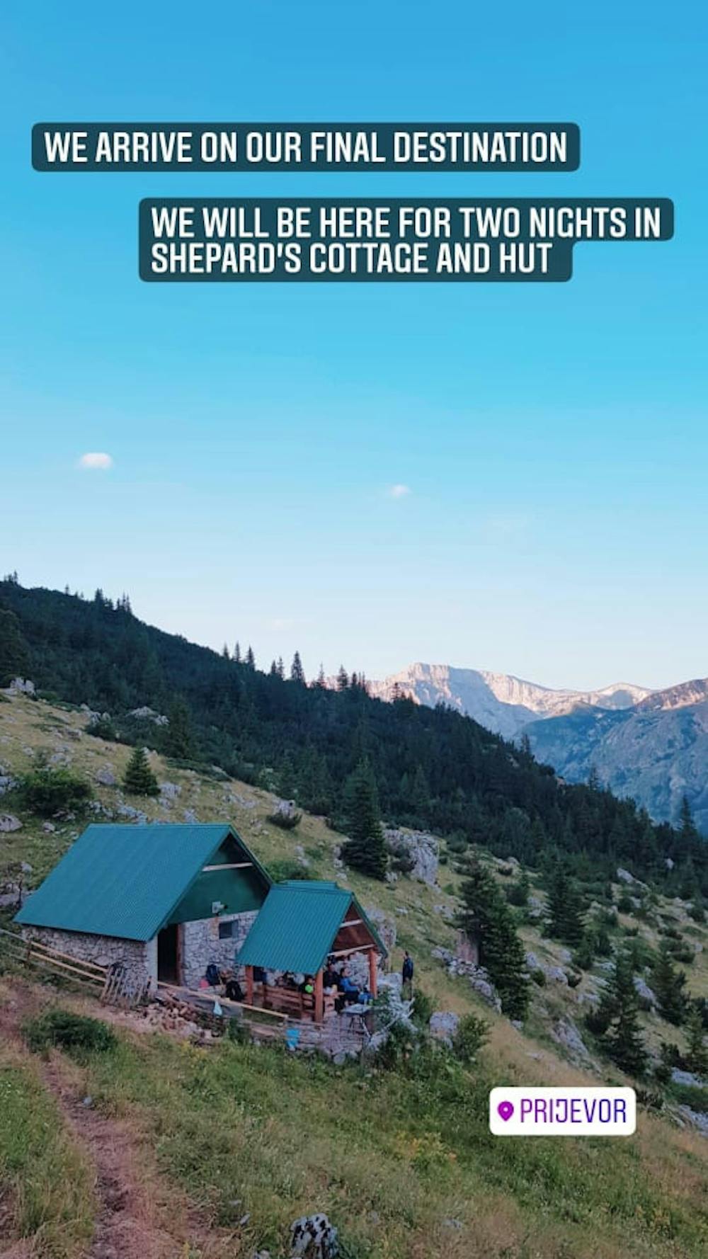
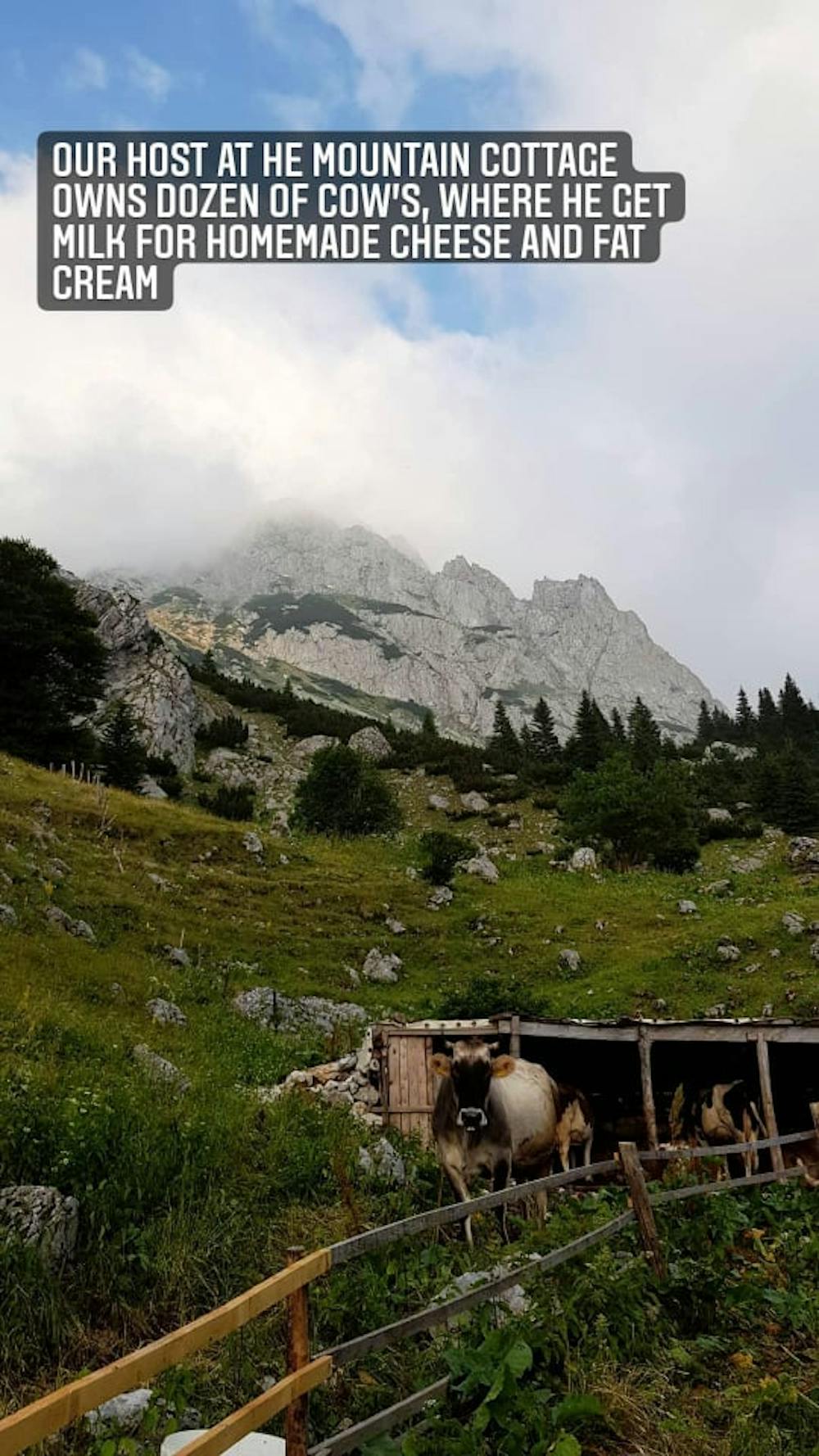
As part of the guide plan of activities for 2021, a trip to Mount Maglic, the highest peak of Bosnia and Herzegovina was implemented, on which occasion the mountain paths were presented which successfully sealed the peaks of Maglic, Bosnian peak (2386 mnv) and Montenegrin peak (2386 mnv) and Montenegrin peak were presented ( 2388 mnv). On the trail of movement, we visited Trnovac lake (1517 mnv). The trip was realized for days 09.07. (Friday), 10.07. (Saturday) and 11.07. (Sunday) Departure, Friday at 14. o'clock in front of the hotel Tuzla-Zivinica - Kladanj - Sarajevo - Foča (Brod on Drina) - Tjentište - Prejovor. (National Park ′′ Sutjeska ′′) Arrival at the location of the Transfiguration approx. 21 hour. Accommodation and accommodation at PAOK Banja Luka facility.

- •
- •
- •
- •
- •
- •
- •
- •
- •
- •
- •
- •
- •
- •
- •
- •
- •
- •
- •
- •
- •
- •
- •
- •
- •
- •
- •
- •
Description
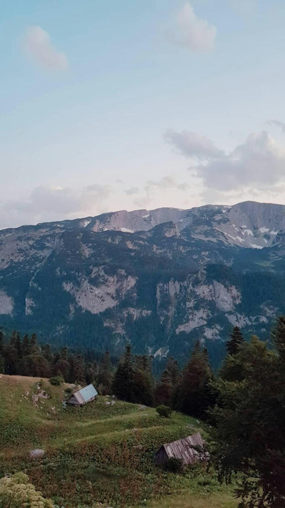
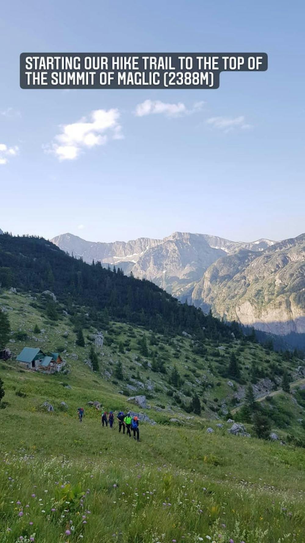
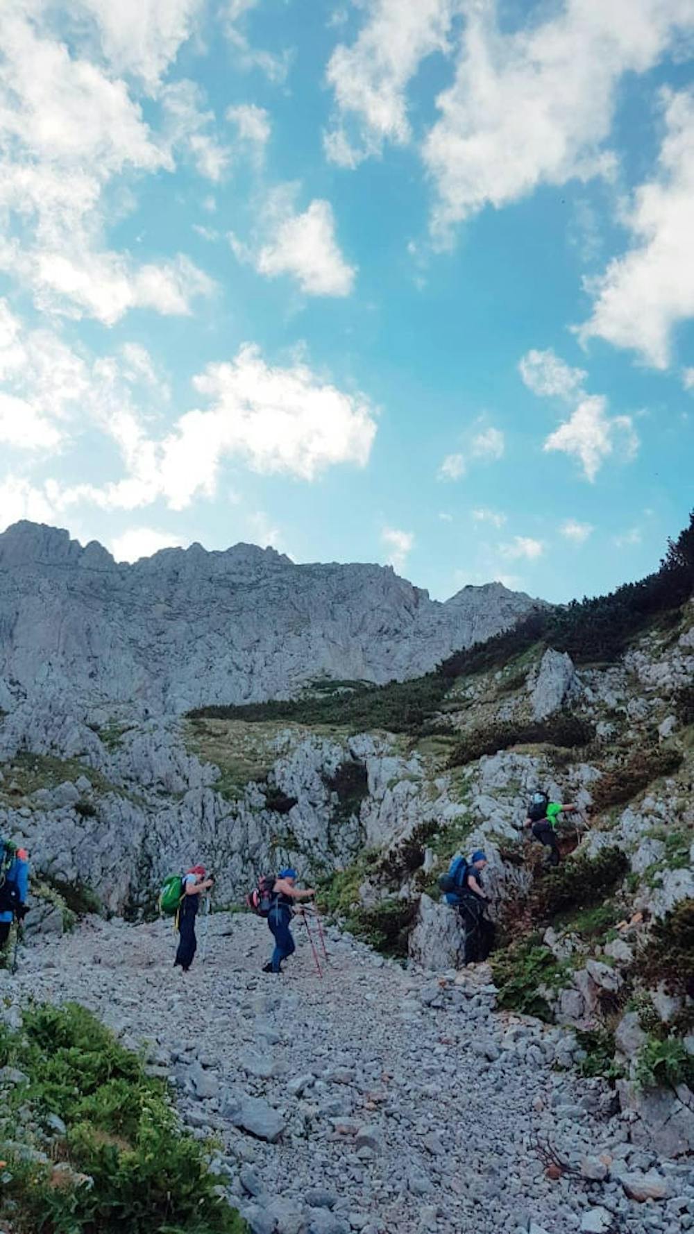
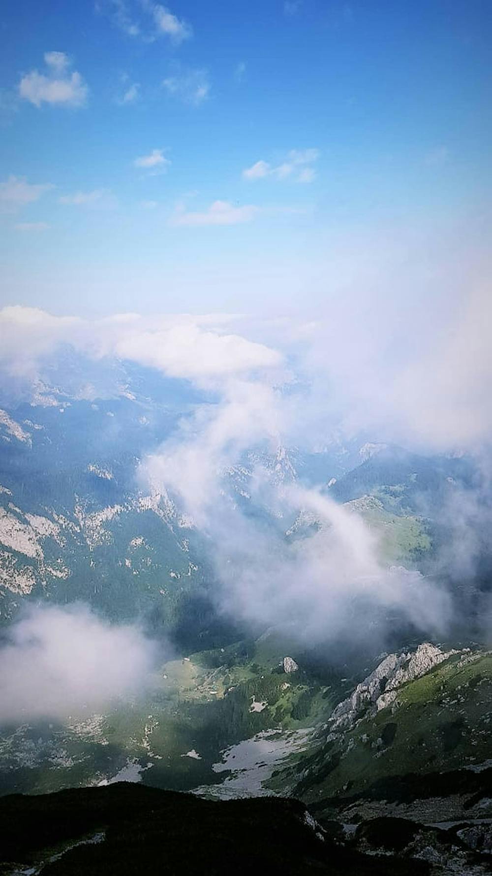
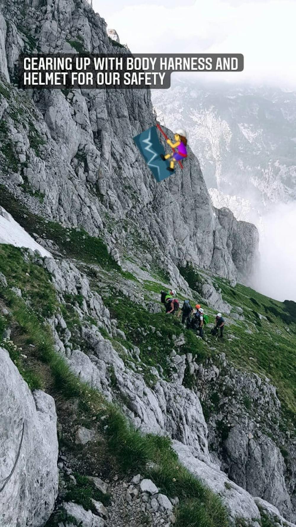
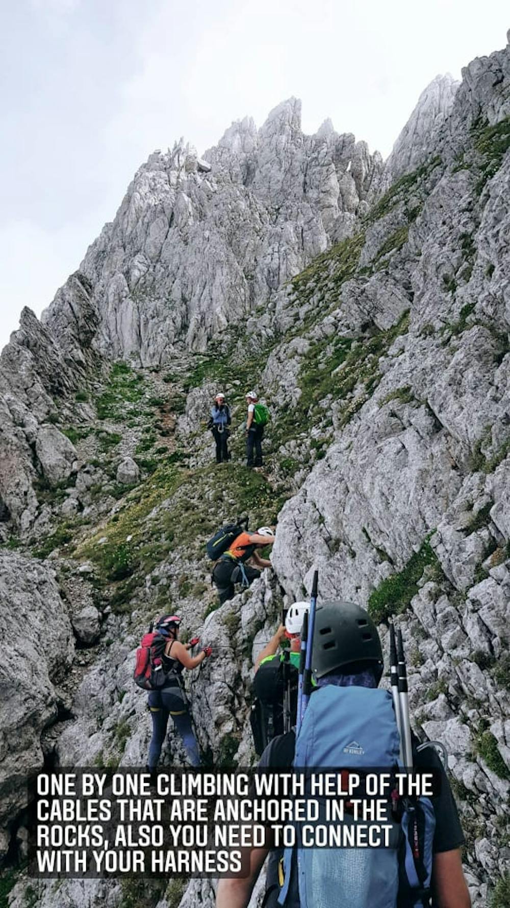
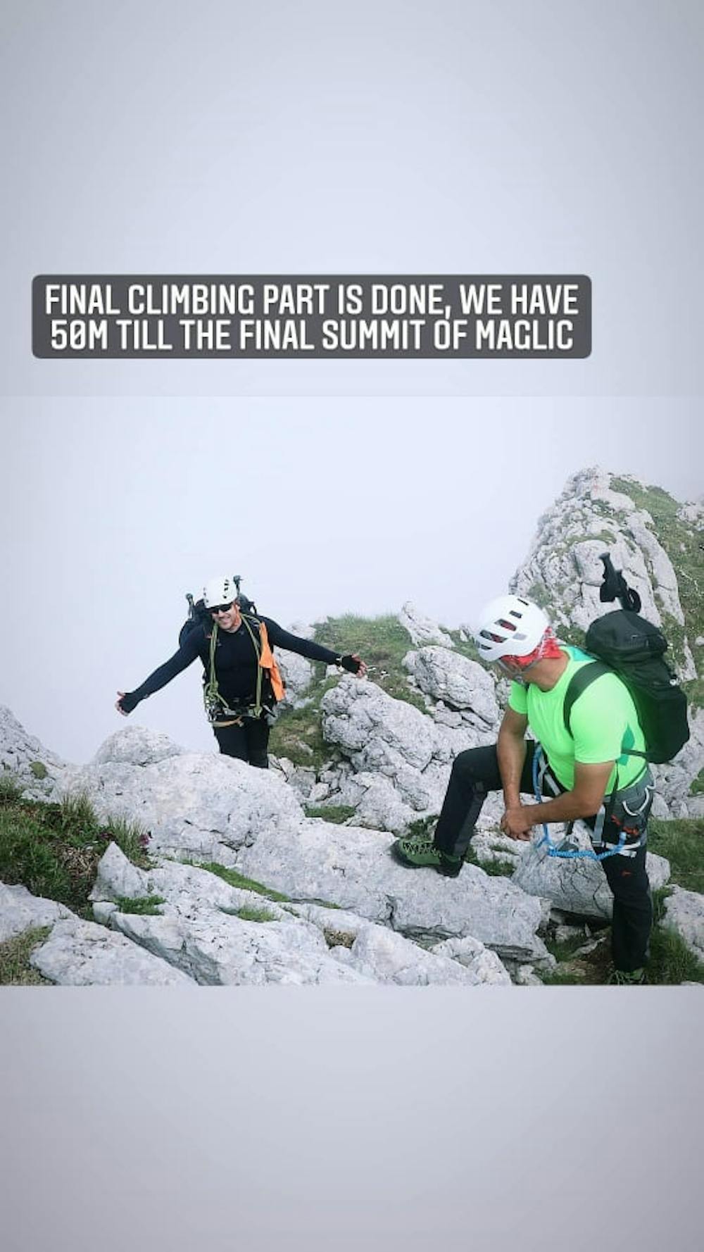
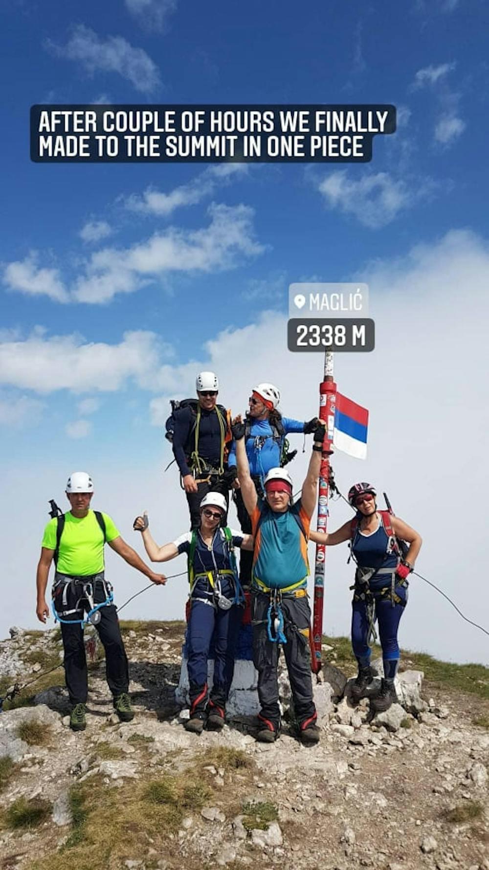
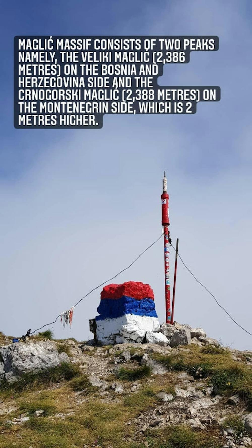
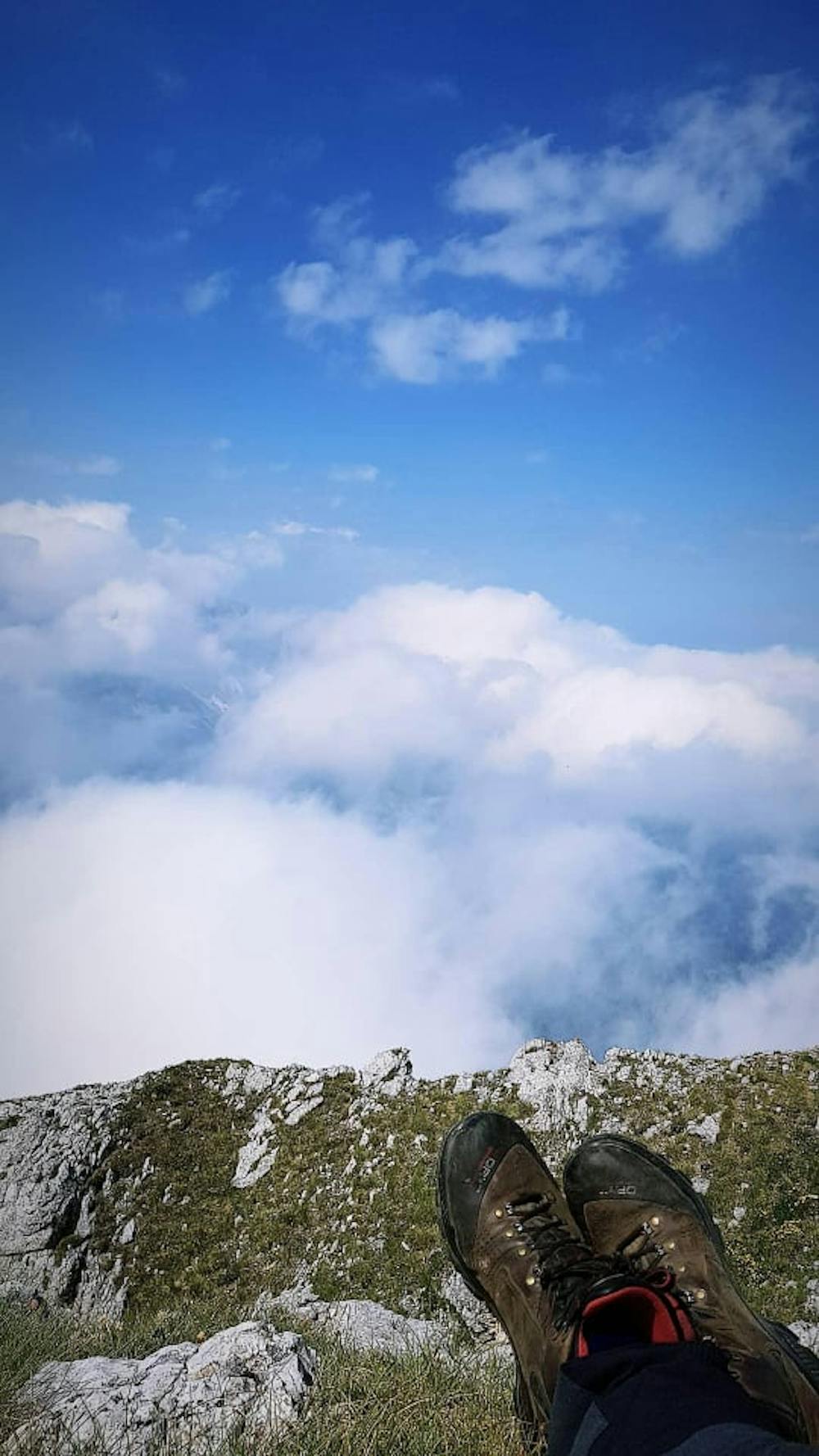
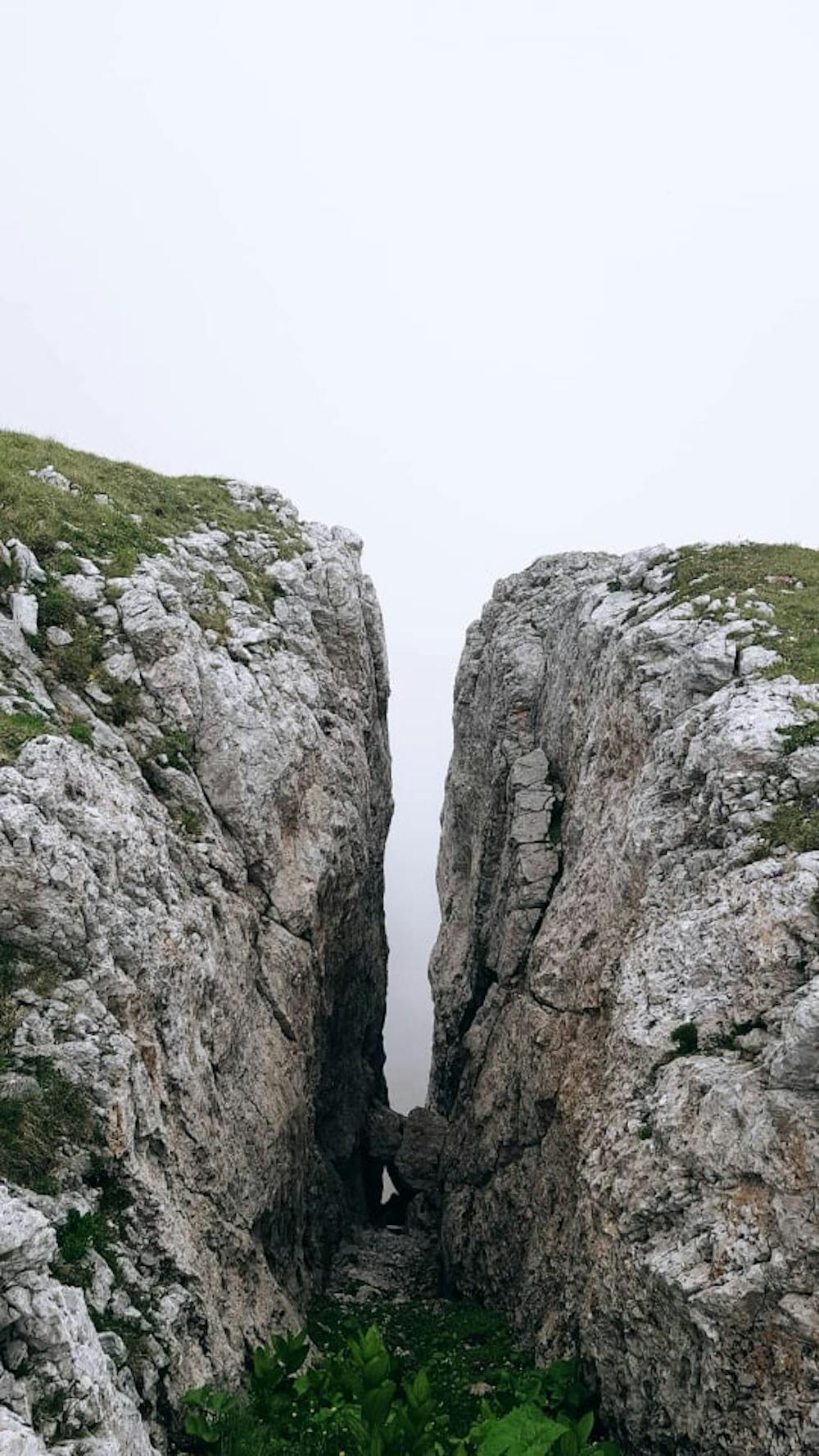
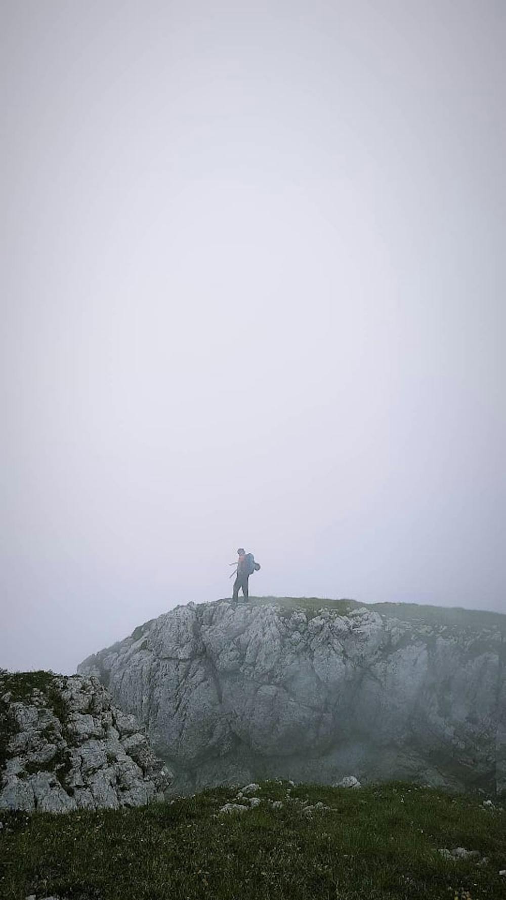
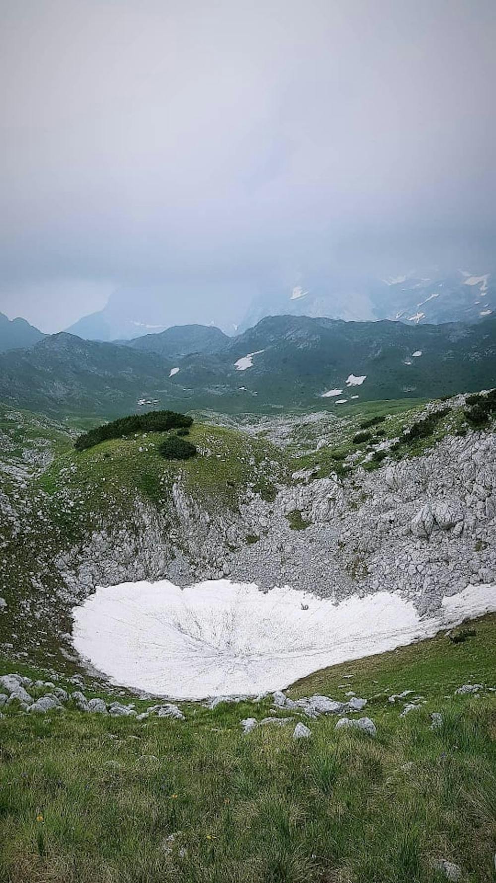
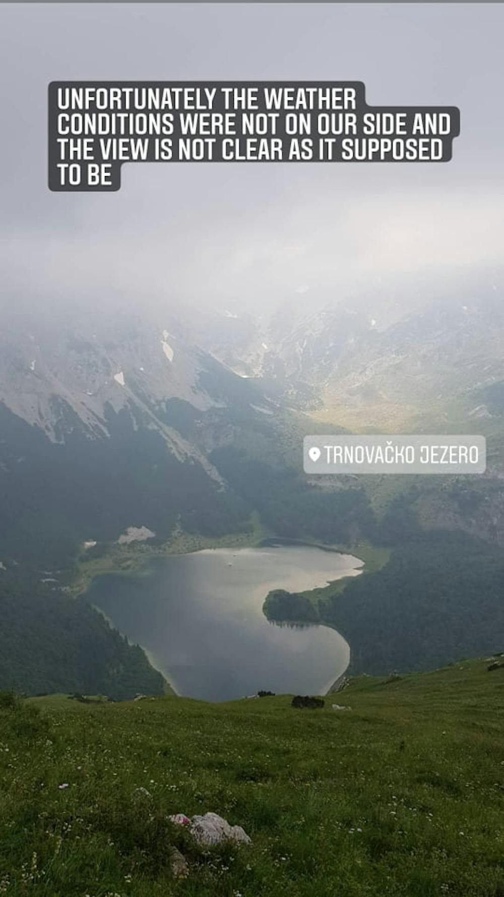
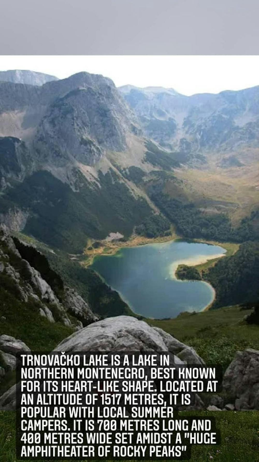
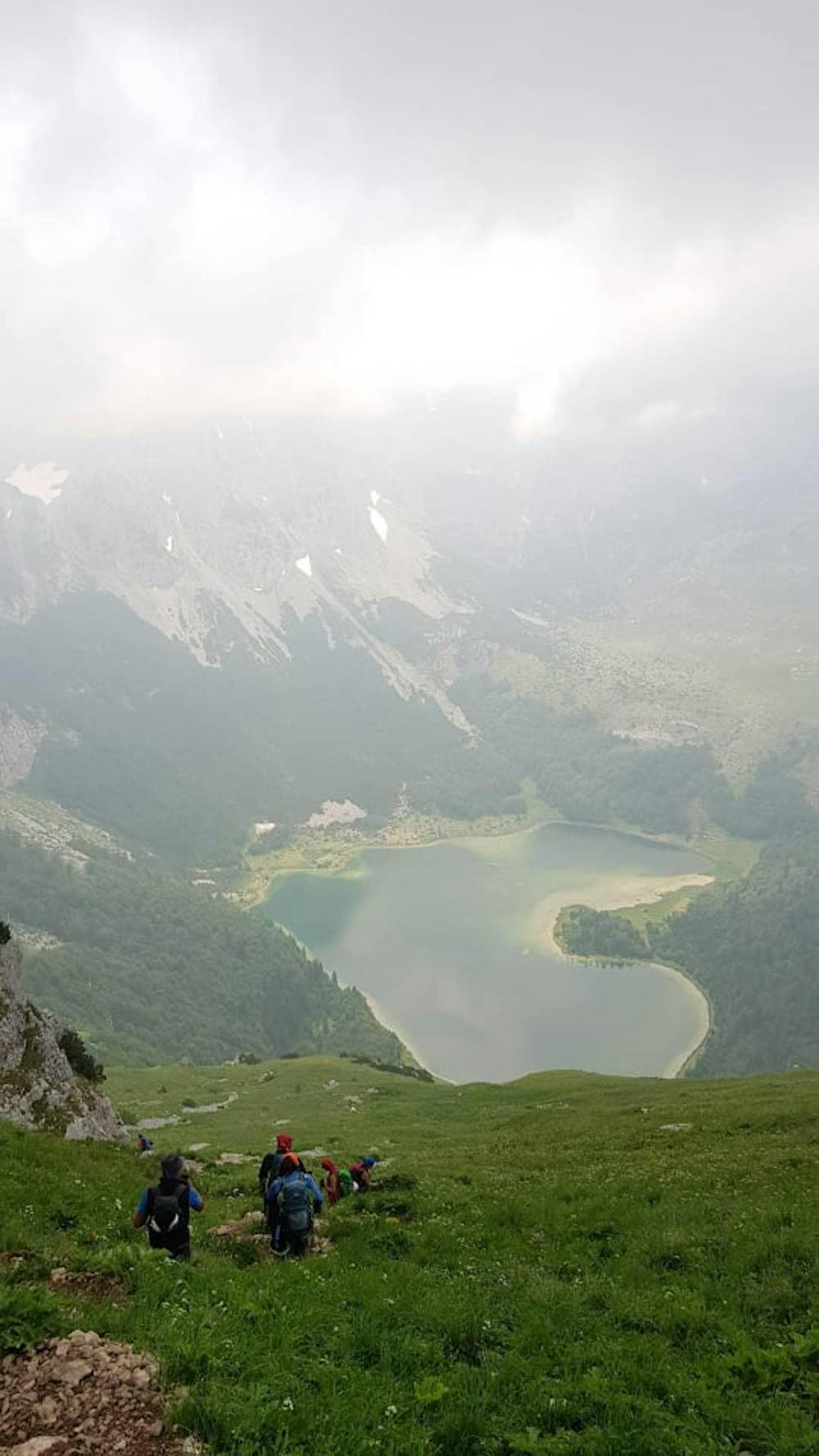
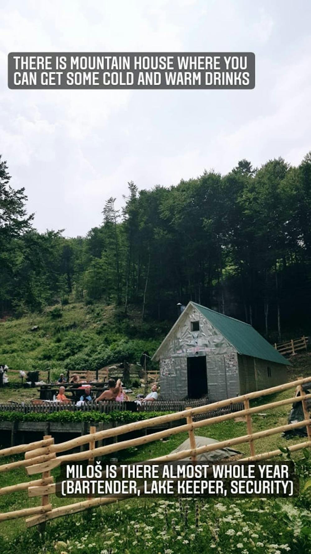
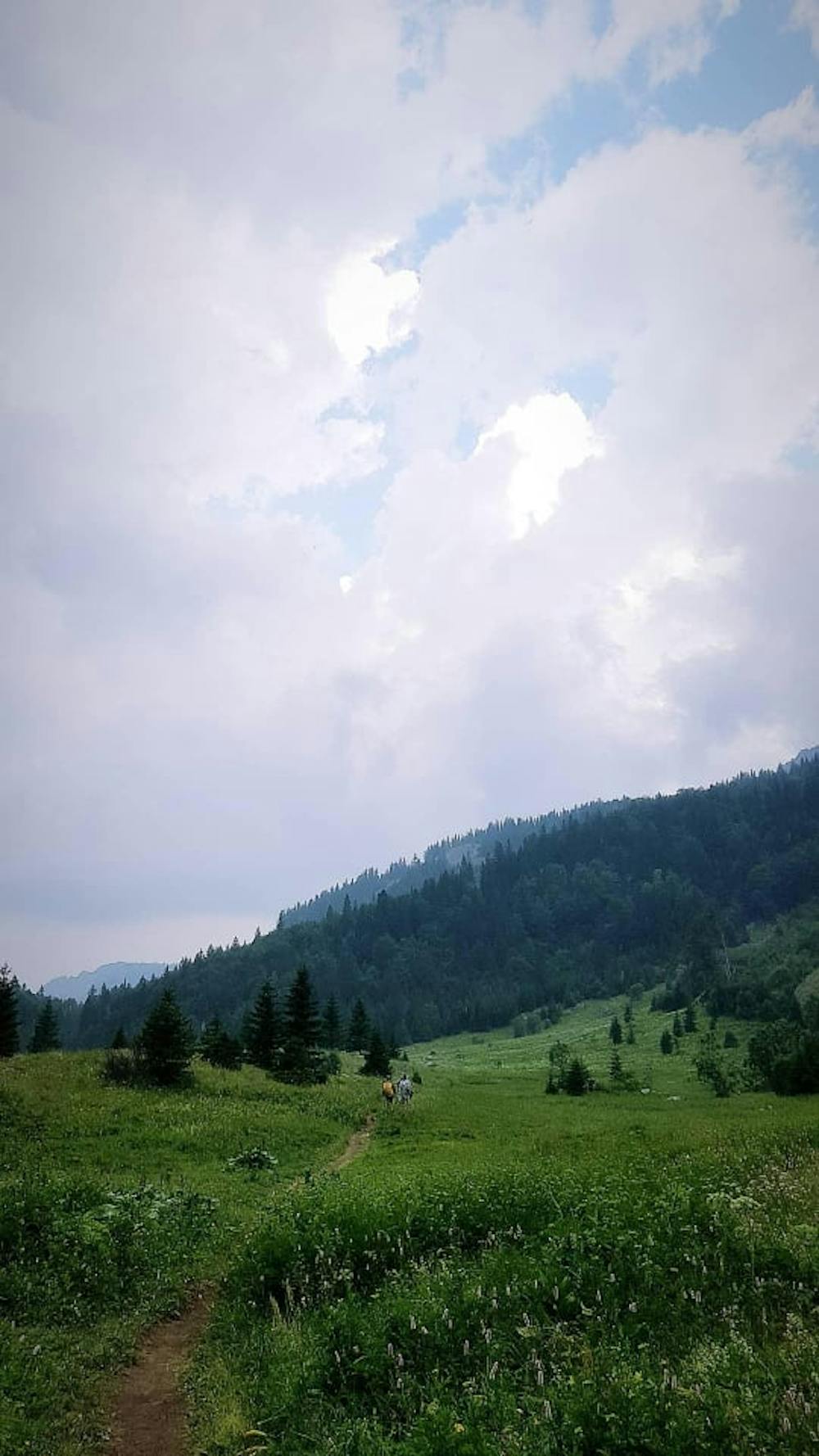
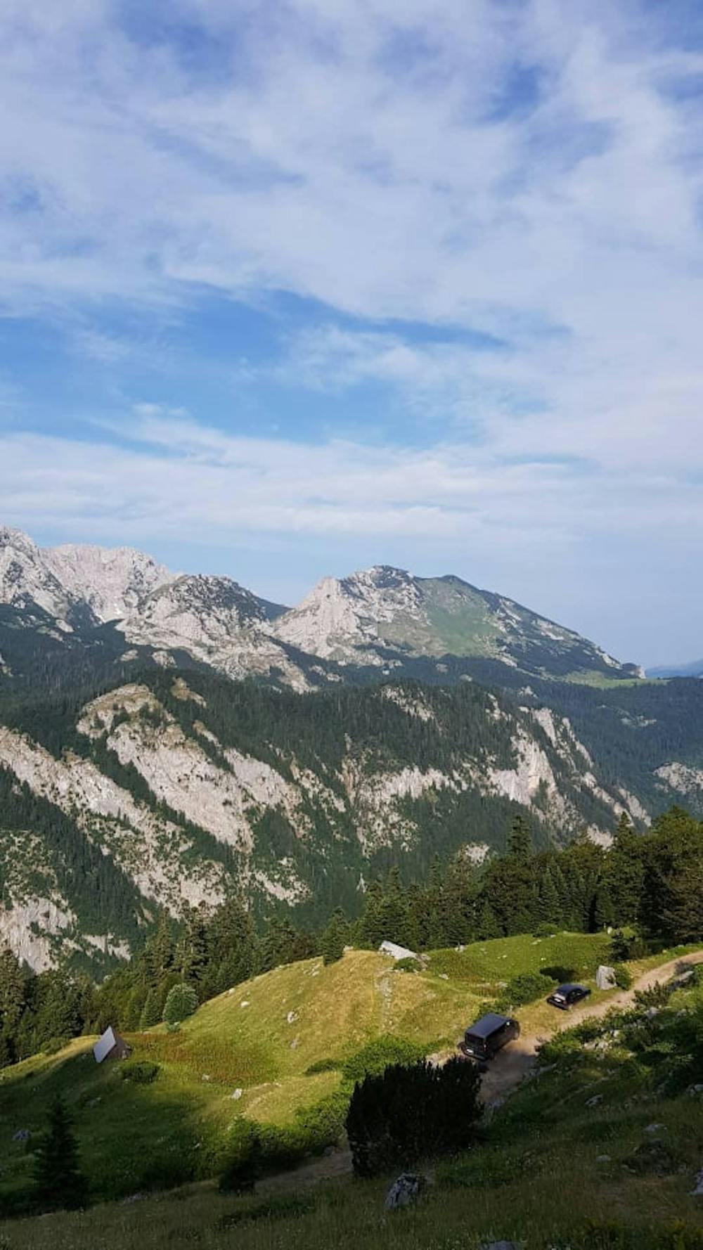
Saturday 10.07.2021, activities start at 07:30 pm. From the location of the Prevoj (1659 mnv) starting points of hiking, 7-member group of mountaineers PD ′′ Konjuh ′′ Tuzla: Mirha Kologlija, Alen Kologlija, Admira Tupković, Emir Tupković, Samir Dzafić, Omer Saracević, and Dzevad Bektasević, it is successful At 10:20 o'clock the highest peak of Bosnia and Herzegovina. Moving on the marked hiking trail, north climb, the hardest and most demanding direction of climbing Bosnian peak Maglić (2386 mnv). The track is half-alpinists and extremely physically demanding. The path at the beginning passes through the forest, then the stone part is overturned by the ditch, towards the foot of Maglic, further through the rocky part to the entrance to the Ferrata, continues with the cello to the top of Bosnian Maglic (2386 mnv). Weather conditions without precipitation allowed longer rest, but with the presence of fog, the enjoyment of the views of the neighboring mountains was denied. Continuation of moving on the reef towards the South East to the Montenegrin peak Maglic - (2388 mnv). After short detention, further, the movement was continued south across the Carov Do and Colorful Lastva to Trnovacko Lake. (1517 mnv), where we come at about 15 hours. Rest and socializing with participants from other societies, until 16 pm. The movement from Lake Trnovacko continued north through Suho Lake (1377 mnv) to Prevoj, starting point, at which all participants are coming at 18:00 hours. The track is about 12,5 km long, with a height difference of about 1100 mnv.
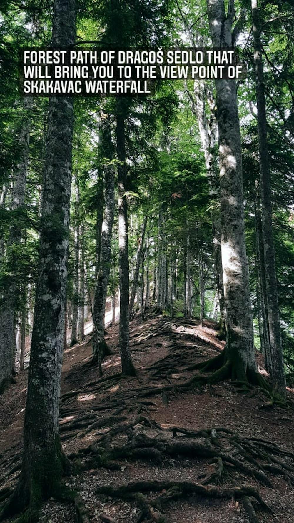
Sunday 11.07.2021, at 8:00 o'clock the start of activities, cleaning equipment and leaving the location of the Prevoj, driving to NP Sutjeska, to the location Dragoš Sedlo (1280 mnv).
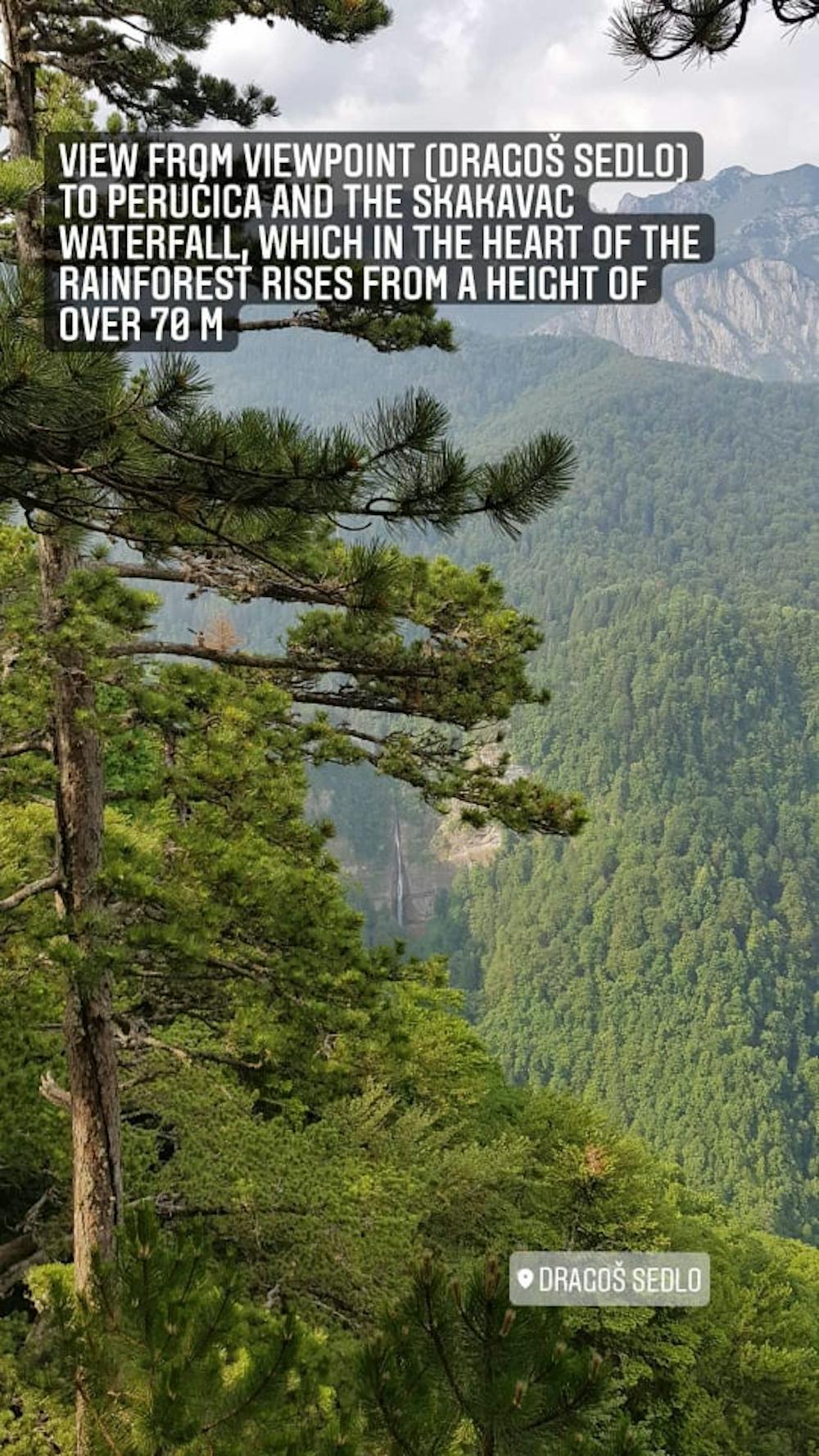
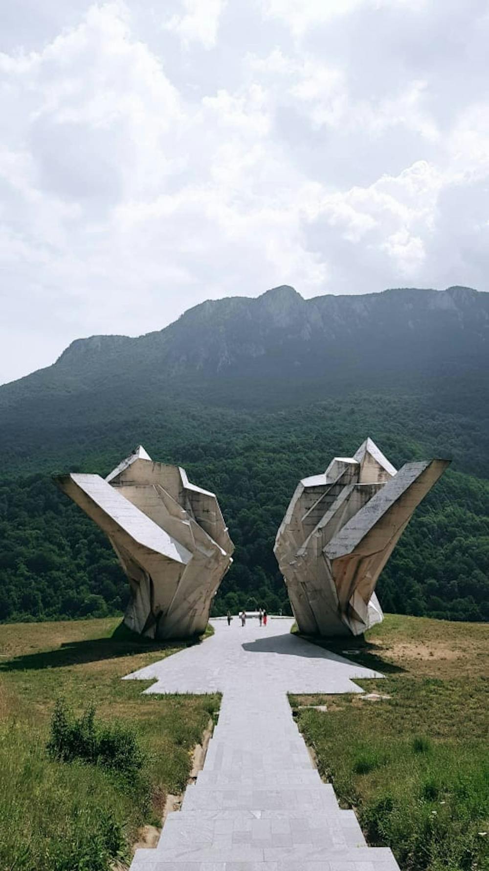
Upon arrival to the sightseeing, the threat of rain and extremely high tax of 1000 KM per group for entering the Perućica rainforest, are reasons for giving up from leaving to the waterfall Skakavac. We are visiting a nearby viewpoint (1310 mnv), which provides a magnificent view of the rainforest and the waterfall Skakavac. As an alternative, a visit to the location of Tjentiste, a monument from NOR is planned. We continue the movement in the direction of Tjentište - Foča - Sarajevo - Donji Bakići - Olovo Municipality, where we arrive at about 16:00 hours and tour the location of the ′′Obeliks" stem, a lonely stone monument high of 4 meters, which originates from the 14th century.
After driving, we safely arrive around 20 hours in Tuzla. Participants of the trip had the opportunity to enjoy the beauties that Mount Maglic owns. Well marked and well-groomed hiking trails, moody and psychophysically prepared participants showed a high level of team approach and respect. Participants fulfilled expectations were delighted with the natural beauties possessed by Bosnia and Herzegovina. Many thanks to friends from PAOK Banja Luka, for their hospitality.
Difficulty
Moderate
Hiking along trails with some uneven terrain and small hills. Small rocks and roots may be present.
Medium Exposure

The trail contains some obstacles such as outcroppings and rock which could cause injury.
Remoteness
Away from help but easily accessed.
Best time to visit
Features
- Summit Hike
- Wild flowers
- Water features