Organs Range National Park Traverse
The most beautiful traverse in Brazil
Hiking Severe
- Distance
- 40 km
- Ascent
- 2.8 km
- Descent
- 2.9 km
- Duration
- 1 day +
- Low Point
- 987 m
- High Point
- 2.2 km
- Gradient
- 15˚

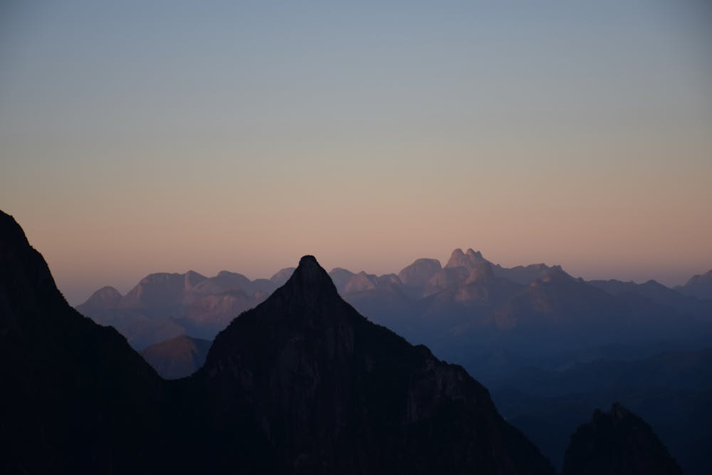
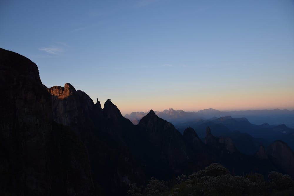
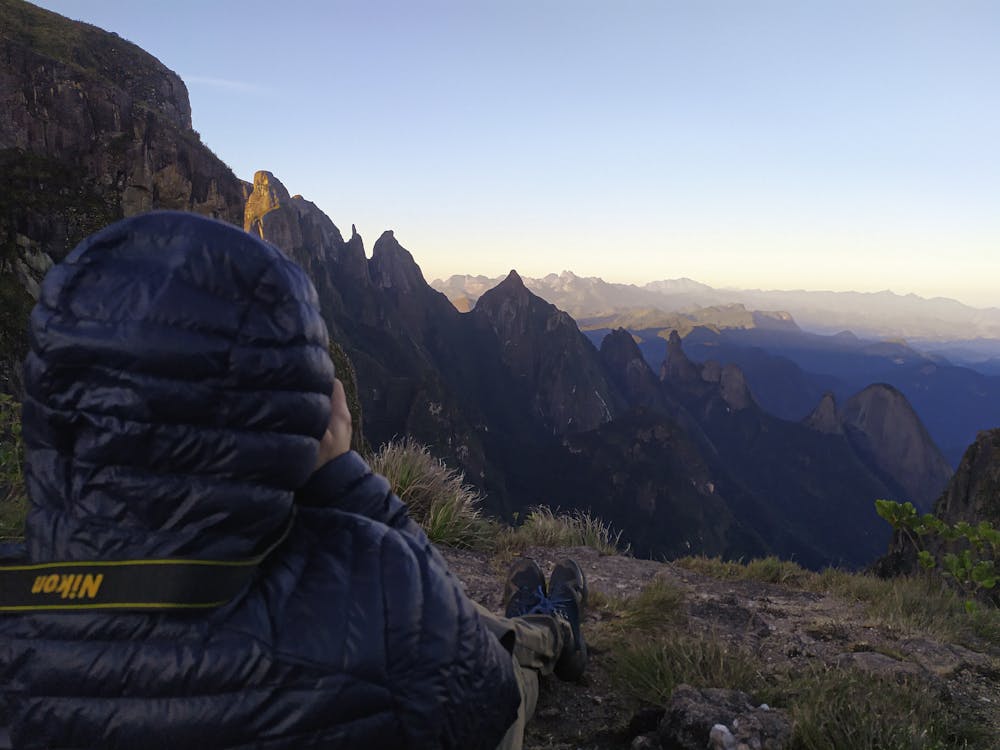
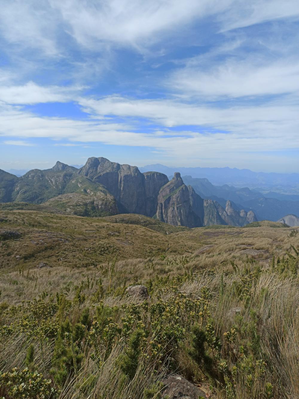
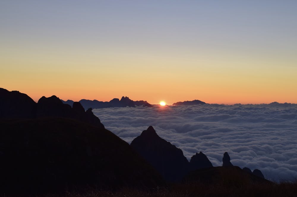
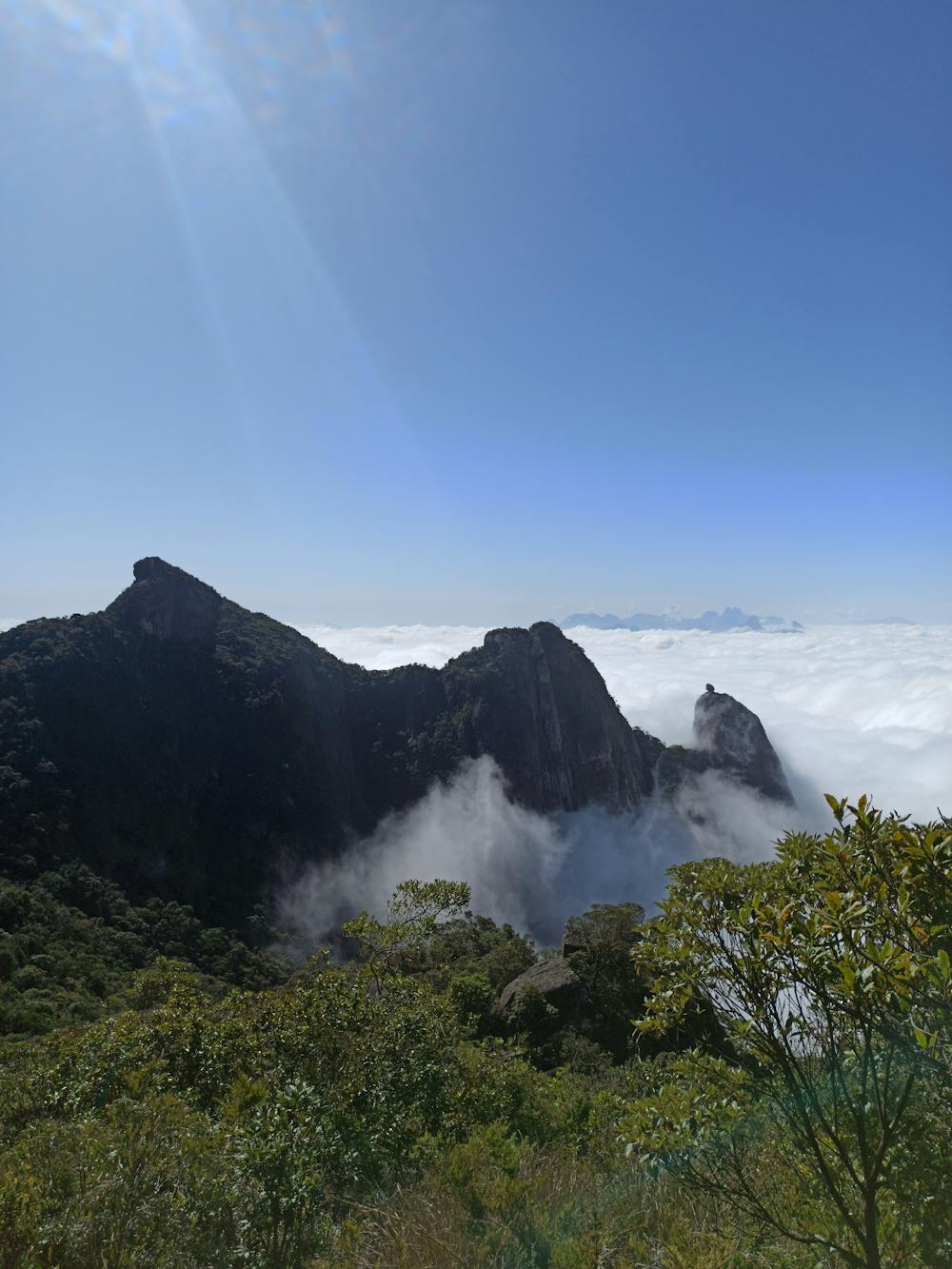
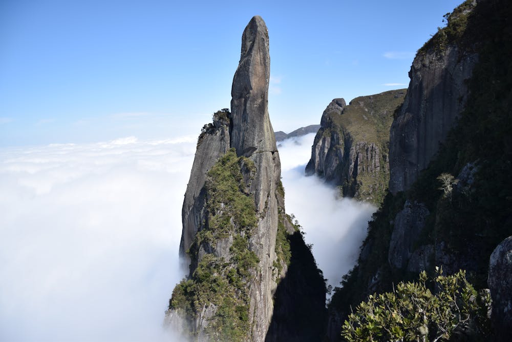
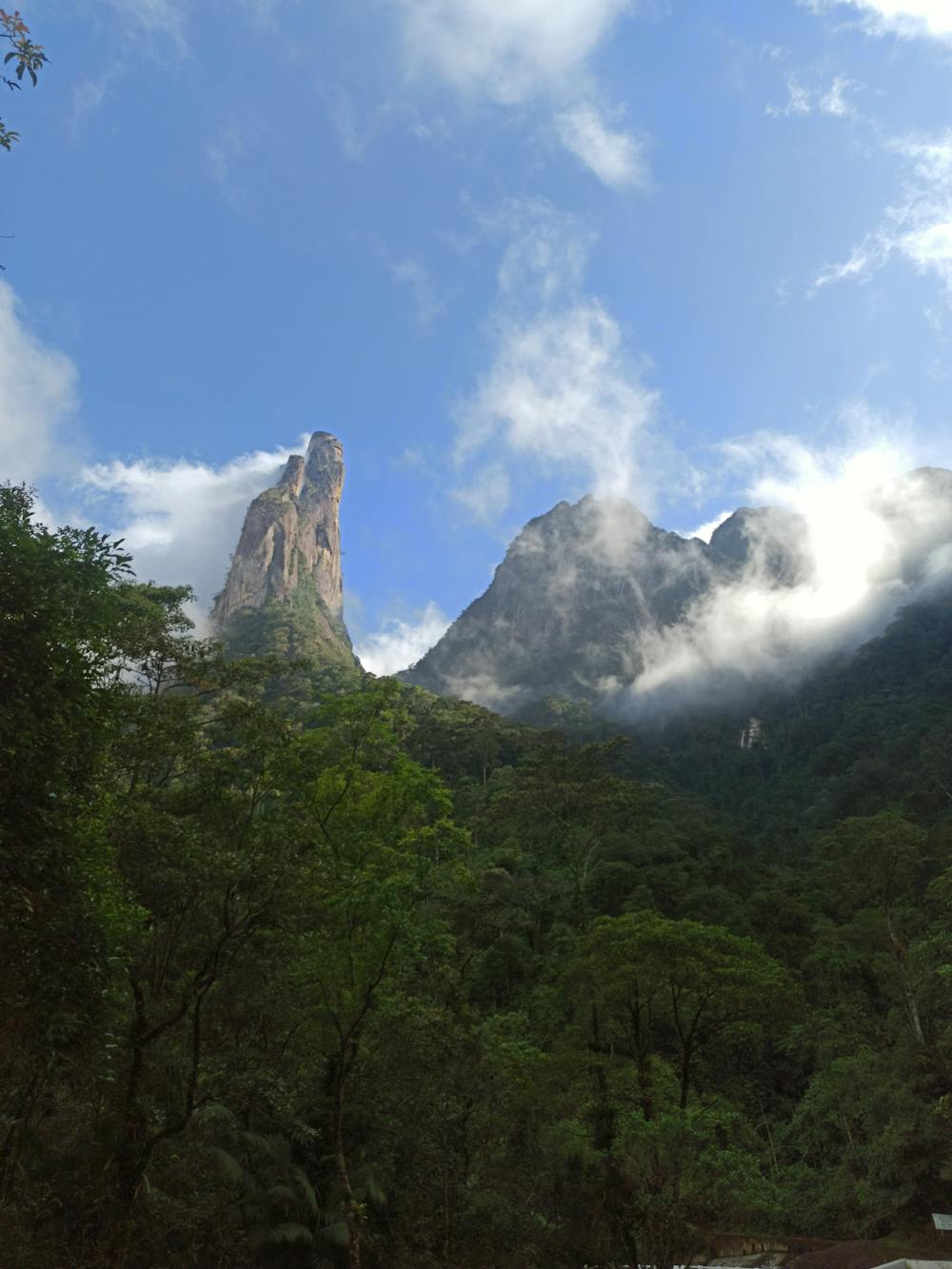
Serra dos Órgãos National Park is a national park in the state of Rio de Janeiro, Brazil. It protects the Serra dos Órgãos mountain range and the water sources in the range. It was the third national park to be created in Brazil. And for many, it is the most beautiful traverse in Brazil.
- •
- •
- •
- •
- •
- •
- •
- •
- •
- •
Description
The climate is tropical super humid, with 80% to 90% relative humidity caused by moist air from the Atlantic most of the year. Average temperatures range from 13 to 23 °C (55 to 73 °F), but may reach 38 °C (100 °F) and may fall below freezing in the highest parts. The average rainfall is 1,700 to 3,600 millimetres (67 to 142 in), with more rain in the summer (December to March) and a dry season in the winter from June to August. The southeast side facing the ocean receives more rain than the northwest side.
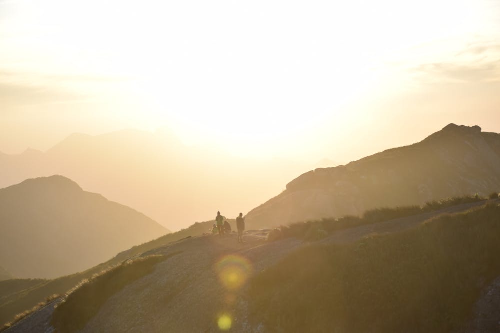
This trail was done in three days, but it is possible to do it in one or two, but you'd miss some highlights. You can do this trail in both directions.
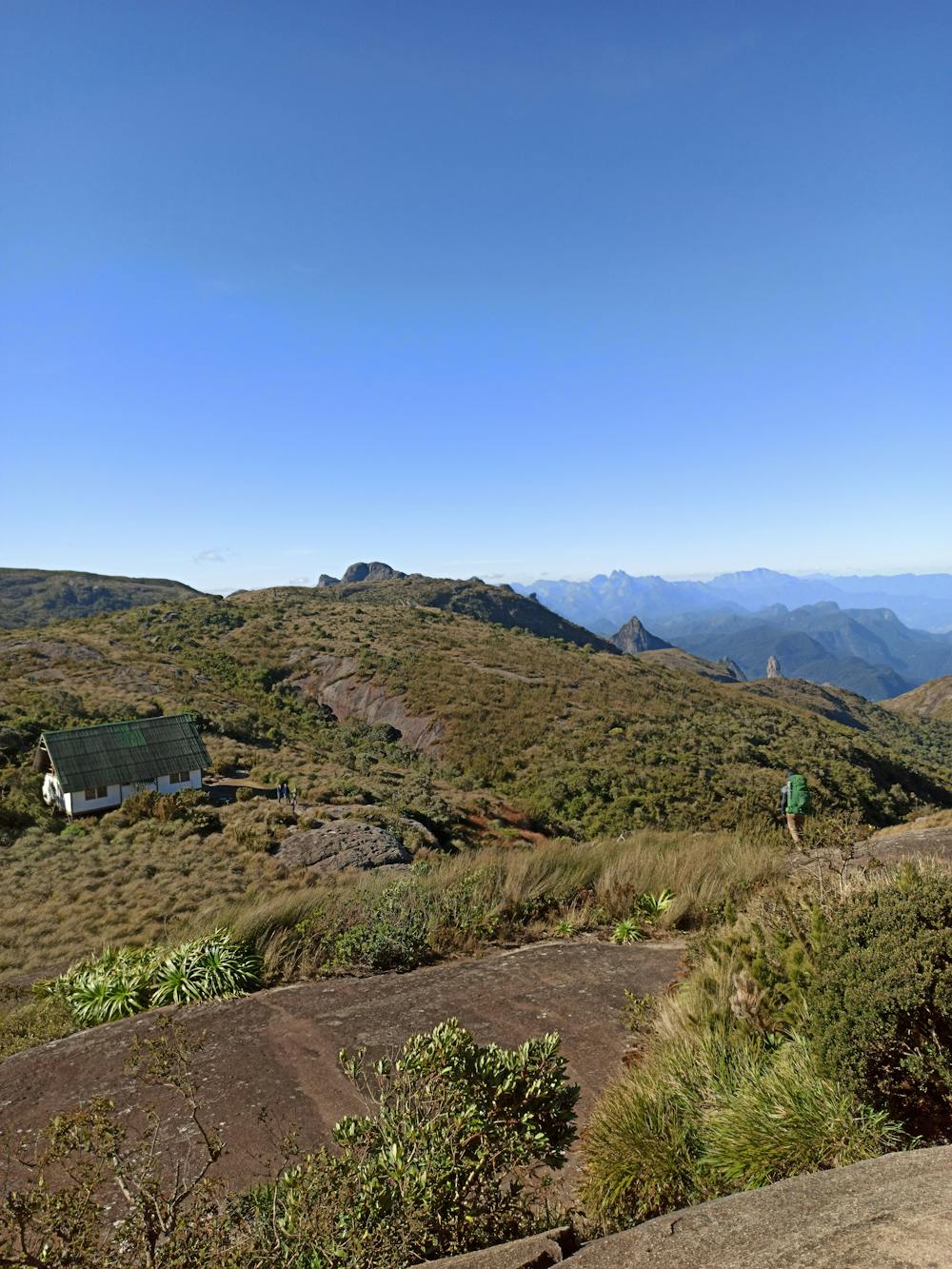
There are two mountain huts, but they for the exclusive use of park rangers. There are two campsites that can be booked in advance on the Park website.
Difficulty
Severe
Hiking challenging trails where simple scrambling, with the occasional use of the hands, is a distinct possibility. The trails are often filled with all manner of obstacles both small and large, and the hills are very steep. Obstacles and challenges are often unexpected and can be unpredictable.
High Exposure

Some trail sections have exposed ledges or steep ascents/descents where falling could cause serious injury.
Remoteness
Little chance of being seen or helped in case of an accident.
Best time to visit
Features
- Wildlife
- Picturesque
- Summit Hike
- Wild flowers