Todorka peak
Bansko
todorka to hvoinati
Ski Touring Moderate
- Distance
- 10 km
- Ascent
- 780 m
- Descent
- 1.7 km
- Duration
- 4-5 hrs
- Low Point
- 1.6 km
- High Point
- 2.7 km
- Gradient
- 39˚

This is a popular ski touring route which is generally considered to be moderate. It's very remote, it features medium exposure (e2) and is typically done between February and April. From a low point of 1.6 km to the maximum altitude of 2.7 km, the route covers 10 km, 780 vertical metres of ascent and 1698 vertical metres of descent. You'll need skins and crampons to complete it safely.
Description
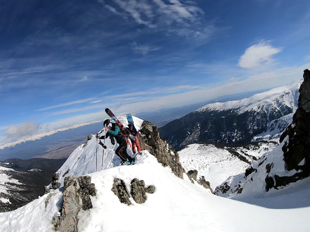
From the top lift, better to have crampon to climb the todorka peak. It's a bit narrow on the edge. Then, it's all easy.
Difficulty
Moderate
Slopes become slightly steeper at around 25-30 degrees.
Medium Exposure (E2)

As well as the slope itself, there are some obstacles (such as rock outcrops) which could aggravate injury.
Remoteness

Little chance of being seen or helped in case of an accident.
Best time to visit
Features
- Face
Equipment required
- Skins
- Crampons