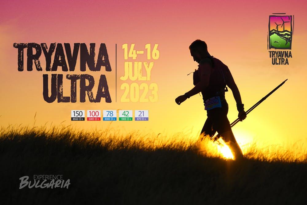
Tryavna Ultra 100 km
The 100k course of the famous trail running race in Bulgaria
Trail Running Difficult
- Distance
- 97 km
- Ascent
- 3.8 km
- Descent
- 3.8 km
- Duration
- 1 day +
- Low Point
- 431 m
- High Point
- 1.5 km
- Gradient
- 10˚

This is a popular trail running route which is generally considered to be difficult. It's remote, it features medium exposure and is typically done in undefined. From a low point of 431 m to the maximum altitude of 1.5 km, the route covers 97 km, 3827 vertical metres of ascent and 3826 vertical metres of descent.
Description
Tryavna ultra is a famous trail running race that takes place in the Stara Planina mountain (the Balkan). The start is in Tryavna (or a nearby village for 42k distance). There are several distances - 21, 42, 78, 100 and 150k. This is the track for the second longest - 100k.
Difficulty
Difficult
Medium Exposure

The trail contains some obstacles such as outcroppings and rock which could cause injury.
Remoteness
Away from help but easily accessed.