#201 Lokvata - Slaveevi skali - Velingrad
Enduro trail on the slopes of Alabak ridge, near Velingrad
Mountain Biking Difficult
- Distance
- 13 km
- Ascent
- 206 m
- Descent
- 988 m
- Duration
- 0-1 hrs
- Low Point
- 748 m
- High Point
- 1.6 km
- Gradient
- 11˚

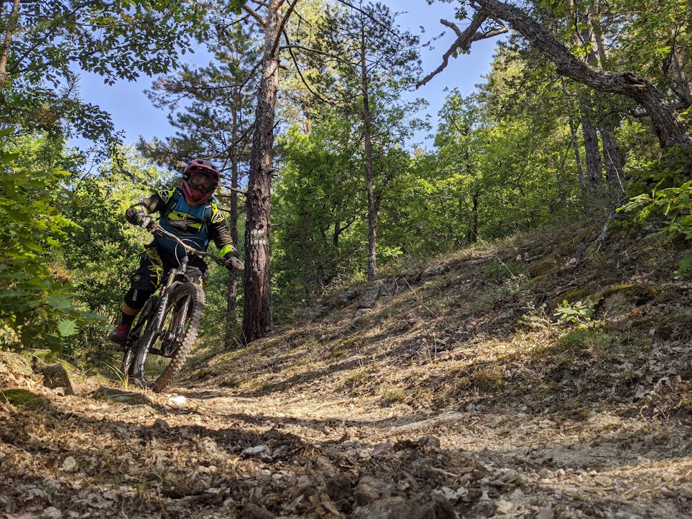
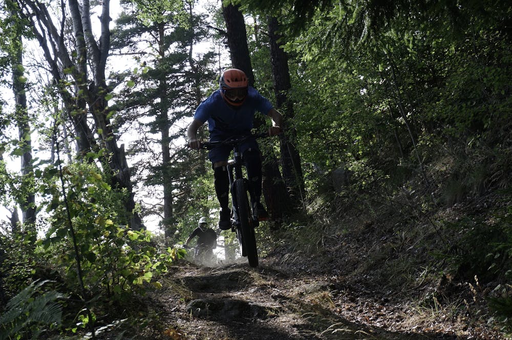
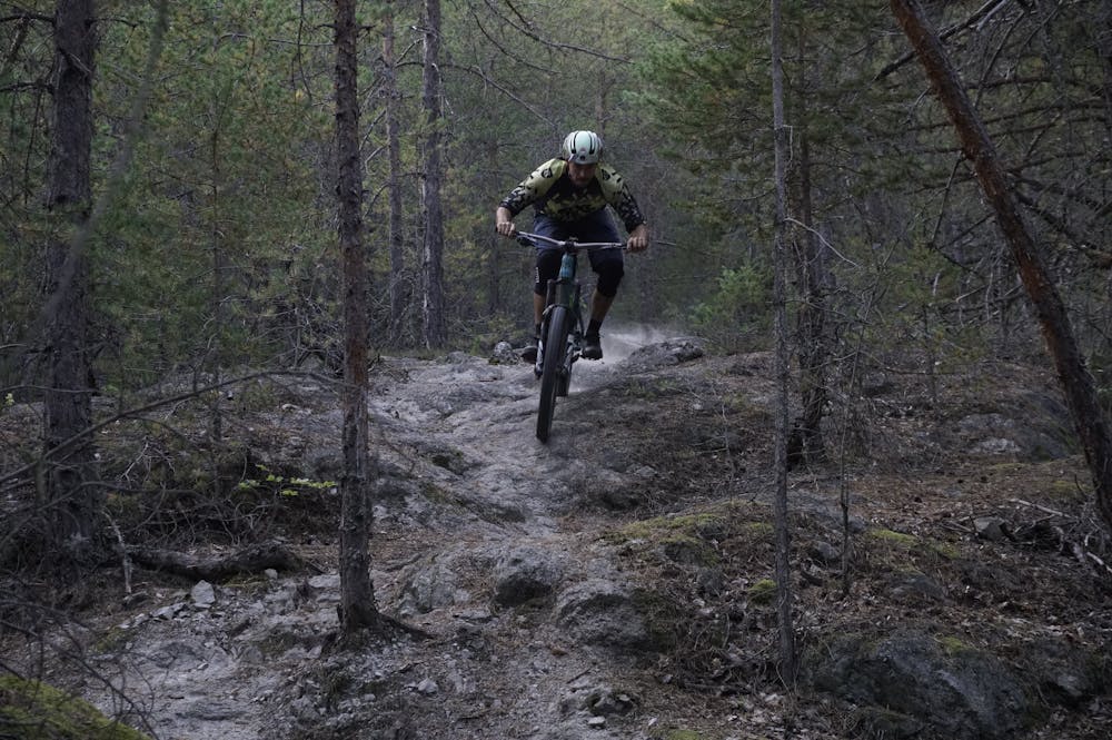
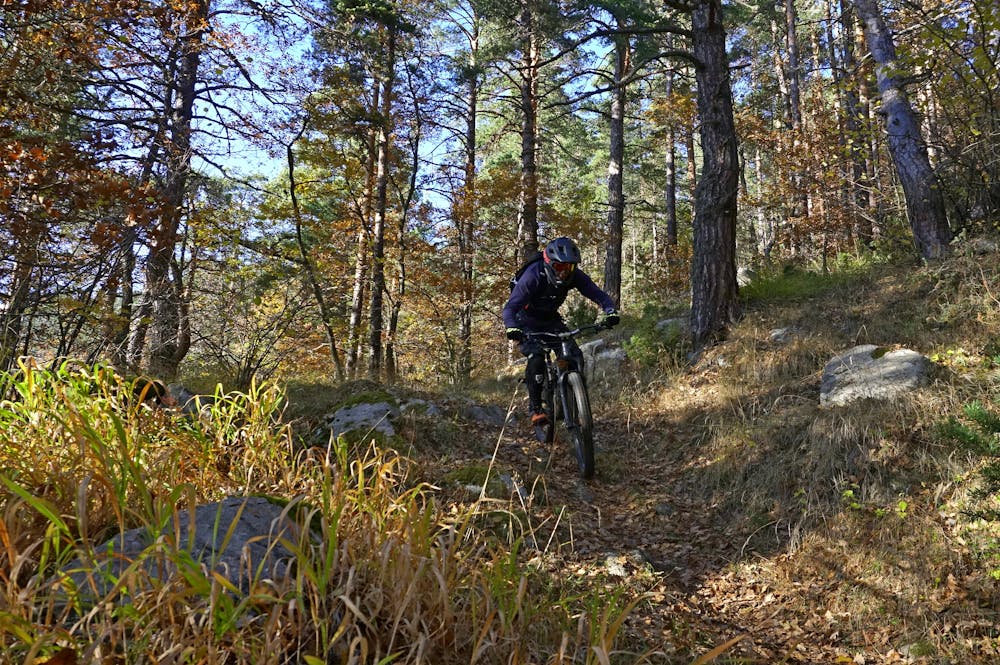
Segment №201 starts from the area Shamaka, where you can go on segment №200 from Yundola or from Peeva Polyana. At the beginning you drive on a wide forest road, which crosses a wide flat meadow and begins to gradually climb to the Lokvata area. The distance there is about 1.5 km, and for this distance about 60 meters of displacement are overcome. The Lokvata area is a flat meadow, located at about 1600 m above sea level. at the western foot of Chernovets peak. There is a wooden shelter on the meadow, which can be used if needed. From the shelter the segment continues in an easterly direction, at the beginning a forest road is followed for about 500 m. After the end of the forest road the actual descent begins. From the beginning, the trail moves with a slight downward slope, cutting the slopes of Chernovets. After about a kilometer, the slope increases and the path turns into a tangle of eroded gutters that take you to a forest road. Continue briefly down this path, watching carefully for a turnoff to the right. After this detour, a nice path starts again, which takes you to the Samara saddle. Here the segment continues in an easterly direction, following a short ascent along the northern slope of the peak of the same name. After 500 m a new fun part of the trail begins and along it you reach the area of Slaveevi skali, where you have to be careful about a sharp turn to the left. The place is marked with signs, but since it is usually passed at high speed, it is possible to miss it. After this detour there is a new fun section that takes you to a fork in front of the rocks. If you decide to visit Slaveevi skali (which is definitely worth it) it is necessary at this fork to turn right and after 2 minutes you are at the rock phenomenon. Segment №201 continues to the left of this fork and follows almost two kilometers of varied trail. On this path you come out on the forest road Velingrad - Samovoditsa (segment №210), where you have to turn right. After about 500 meters you reach the area of Bulin Chair, where you cross the clearing with a high voltage transmission line. Here it is important to turn right and then immediately left to catch the continuation of the segment. On the right there is a small shelter that can shelter you in bad weather. A short steep section follows, after which the path descends to the gorge and finally turns left to the area of the Pulmonary Hospital, from where you continue east to reach Velingrad.
- •
- •
- •
- •
Difficulty
Difficult
Mostly stable trail tread with some variability featuring larger and more unavoidable obstacles that may include, but not be limited to: bigger stones, roots, steps, and narrow curves. Compared to lower intermediate, technical difficulty is more advanced and grades of slopes are steeper. Ideal for upper intermediate riders.
Medium Exposure

The trail contains some obstacles such as outcroppings and rock which could cause injury.
Remoteness
Away from help but easily accessed.
Best time to visit
Features
- Flow
- Technical
- Picturesque
- Singletrack
- In the forest
- Wet-weather friendly
- Drops
- Jumps