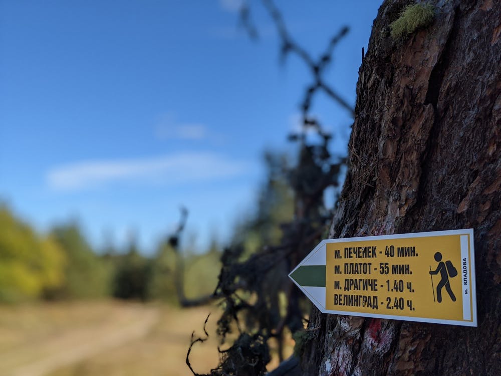
#204 Pechenek - Dragiche - Velingrad
Fun ride down the slopes of Alabak near Velingrad
Mountain Biking Difficult
- Distance
- 6.8 km
- Ascent
- 8 m
- Descent
- 852 m
- Duration
- 0-1 hrs
- Low Point
- 787 m
- High Point
- 1.6 km
- Gradient
- 12˚

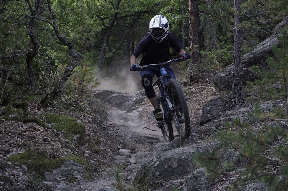
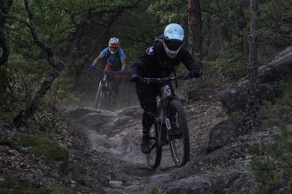
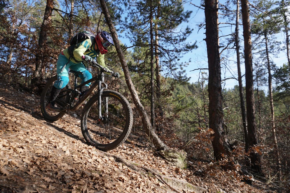
Segment №204 is a descent on the southern slopes of Elin Vrah. It is reached by a segment №200 from Peeva Polyana, which is located about 2 km or from the resort Yundola, separated by 13 km to the west. The starting point of the segment is a characteristic meadow, on which the forest road between Peeva Polyana and Kladova (№200) makes a sharp turn in a northerly direction. At the beginning there is a wide path in the southern direction, and after about 200-300 meters there is a small fork, which you should continue on the path to the right. Unfortunately, this section is occupied by logging and therefore is a deeply eroded gutter, which descends to a forest road. Here you turn right on the road and very soon you reach the area Pecheneshka Skala, where you need to make a sharp left turn. There is a fun section of path along the pine plantations and after about 500-600 meters you go out into an open place called Plateau. From here there is a nice view of the Chepino valley and the surrounding hills. To continue you need to cross the forest road and go around the wooden fence to the east. After this point the path enters an oak forest and begins to cut the slopes of Elin Vrah until you reach an important crossroads, where segments 204 and 206, 210 intersect. Segment №204 continues in an easterly direction, passes through a characteristic pine plantation and enters a very pleasant and technical area, covered with many round stones and rocks. The trail continues in this spirit until it reaches a ridge descending from Elin peak. From this point down there are several variations of the trail and each of them offers pleasant emotions. Eventually you reach the upper end of wide meadows, where it is possible to place an electric shepherd during the summer months. You cross the meadows and go out on an asphalt street, on which you descend to the left to the Kamenitza district.
- •
- •
- •
- •
- •
- •
- •
Difficulty
Difficult
Mostly stable trail tread with some variability featuring larger and more unavoidable obstacles that may include, but not be limited to: bigger stones, roots, steps, and narrow curves. Compared to lower intermediate, technical difficulty is more advanced and grades of slopes are steeper. Ideal for upper intermediate riders.
Medium Exposure

The trail contains some obstacles such as outcroppings and rock which could cause injury.
Remoteness
Away from help but easily accessed.
Best time to visit
Features
- Flow
- Technical
- Singletrack
- In the forest
- Wet-weather friendly
- Drops
- Jumps
- Roots
- Rock Slabs