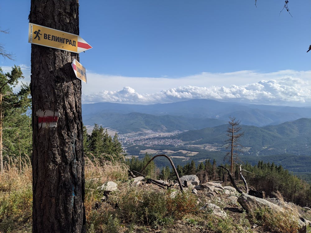
#205 Mt Elin vrah - Gradot - Velingrad
The steepest and driest single track in the vicinity of Velingrad
Mountain Biking Difficult
- Distance
- 4.2 km
- Ascent
- 0 m
- Descent
- 766 m
- Duration
- 0-1 hrs
- Low Point
- 787 m
- High Point
- 1.6 km
- Gradient
- 16˚

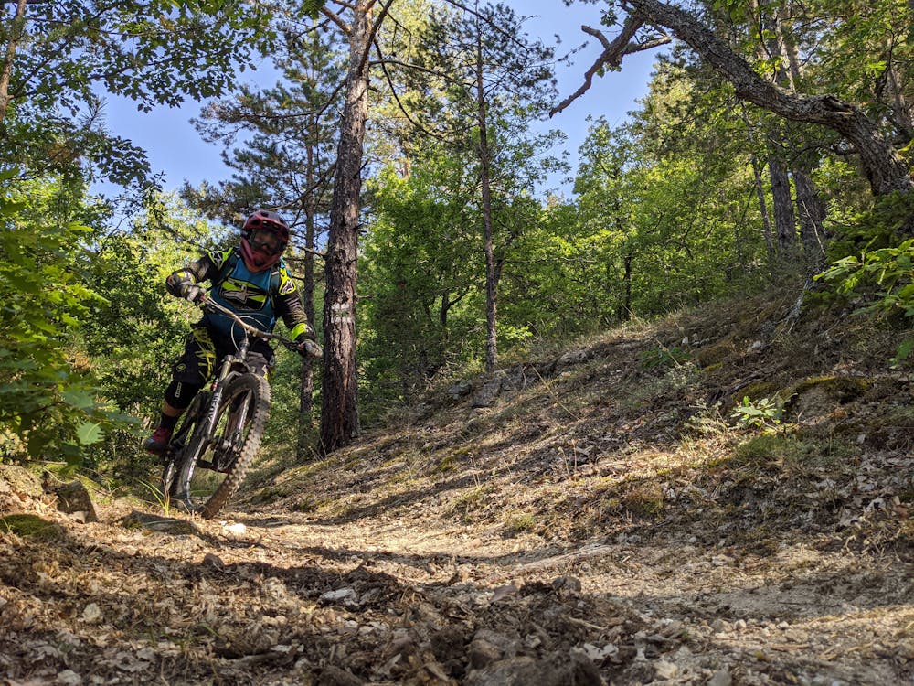
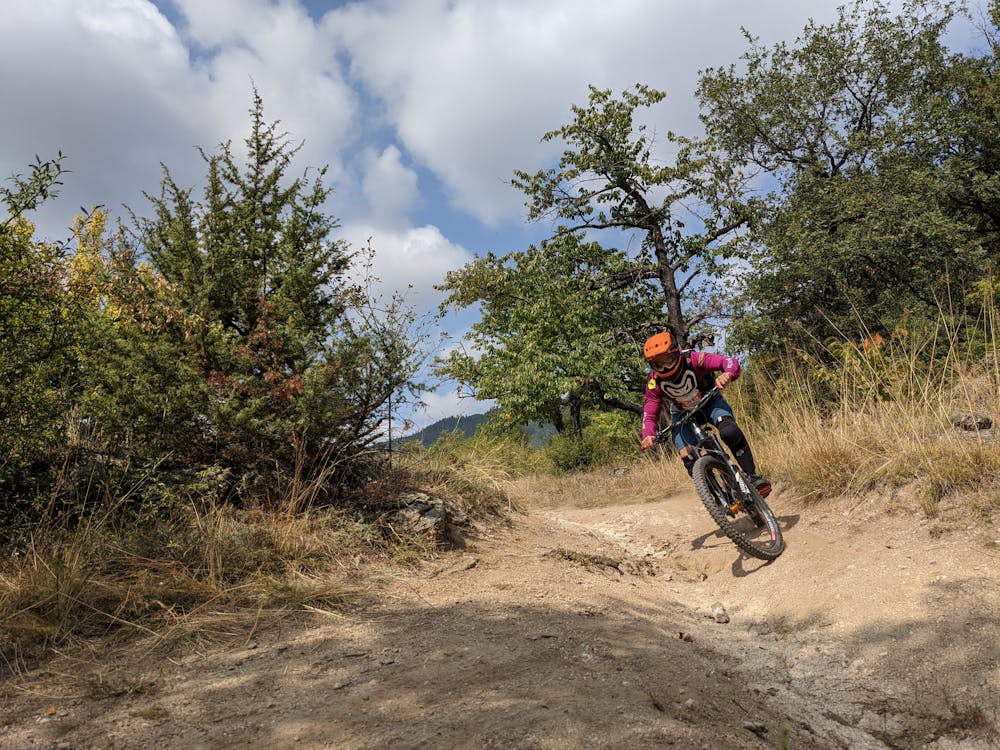
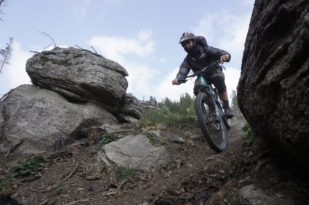
Segment #205 starts from the top of Mt Elin vrah (1546 m) and gets you down to Velingrad (800 m) in less then 5 km. To get to the starting point you must follow # 250 and #207 if you come riding or take a transfer to the beginning of #207. The trail is quite steep and the soil is sandy, thus becoming quite slippery during the summer months. Enroute you can make a short stop to take a look at the ruins of Gradot - dating from the medieval period. The segment is marked with red triangles.
- •
- •
- •
- •
Difficulty
Difficult
Mostly stable trail tread with some variability featuring larger and more unavoidable obstacles that may include, but not be limited to: bigger stones, roots, steps, and narrow curves. Compared to lower intermediate, technical difficulty is more advanced and grades of slopes are steeper. Ideal for upper intermediate riders.
Medium Exposure

The trail contains some obstacles such as outcroppings and rock which could cause injury.
Remoteness
Away from help but easily accessed.
Best time to visit
Features
- Technical
- Picturesque
- Singletrack
- In the forest
- Wet-weather friendly
- Roots