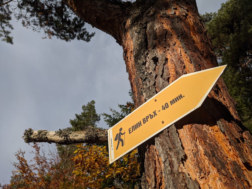
#207 Access to Elin vrah
Short segment connecting #250 with #205, #206 and #211
Mountain Biking Moderate
- Distance
- 1.7 km
- Ascent
- 88 m
- Descent
- 23 m
- Duration
- 0-1 hrs
- Low Point
- 1.5 km
- High Point
- 1.6 km
- Gradient
- 5˚

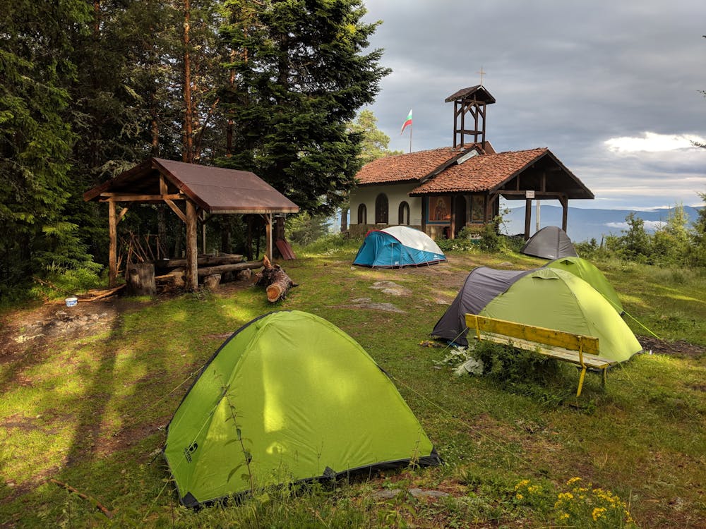
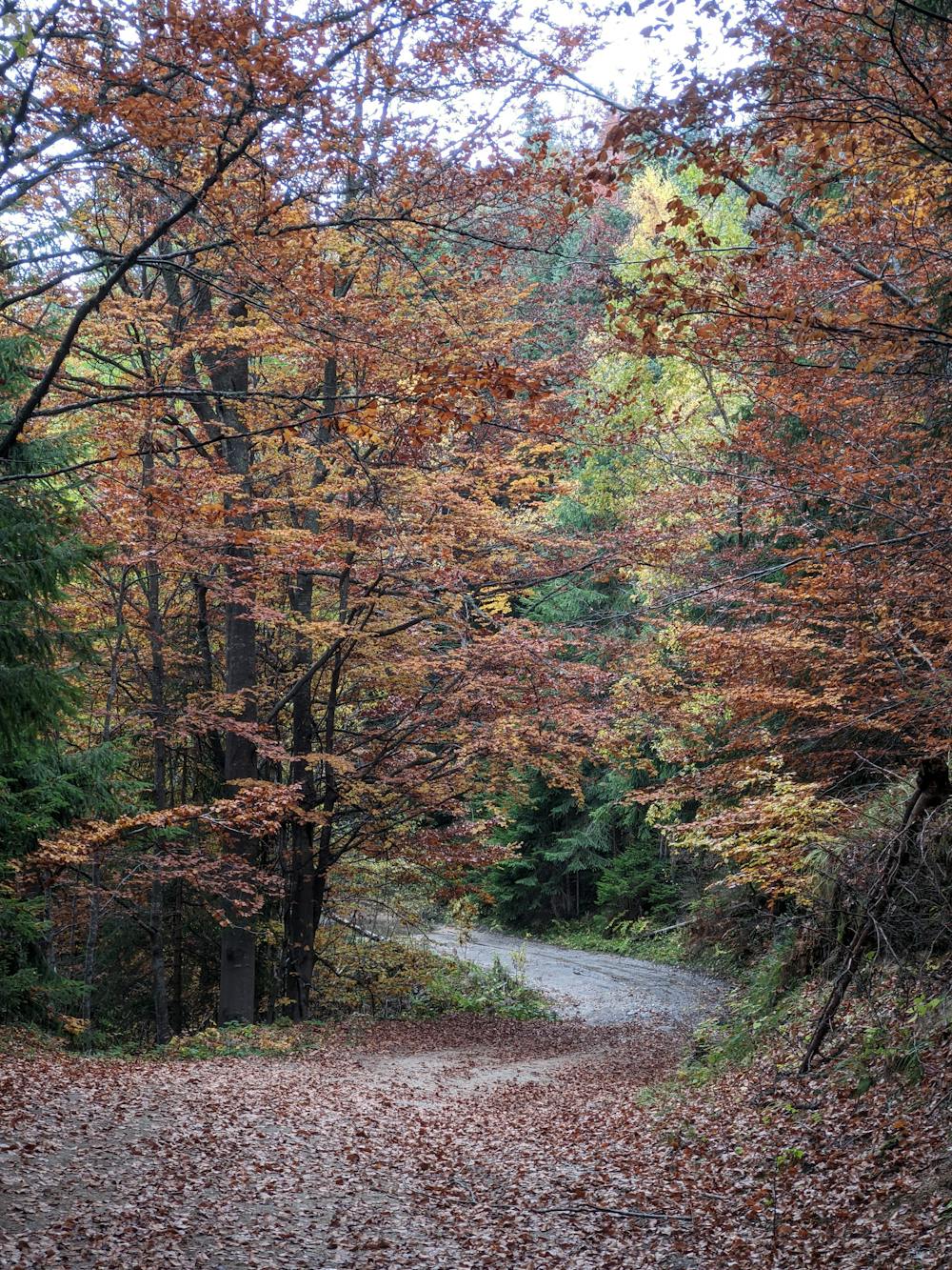
Сегмент 207 служи като връзка между шосето Велинград - Начовото (сегмент № 250) и Елин връх - стартова точка за сегменти с номера 205, 206 и 212. През цялото време 207 следи горски път, който в началото е стръмен, но след първите 300 метра наклона намалява и става почти хоризонтален. След около един километър ще достигнете до разклон, на който 207 продължава в ляво, а пътищата в дясно водят към местността Кладова (през Печенек) или към местността Самоводица (през Платот). Следва кратко изкачване и нов разклон, на който 207 продължава на дясно. Последната отсечка преди върха е доста стръмна и може да се наложи да избутате колелото си. На върха е изграден параклиса “Св. Илия”, а около него е оформена зона за отдих с няколко заслона и чешма с питейна вода. Маркировката е син триъгълник с номер 207.
- •
- •
- •
- •
- •
Description
Segment №207 serves as a connection between the road Velingrad - Nachovoto (segment №250) and Elin Vrah - starting point of segments №205, №206 and (212. A forest road follows all the time, starting with a short but steep climb, after which the slope of the road decreases and becomes almost horizontal. After about one kilometer there is a large fork, on which segment №207 continues to the left, and to the right there are forest roads to Kladova (via Pechenek) and to Samovoditsa (across Plato). A new ascent and a new fork follow, on which №207 continues to the right. The slope increases, but the end of the segment - Elin peak is very close. At the top is the chapel of St. Elijah, and around it is a recreation area with a fountain and shelters.
Difficulty
Moderate
Mostly stable trail tread with some variability, with unavoidable obstacles 8in/20cm tall or less. Other obstacles such as rock gullies and steep sections may exist. Ideal for lower intermediate riders.
Low Exposure

The path is on completely flat land and potential injury is limited to falling over.
Remoteness

Away from help but easily accessed.
Best time to visit
Features
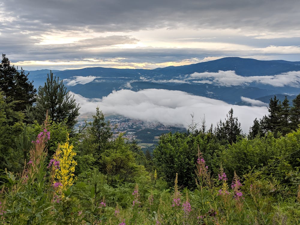
- In the forest