#211 Mt Elin vrah - Achovitsa - Draginovo
Segment #211 is another option to go down from Mt Elin vrah
Mountain Biking Difficult
- Distance
- 6.4 km
- Ascent
- 28 m
- Descent
- 853 m
- Duration
- 0-1 hrs
- Low Point
- 723 m
- High Point
- 1.6 km
- Gradient
- 12˚

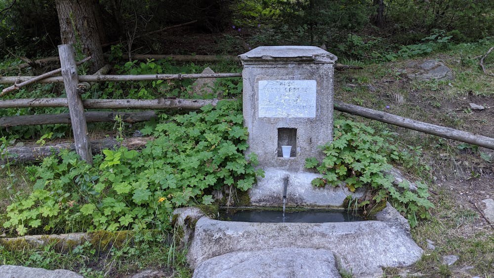
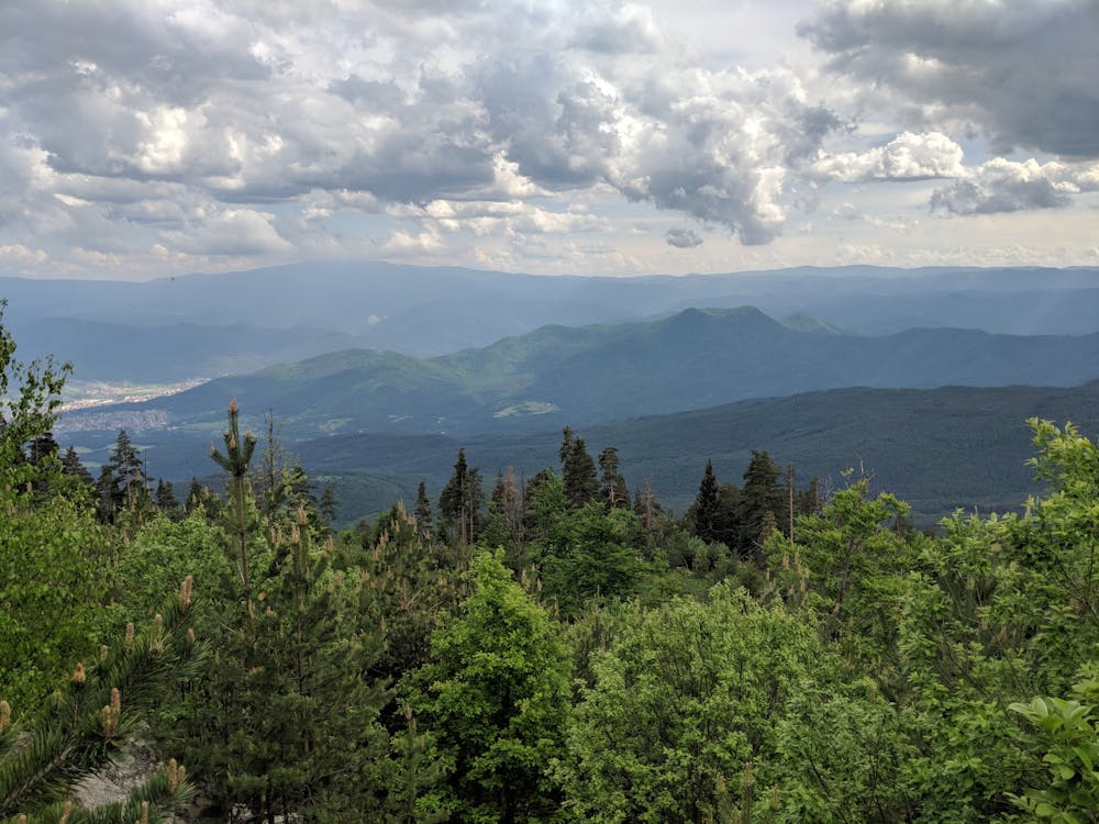
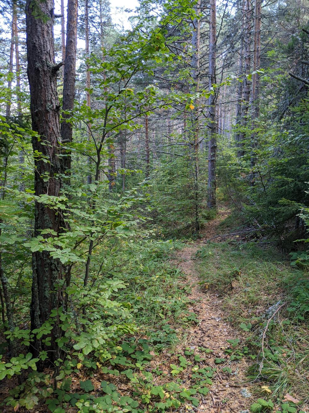
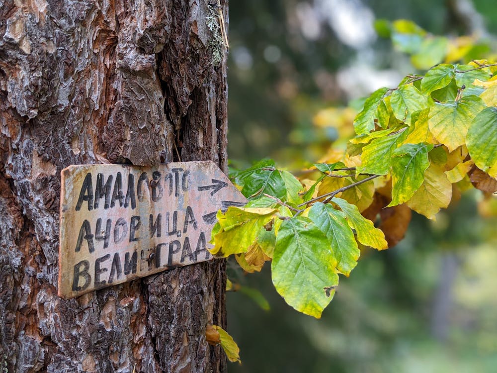
Сегмент № 211 започва от Елин връх и се спуска в източна посока към село Драгиново. За да достигнете началото на сегмента е необходимо да се изкачите от Велинград по сегменти № 250 (възможен е и трансфер с автомобил) и № 207. От параклиса “Св. Илия” пътеката се “шмугва” в гората в източна посока и скоро достигате до местността Амаловото, където има чешмичка с питейна вода. Пътеката продължава в югоизточна посока, докато достигне местността Ачовица, където се пресича със сегмент № 210. От тази точка надолу сегмента следва приятна пътека, която пресича два пъти шосето Велинград - Начовото (внимавайте при пресичането!) и завършва в село Драгиново. Сегмента е маркиран със сини триъгълници с номера 211.
- •
- •
- •
- •
- •
Description
Segment #211 starts from Mt Elin vrah and goes down in eastern direction towards the village of Draginovo. To get to the starting point you should use segments #250 (possible car transfer) and #207. From the chapel of "St Ilias" the narrow path goes down in eastern direction and quickly reaches Amalovoto area where there is a fountain of drinking water. The trail then continues in southeastern direction until it reaches the area of Achovitsa where there is a small section of forest road. In the lower part the segment crosses the asphalt road from Velingrad to Peeva polyana and end up in the village of Draginovo.
Difficulty
Difficult
Mostly stable trail tread with some variability featuring larger and more unavoidable obstacles that may include, but not be limited to: bigger stones, roots, steps, and narrow curves. Compared to lower intermediate, technical difficulty is more advanced and grades of slopes are steeper. Ideal for upper intermediate riders.
Medium Exposure

The trail contains some obstacles such as outcroppings and rock which could cause injury.
Remoteness
Away from help but easily accessed.
Best time to visit
Features
- Flow
- Technical
- Picturesque
- Singletrack
- In the forest
- Wet-weather friendly
- Roots