Шуменско плато '22 - 25 км
Малкото трасе за бягане и колоездене
Mountain Biking Difficult
- Distance
- 26 km
- Ascent
- 694 m
- Descent
- 694 m
- Duration
- 2-3 hrs
- Low Point
- 241 m
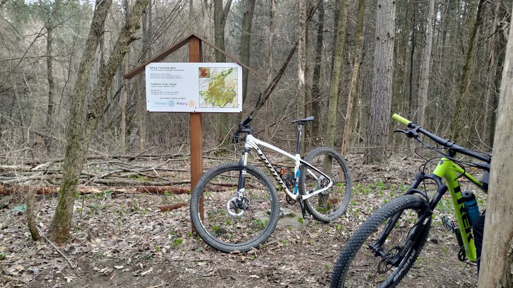
- High Point
- 509 m
- Gradient
- 10˚

This is a popular mountain biking route which is generally considered to be difficult. It's not remote, it features low exposure and is typically done between March and October. From a low point of 241 m to the maximum altitude of 509 m, the route covers 26 km, 694 vertical metres of ascent and 694 vertical metres of descent.
- •
- •
- •
Description
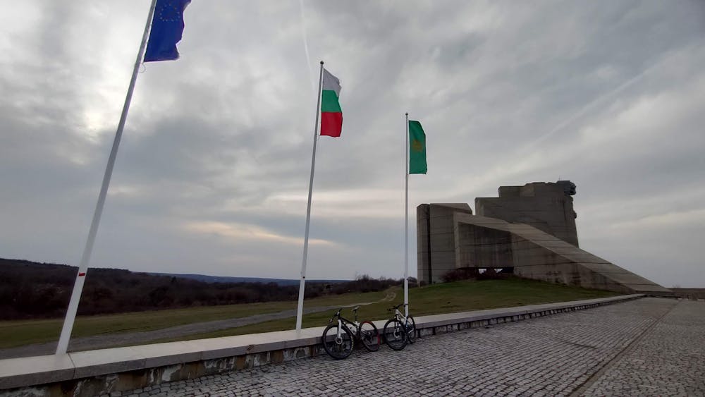
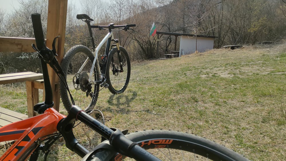
Бързи пътища, красиви сингълтраци, чешми, заслони, скали и гледки.
Difficulty
Difficult
Mostly stable trail tread with some variability featuring larger and more unavoidable obstacles that may include, but not be limited to: bigger stones, roots, steps, and narrow curves. Compared to lower intermediate, technical difficulty is more advanced and grades of slopes are steeper. Ideal for upper intermediate riders.
Low Exposure

The path is on completely flat land and potential injury is limited to falling over.
Remoteness
Close to help in case of emergency.
Best time to visit
Features
- Flow
- Technical
- Picturesque
- Singletrack
- In the forest