Malyovitsa - Seven lakes part 2
Malyovitsa - Seven lakes part 2
Also in Kyustendil, Bulgaria
Hiking Severe
- Distance
- 9.8 km
- Ascent
- 361 m
- Descent
- 689 m
- Duration
- 2-3 hrs
- Low Point
- 1.5 km
- High Point
- 2 km
- Gradient
- 10˚

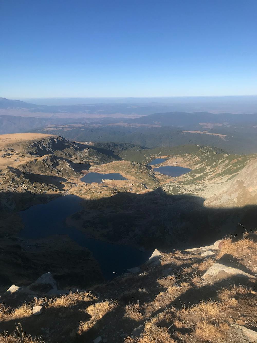
The hike starts at the parking lot and is easy accessible located at some hotels. The beginning of the walk leads you through a valley at a beatiful mountain river up to the Hut „Maleovitsa“. You can also sleep there, if you arrive at the parking spot in the afternoon. They are open the whole year, no matter the snowing conditions, they told me. Afterwards the ascend to the peak, which can be steep sometimes, but the view from the peak is just stunning. From there prepare yourself for a long ridge hike. The terrain is not dangerous, just mild until you reach the descend to the Seven Rila lakes and to Hut „Rilski Esera“. From there you can just take the lift or Walk back to the beginning of your route. The hut is quite Expensive, we paid for one room for 3 persons 120lv. Also the food is not good at all, just for you to keep that in mind.
Difficulty
Severe
Hiking challenging trails where simple scrambling, with the occasional use of the hands, is a distinct possibility. The trails are often filled with all manner of obstacles both small and large, and the hills are very steep. Obstacles and challenges are often unexpected and can be unpredictable.
High Exposure

Some trail sections have exposed ledges or steep ascents/descents where falling could cause serious injury.
Remoteness
Little chance of being seen or helped in case of an accident.
Best time to visit
Features
- Alpine
- Picturesque
- Summit Hike
- Forestry or heavy vegetation