Quick touring and fun freeride
Nice and easy route perfect for a quick day in the mountain
Ski Touring Moderate
- Distance
- 7.5 km
- Ascent
- 711 m
- Descent
- 709 m
- Duration
- 3-4 hrs
- Low Point
- 1.7 km
- High Point
- 2.4 km
- Gradient
- 33˚

Start at the Malyovitsa resort. One can park the car in the main parking spot at Central Mountain School (ЦПШ Мальовица) or next to Malyovitsa Hotel.
- •
- •
- •
- •
- •
- •
Description
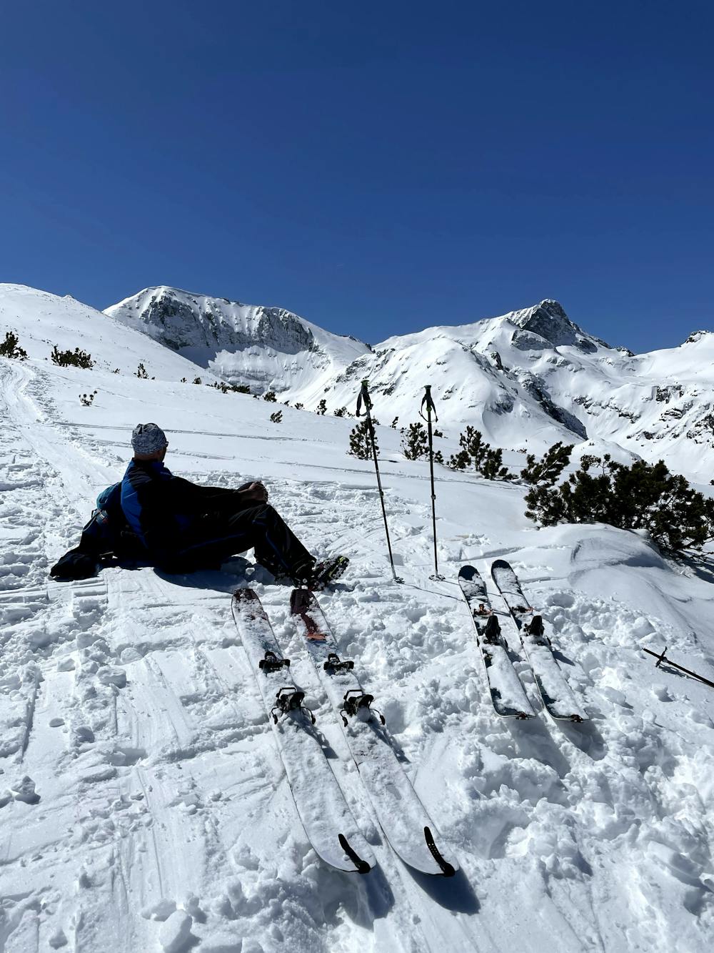
Skin up and start ascending the Razhdavitsa ridge. You can choose to go up: either using the ski slope next to the drag lift at the center square, or left from the hotel Malyovitsa you go up a marked trail between the trees for no more than 15 minutes while you reach the lower station of drag lift Razhdavitsa.
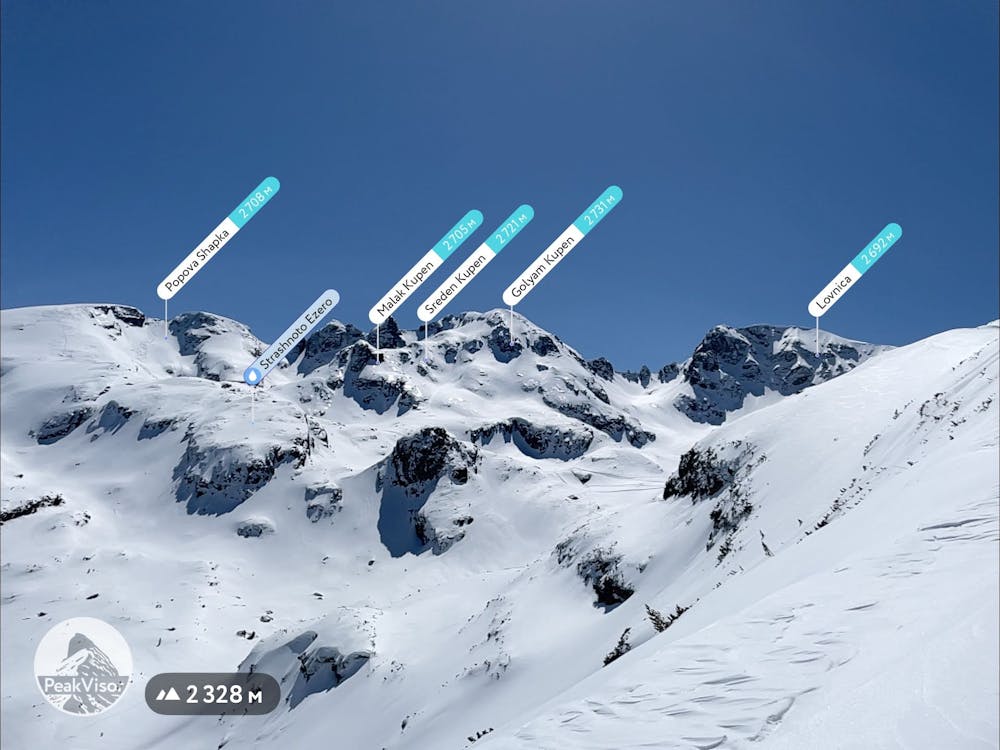
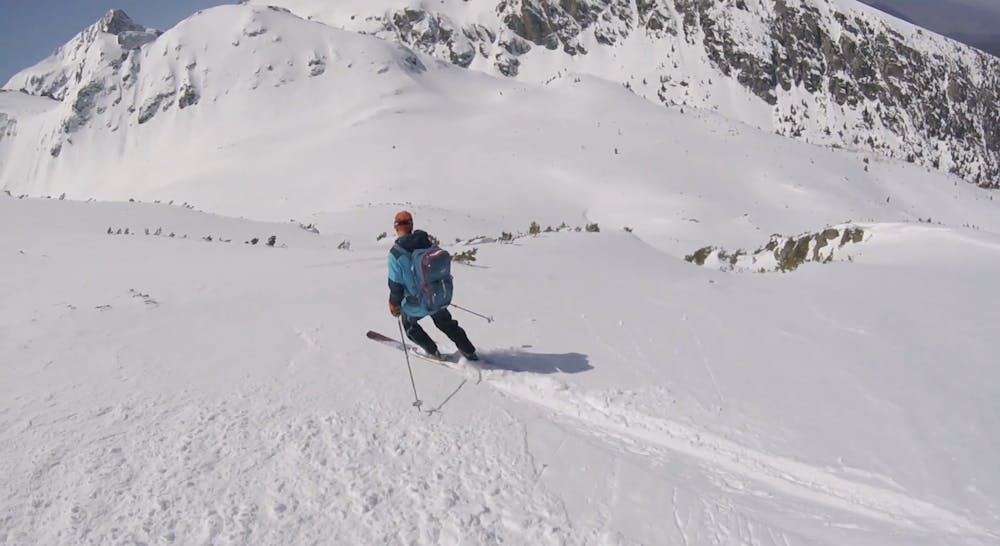
Both ways lead up to the end of slope and above the tree line, then you turn right (south) and follow up the ridge until the highest point at 2400 m. Usually the ascend takes around 2 hours tops.
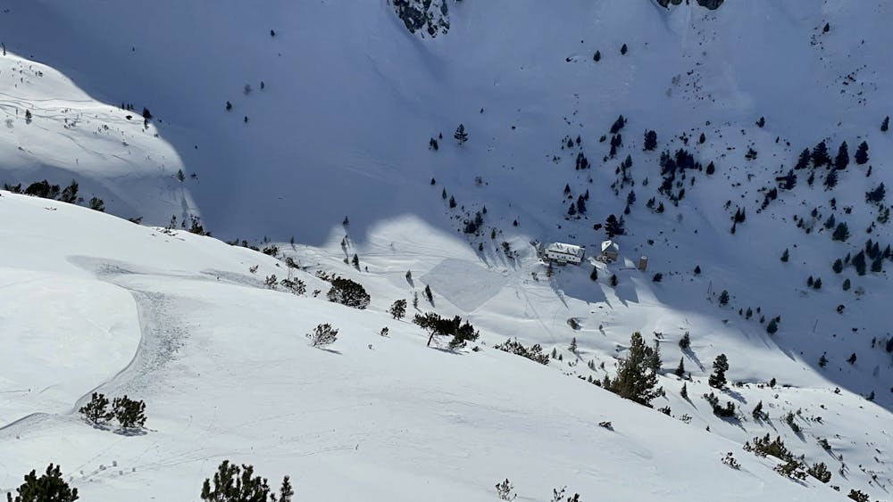
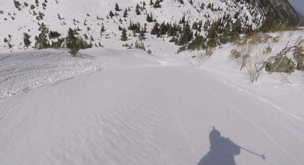
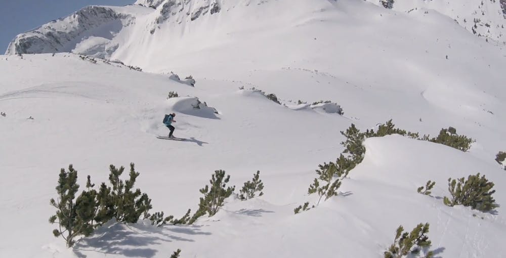
Descent starts from the highest point of the ridge all the way to the parking at 1720 m. Once you get off the skins you start descending the west face of the slope that is around 25 degrees with one a short section of a bout 30 degrees. The route passes through the "Wolf Couloir" and end up on the popular trekking route toward Malyovitsa hut. When you reach the Malyovitsa river you start following it for about 20 minutes until you end up the central resort squire and the drag lift.
Enjoy and stay safe
Difficulty
Moderate
Slopes become slightly steeper at around 25-30 degrees.
Low Exposure (E1)

Exposure is limited to that of the slope itself. Getting hurt is still likely if the slope is steep and/or the snow is hard.
Remoteness

Away from help but easily accessed.
Best time to visit
Features
- Single Descent
Equipment required
- Skins