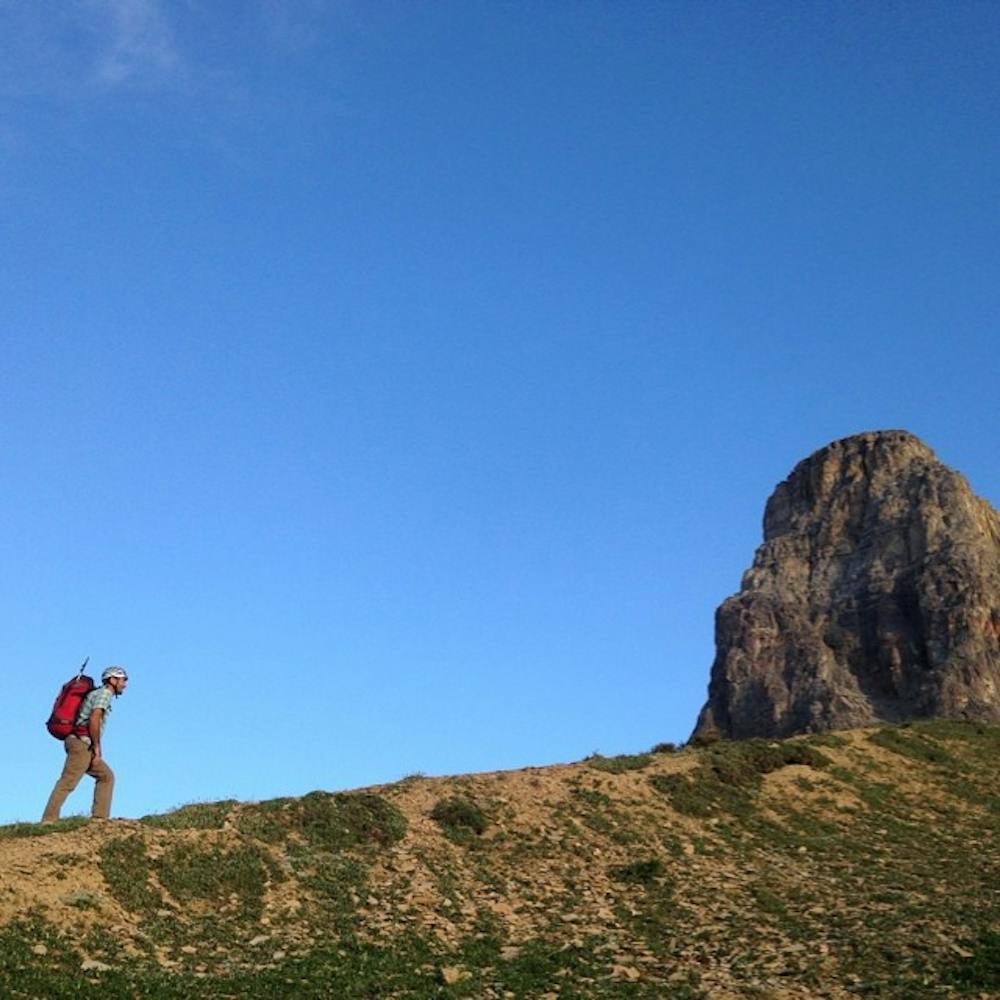
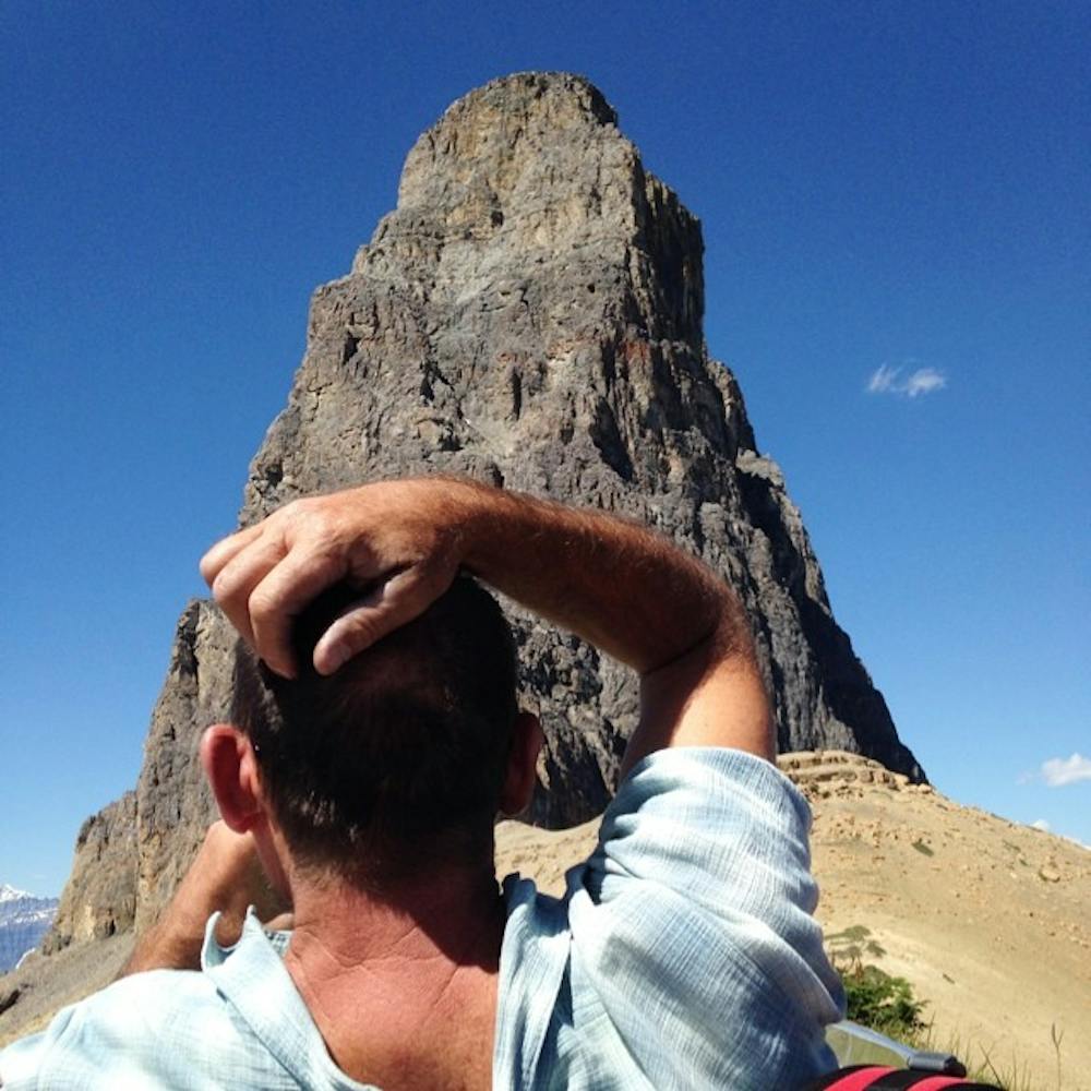
Eisenhower Tower
Banff National Park
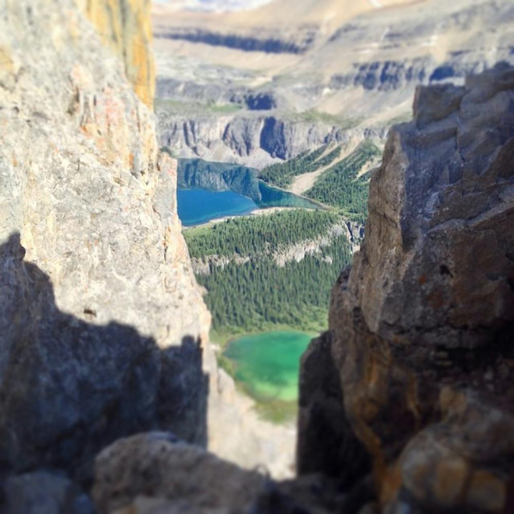
Classic Rockies Alpine Rock Route
Alpine Climbing Moderate
- Distance
- 13 km
- Ascent
- 963 m
- Descent
- 963 m
- Low Point
- 1.4 km
- High Point
- 2.4 km
- Gradient
- 21˚

From the Trans Canada Highway it's impossible not to notive the looming Eisenhower Tower. Despite it's grandeur it is not in fact it's own mountain, or even the summit.
- •
- •
- •
- •
Description
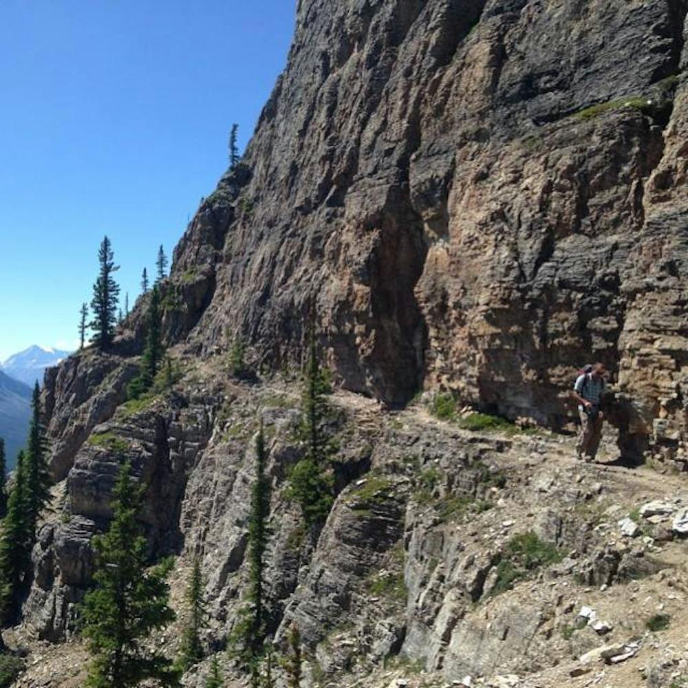
Despite this the south ridge holds on of the more popular rock alpine rock routes in the area. While most of the route is low fifth class it is typical of Rockies Limestone intermediate routes in that the crux is routefinding.
Helpfully anchor stations are located up and down the route. While I could detail my experience, I would recommend picking up a copy of Chris Perry's fantastic Banff Rock for further detail as he is more qualified than I to explain the routes characteristics.
Appraoch shoes are the recommended footwear, and it helps to start early as rockfall can get pretty bad as the route heats up.
Difficulty
Moderate
May involve slightly more complex glacier hikes, easy but possibly long rock ridges and steep snow up to 45 degrees. Equivalent to PD, PD+
High Exposure

Much of the route is difficult to protect and a fall could be disastrous at certain points.
Remoteness
Little chance of being seen or helped in case of an accident.
Best time to visit
Equipment required
- Quickdraws
- Climbing Shoes
- Wires and Friends