8.3 km away
Parker Ridge | C'est Notre Monde
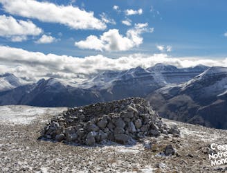
Parker Ridge, a walk between ice and mountains
Moderate Hiking
- Distance
- 6.6 km
- Ascent
- 350 m
- Descent
- 350 m
Easy walk to the edge of a large glacier.
Hiking Easy

On this trail you can walk right up to the edge of the ice where the Athabasca Glacier ends. This glacier is one of several that originates in the massive Columbia Icefield, which lies in the mountains above. Like most glaciers, this one is steadily shrinking due to warmer average annual temperatures. Signposts along the trail mark the former extent of the glacier by year, so you can see just how fast it has retreated.
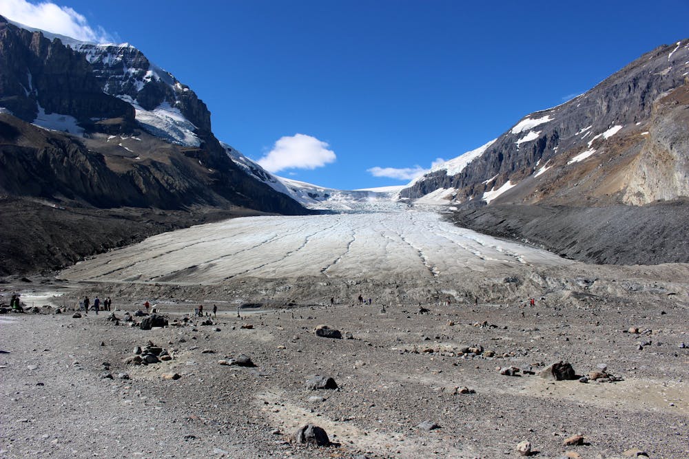
You can hike this trail at any time of year, but in the winter you should have snowshoes and/or traction devices. You will also have to start the hike from the main parking area, a bit farther away, because the access road to the Toe Trailhead is closed in the winter.
Easy
Walking along a well-kept trail that’s mostly flat. No obstacles are present.

The trail contains some obstacles such as outcroppings and rock which could cause injury.

Close to help in case of emergency.
8.3 km away
Parker Ridge, a walk between ice and mountains
Moderate Hiking

9 routes · Hiking
6 routes · Hiking