Powderface Ridge | C'est Notre Monde
Powderface Ridge, une vue imprenable sur les Rocheuses
Hiking Difficult
- Distance
- 19 km
- Ascent
- 820 m
- Descent
- 820 m
- Duration
- 5-6 hrs
- Low Point
- 1.5 km
- High Point
- 2.2 km
- Gradient
- 13˚

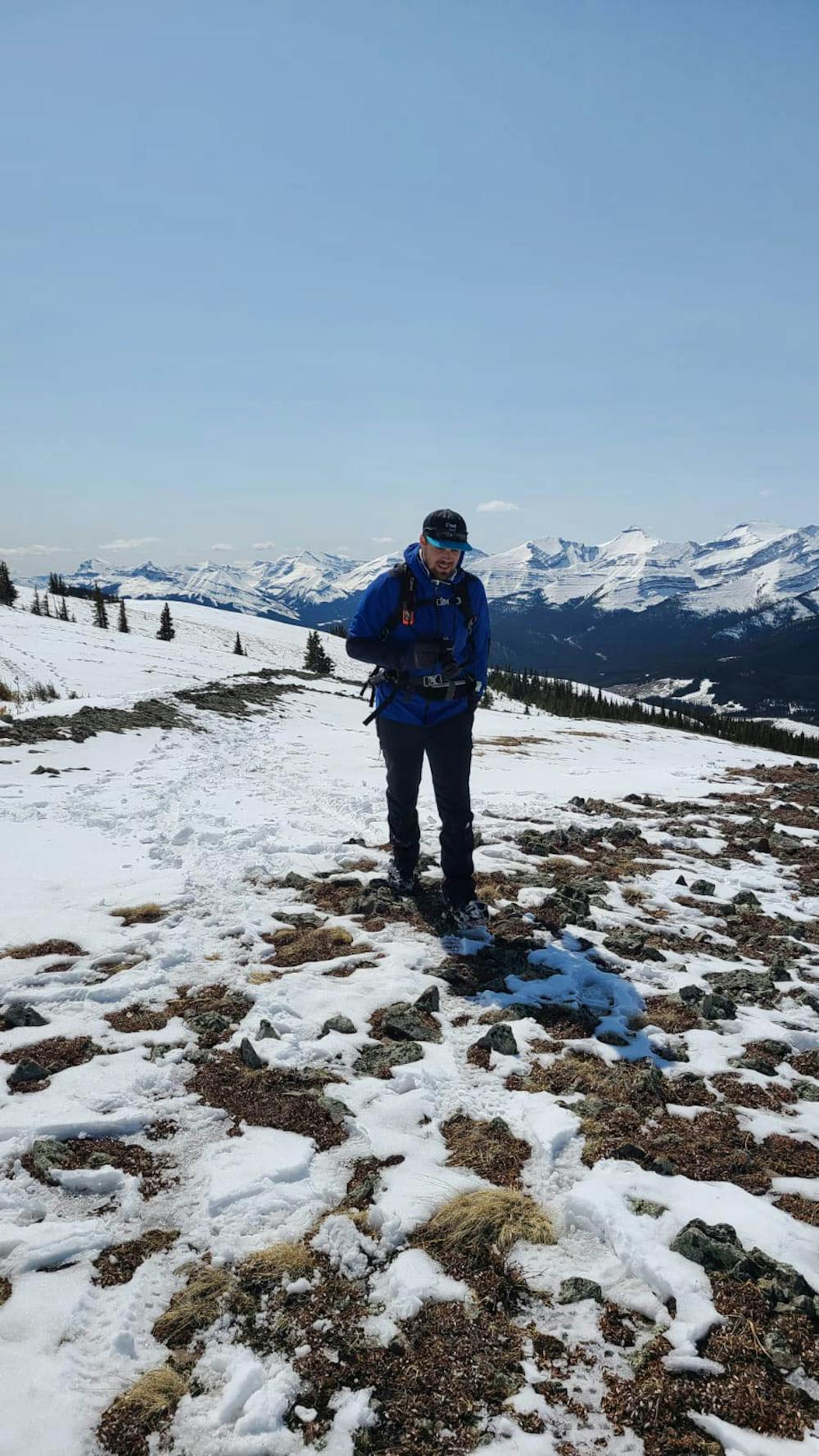
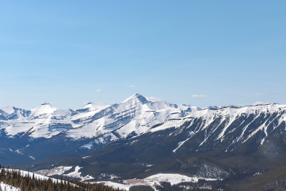
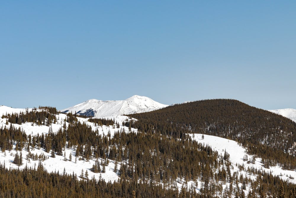
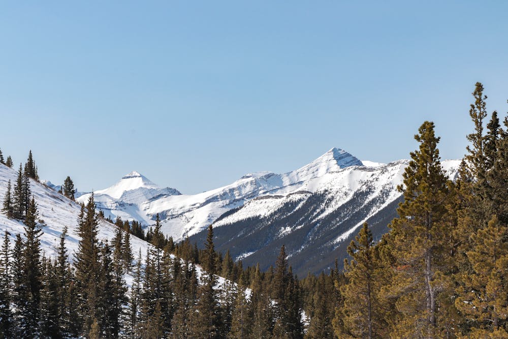
At 2210 meters, Powderface Ridge is a mountain located in the Bragg Creek region, more specifically, in the Kananaskis County Public Landing Zone. Here, we propose an itinerary accessible in both the winter and summer months that travels through Powderface creek. A long walk is necessary to access the base but your efforts will be rewarded with a magnificent view of the Rockies.
- •
- •
- •
- •
Description
Powderface Ridge est une montagne de 2210 m d’altitude située dans la région de Bragg Creek, dans la Kananaskis County Public Landing Zone. Nous te proposons d’atteindre son sommet en empruntant l’itinéraire via Powderface Creek. C’est une randonnée assez demandante de par la distance à parcourir mais qui offre une vue imprenable sur la chaine des Rocheuses et les sommets environnants. Tes efforts seront définitivement récompensés !
Difficulty
Difficult
Hiking trails where obstacles such as rocks or roots are prevalent. Some obstacles can require care to step over or around. At times, the trail can be worn and eroded. The grade of the trail is generally quite steep, and can often lead to strenuous hiking.
Medium Exposure

The trail contains some obstacles such as outcroppings and rock which could cause injury.
Remoteness

Little chance of being seen or helped in case of an accident.
Best time to visit
Features
- Alpine
- Wildlife
- Picturesque
- Summit Hike
- Dog friendly
- Wild flowers
- Water features
- Family friendly
- Forestry or heavy vegetation