Powderface Ridge
One of the best hikes in SW Alberta
Hiking Moderate
- Distance
- 13 km
- Ascent
- 577 m
- Descent
- 673 m
- Duration
- 3-4 hrs
- Low Point
- 1.7 km
- High Point
- 2.2 km
- Gradient
- 14˚

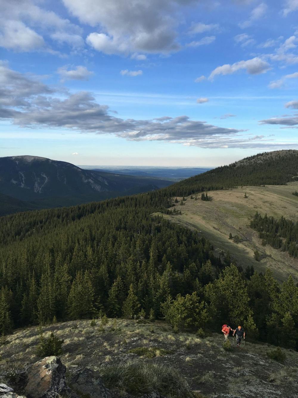
A straight-forward out-and-back route within easy reach of Calgary (~40 min) with great views. The 14 km route is well-marked and although fairly sustained ascent (~650 m) to begin with can be completed in around 3-4 hours. It is also a popular spot for geocaching and it is worthwhile traversing the whole ridge having made the effort to get there. Parking is roadside and alternatives can be made on the return leg to make the outing into a loop.
Difficulty
Moderate
Hiking along trails with some uneven terrain and small hills. Small rocks and roots may be present.
Medium Exposure

The trail contains some obstacles such as outcroppings and rock which could cause injury.
Remoteness

Little chance of being seen or helped in case of an accident.
Best time to visit
Features
- Alpine
- Picturesque
- Summit Hike
- Wild flowers
- Forestry or heavy vegetation