148 m away
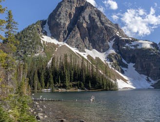
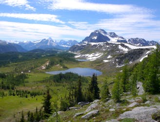
Pharaoh Peak & Egypt Lake Valley | C'est Notre Monde
3 days in the heart of Banff National Park
Severe Hiking
- Distance
- 34 km
- Ascent
- 2 km
- Descent
- 2 km
A stunning day above the treeline with beautiful meadows and alpine lakes.
Also in British Columbia, Canada
Hiking Difficult

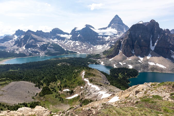
This trail is typically the start of a multiday trip to visit the breath-taking Mt Assiniboine Provincial Park.
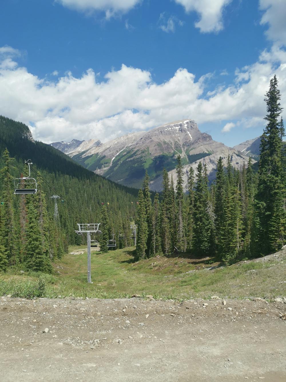
For the purposes of this route I'm going to assume the Sunshine Village Gondola is not open, as this shouldn't be relied upon as a guaranteed way to get to the main ski area.
In the event that the Gondola is open, it's well worth taking as it saves you almost 5km and 500m elevation - the equivalent of around 2 hours of hiking.
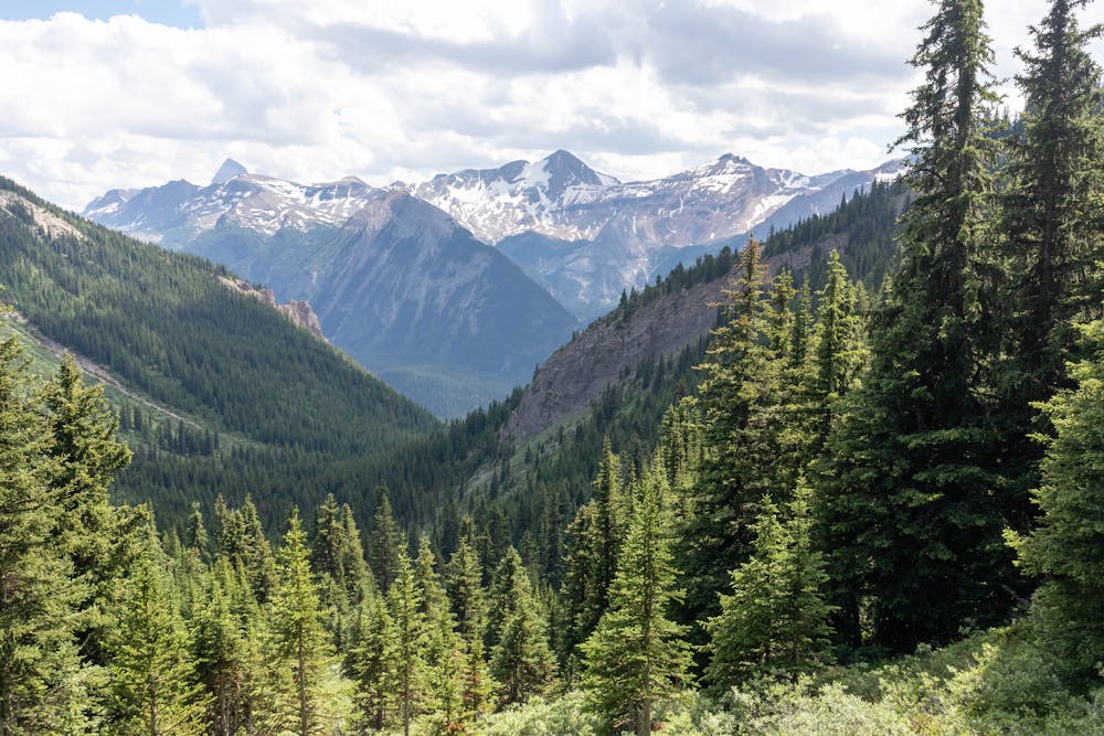
From the main ski area it's a short hike to the boundary. You are now heading deep into the backcountry, you leave cell phone service and are now in a very remote area. You have just as much chance of seeing a bear here as you do another person.
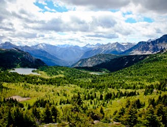
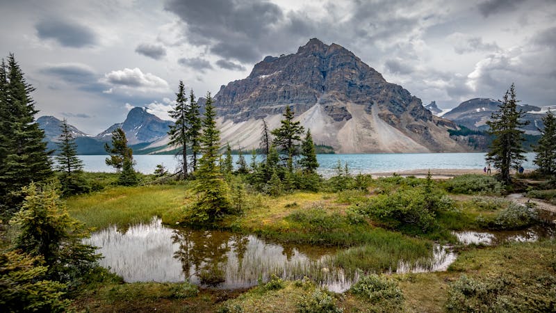
Thankfully the terrain here is at the top of the tree line, which means you will be able to see any wildlife from a distance. The views around here are outstanding and if you visit during wildflower season, the meadows are full of vibrant colours.
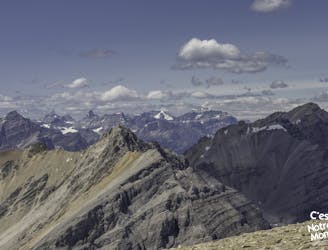
In the distance will be the first pass of the day, assuming it's a clear day, this will give you a great view of Mt Assiniboine as it towers over all the peaks in the distance.
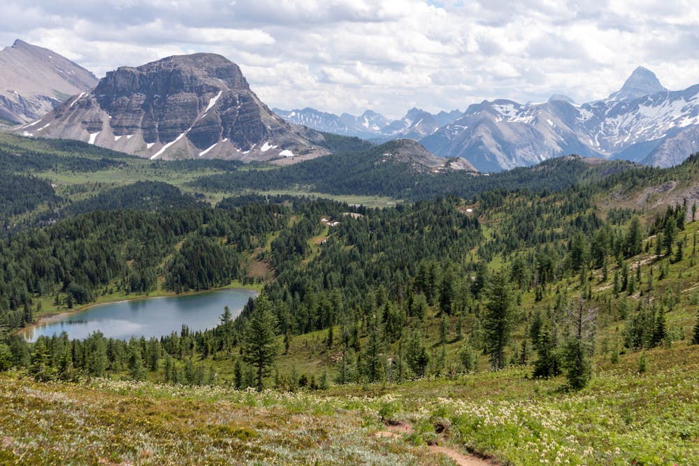
On the other side of the pass is Howard Douglas Lake. This is a beautiful lake and a great place for a quick swim if you need to cool off. You can also camp here, although it's in the National Park so prior booking is required.
As you leave the lake you begin to ascend towards Citadel Pass. This will be the last significant elevation gain for the day, so feel free to take your time and take in the outstanding beauty of this place.
Once you begin to descend down the pass, you are now getting close to the campground. The trail thus far is very well maintained and it's pretty easy going, however; the trail down to Porcupine campground is very steep and loose.
This is a challenging section of trail, hiking poles will help considerably, but taking it slow is the best approach.
When you arrive at the trail junction, if you don't plan to camp at Porcupine then follow the sign to Og Lake. This is a shortcut and will save you lots of elevation! For the purpose of this route you continue down to the campground to spend the night.
This campground is operated by BC Parks, it's a self-maintained wilderness campground. There are pit toilets and food lockers with a limited number of tent pads. No reservation is required here, it's first come first serve and there are currently no fees to stay here.
Difficult
Hiking trails where obstacles such as rocks or roots are prevalent. Some obstacles can require care to step over or around. At times, the trail can be worn and eroded. The grade of the trail is generally quite steep, and can often lead to strenuous hiking.

The trail contains some obstacles such as outcroppings and rock which could cause injury.

Little chance of being seen or helped in case of an accident.
148 m away
3 days in the heart of Banff National Park
Severe Hiking
154 m away
A popular hike with wildflowers and mountain views, plus a less-crowded extension to a remote alpine lake.
Moderate Hiking
4.3 km away
A figure-8 loop across the border into British Columbia that passes the Continental Divide and three pristine alpine lakes in Banff National Park.
Easy Hiking
6.3 km away
Majestic Trails and Alpine Wonders
Difficult Hiking
9.5 km away
A steep, direct climb to one of the most amazing summits in Banff National Park.
Severe Hiking
5 routes · Hiking
6 routes · Hiking