A Double Century loop over the highest highway in Canada: Highwood Pass
A massive loop from home over the highest roadway in Canada with a stop at the world's best jerky shop on the way back
Road Biking Moderate
- Distance
- 328 km
- Ascent
- 2.6 km
- Descent
- 2.6 km
- Duration
- 1 day +
- Low Point
- 1 km
- High Point
- 2.2 km
- Gradient
- 2˚

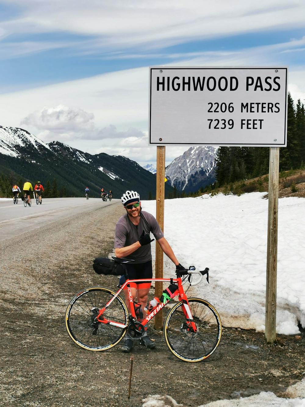
This is a paved (on highways) road ride beginning and ending in Calgary, AB, and traversing Highway 40 and the well-known, well-loved Highwood Pass. The Highwood Pass is the highest paved roadway in Canada, topping out at 2,206m.
- •
- •
- •
- •
- •
- •
- •
- •
- •
- •
Description
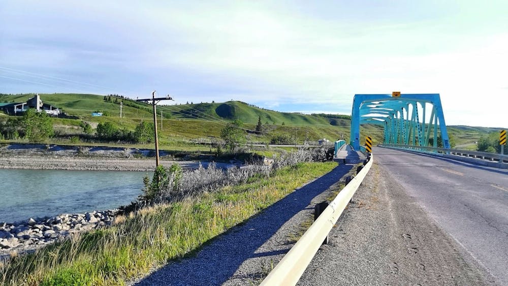
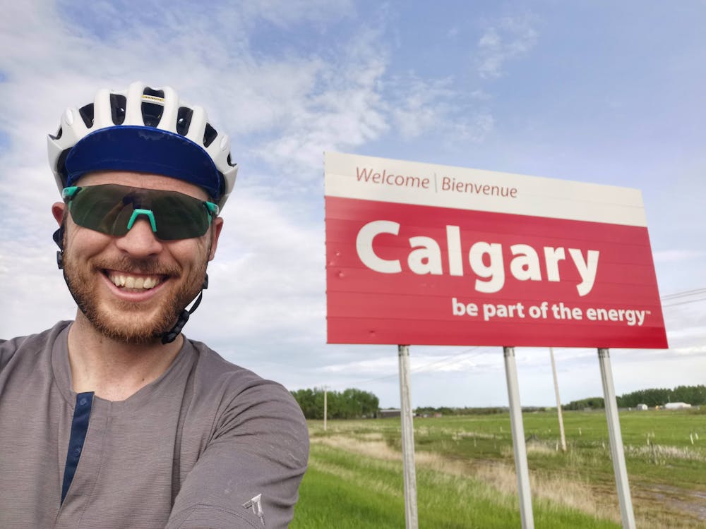
The route begins in Calgary and travels through the neighbourhood of Bowness along the Bow River to Nosehill Drive and on to Crowchild Trail in the NW. The route heads west on Crowchild, which becomes Highway 1A as it leaves the city limits. From the edge of Calgary, continue west through Cochrane and on towards Morley. You get great views of the ranchlands and Ghost Lake and reservoir en route. Head into town at the exit for Morley and cross over the Bow River. Continue through town and towards Highway 1, the TransCanada Highway.
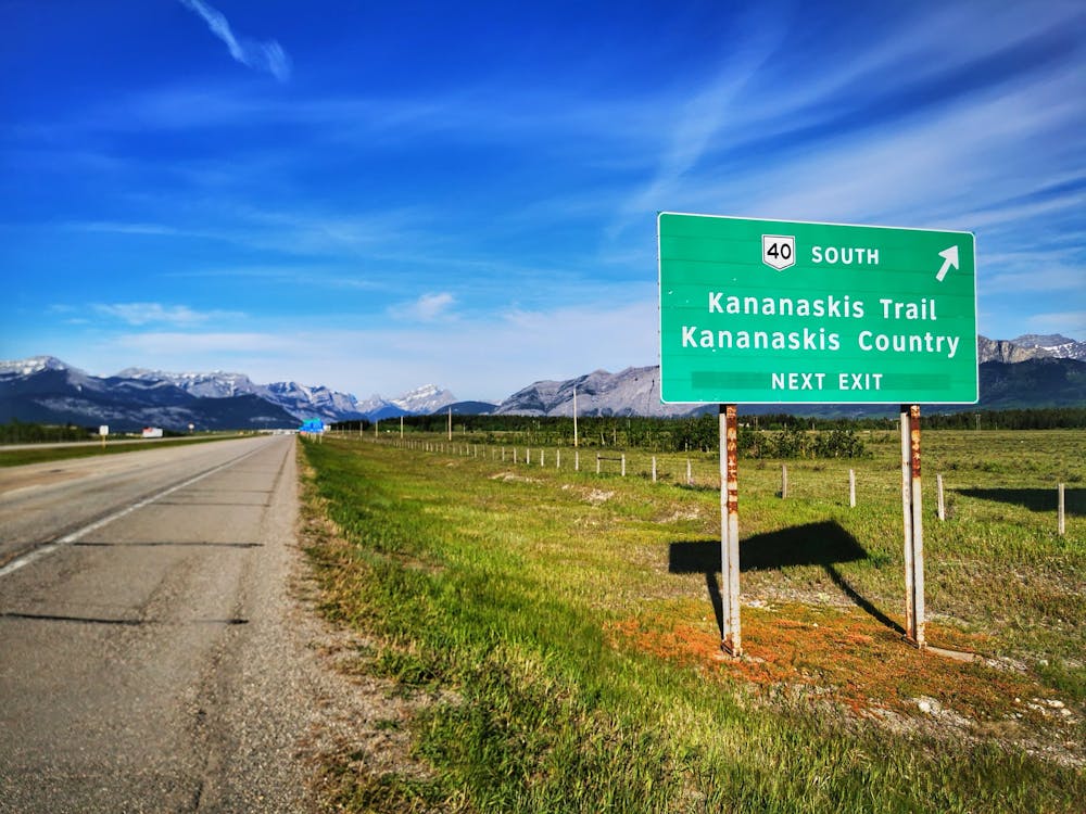
From Morley, follow the TransCanada Highway before turning south on Highway 40, entering Kananaskis Country. The route travels south along the Highway 40, the Kananaskis Trail, through the front range of the Canadian Rockies and over the 2,206m 'summit' of the Highwood Pass. There are two gas stations open year-round that are helpful for a rest and refuelling. One is just after leaving Highway 1 and getting onto Highway 40. The second is at the Fortress Mountain junction, about 45km along Highway 40.
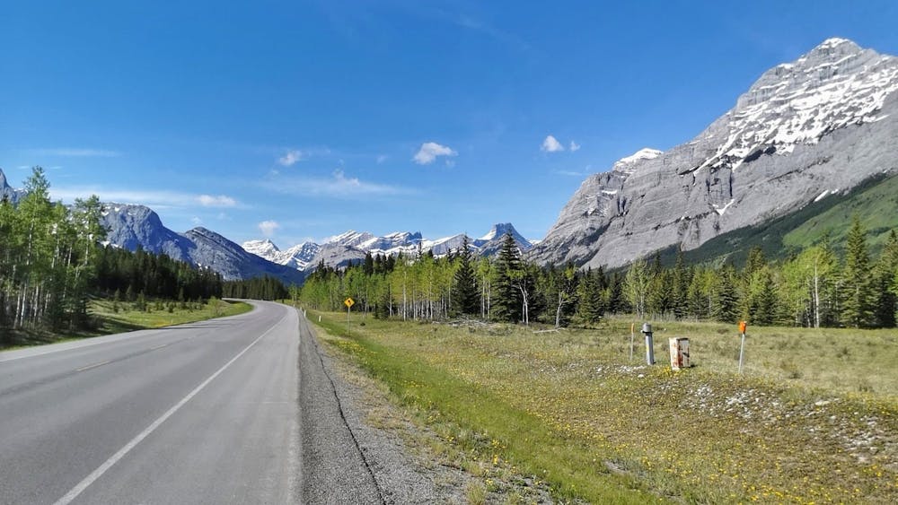
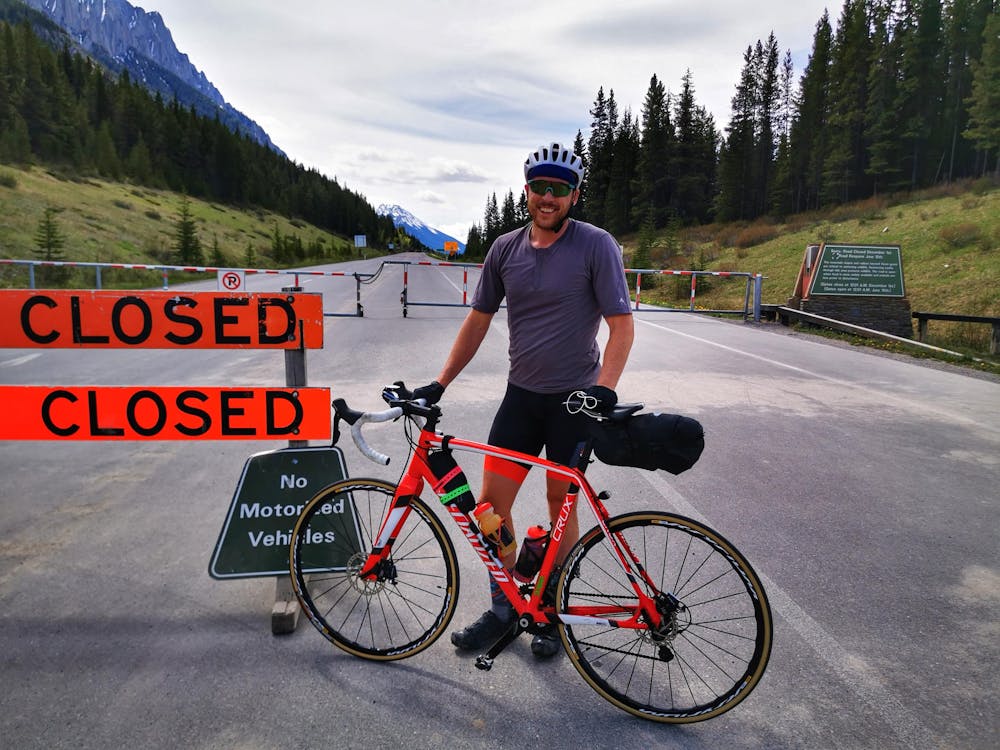
The climb over the pass begins, in earnest, at the gate closure where Highway 741 deviates from Highway 40. The climb is approximately 14km and gains about 650m. It is a punchy and fairly steep climb up to the highest point at 2,206m. From the summit sign, the road descends over 30km to the southern gate closure. This southern section features some of the most beautiful, and lesser seen, mountains of Kananaskis. Fewer cyclists attempt this side of the pass and, with 30km to the gate, there is lots of road to cruise along after a long ride to the summit from Calgary.
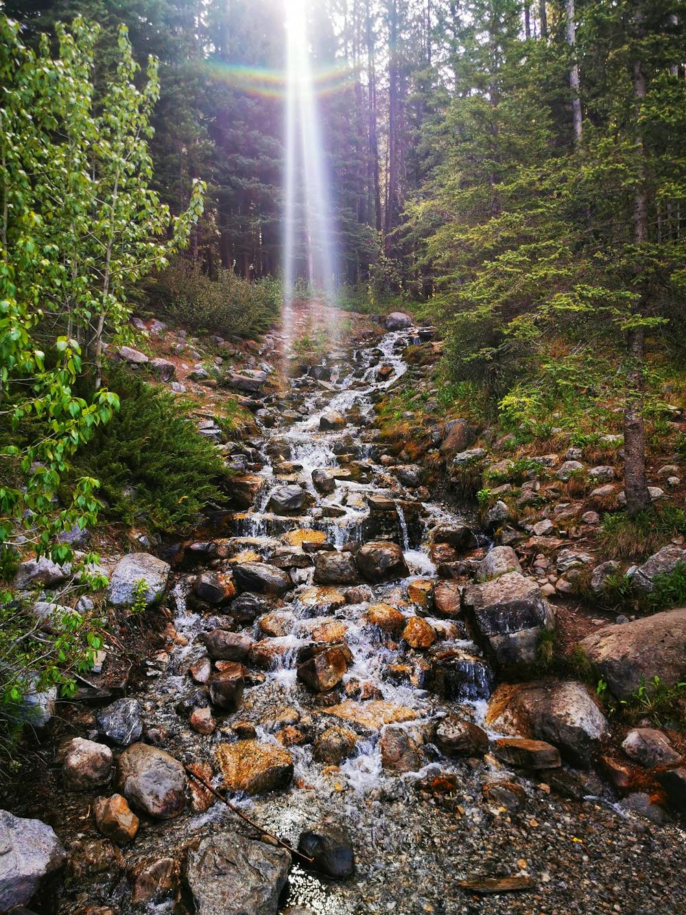
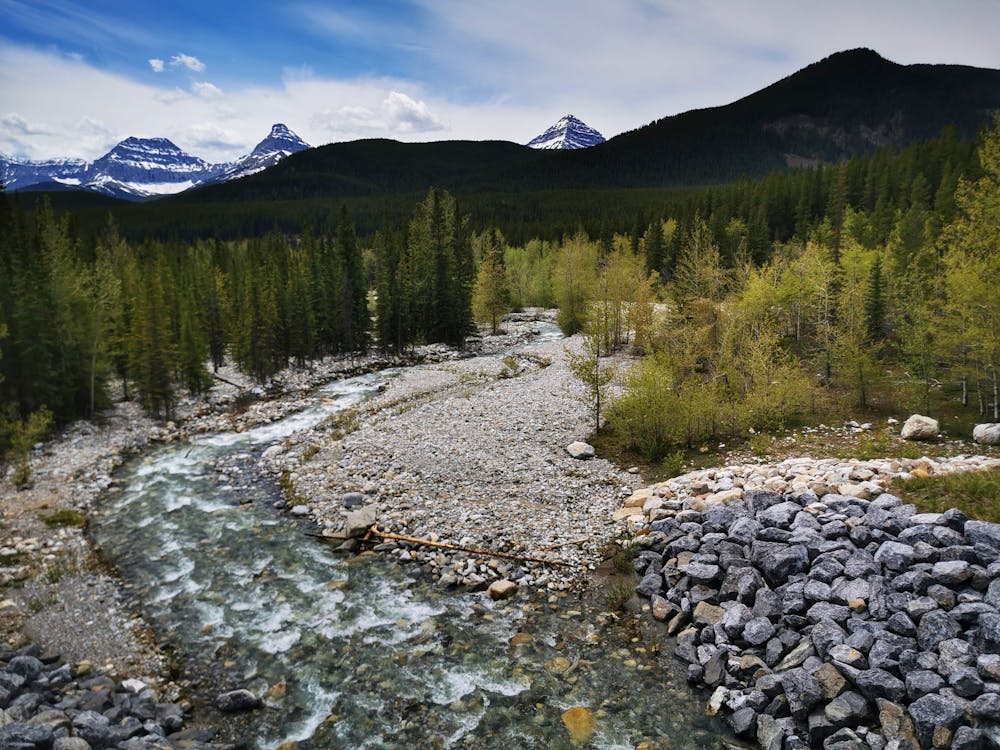
To note, there are many creeks along the way that cross under Highway 40 and are relatively safe to collect water from. A filter would be recommended but the many creeks offer clear, cold, and delicious opportunities to refill bottles.
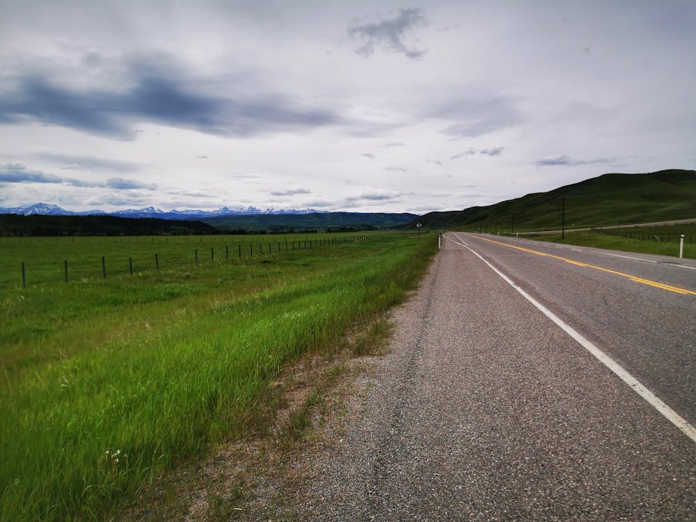
The route eventually meanders around the south end of the mountain range, where Highway 40 becomes Highway 541. At this point, the route travels east and north and arrives in the town of Longview, home to the greatest jerky shop in the world! The stretch between Highwood Pass's southern gate and Longview is full of beautiful foothills and ranchlands. Once in town, Longview Jerky is a perfect stop for a needed reprieve before the final stretch back to Calgary.
From Longview, the route travels north along Highway 22, the Cowboy Trail, through Black Diamond, Turner Valley, and Millarville. The 10-mile section between Longview and Black Diamond is dead straight with numerous rolling climbs and descents. From Black Diamond, Highway 22 meanders at first west and then north to the Highway 22X junction. At the Highway 22X junction, near Priddis, the route heads east (on 22X) to the SW corner of Calgary's city limits.
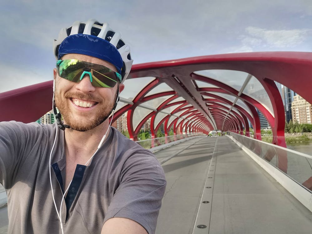
The route travels north to the start point along the western edge of the city. The first kilometres within the city are along 37 Street, a still fairly rural byway, at this point. The route passes Fish Creek Provincial Park and joins on Calgary's river pathway system to reach the Glenmore Reservoir and Weaselhead Flats. From the North Glenmore Park, the route continues along the pathways along the Elbow River and Bow River through city centre, finishing where it started along the banks of the Bow River.
The draw of this route is that Highway 40 is one of the most beautiful roadways in Canada. In late May and early June, it is free of snow and often with great weather providing an ideal riding experience with an unbeatable aesthetic. What makes this so incredibly special is that the southern 55km of the double-lane highway is closed to vehicle traffic until June 15, allowing riders a highway in the mountains all to themselves!
Get out for a rip if you can!
Difficulty
Moderate
Remoteness

Away from help but easily accessed.