Mount Edith
Banff National Park
Make it an out and back or a fun loop. Try to spot the cool tree if you do the loop (hint it is up high and looks pretty cool)
Trail Running Difficult
- Distance
- 13 km
- Ascent
- 1.1 km
- Descent
- 1.2 km
- Duration
- 2-3 hrs
- Low Point
- 1.4 km
- High Point
- 2.6 km
- Gradient
- 20˚
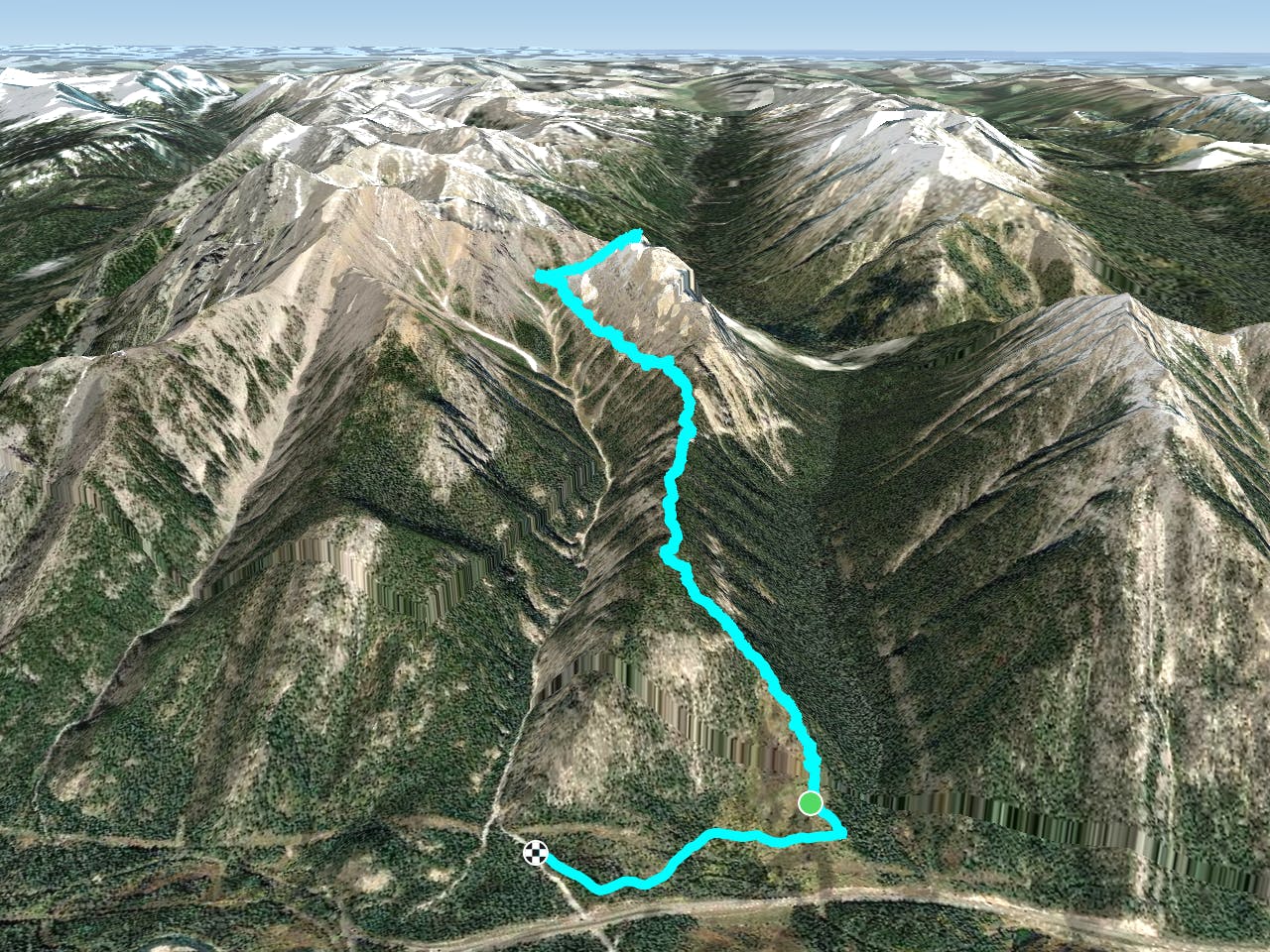
Run the valley and climb up to a beautiful view with mountains surrounding you. As you hit the switchbacks and can see the pass this is where the work will begin. Getting up Edith is technical and challenging. Route finding and scrambling to reach the peak. Once on top it is like a whole new world up there.
Description
If you choose to stay on the loop you can run it either way and there is not a bad way to do it. You gain elevation either early or later in the run but are still rewarded with unique mountain views.
Difficulty
Difficult
High Exposure

Some trail sections have exposed ledges or steep ascents/descents where falling could cause serious injury.
Remoteness

Away from help but easily accessed.