Mount Lady MacDonald
Canmore
Very well defined trail with higher traffic. Trail starts off nice and simple and as you gain elevation the trail gets more technical.
Trail Running Moderate
- Distance
- 9.2 km
- Ascent
- 928 m
- Descent
- 928 m
- Duration
- 2-3 hrs
- Low Point
- 1.4 km
- High Point
- 2.3 km
- Gradient
- 16˚

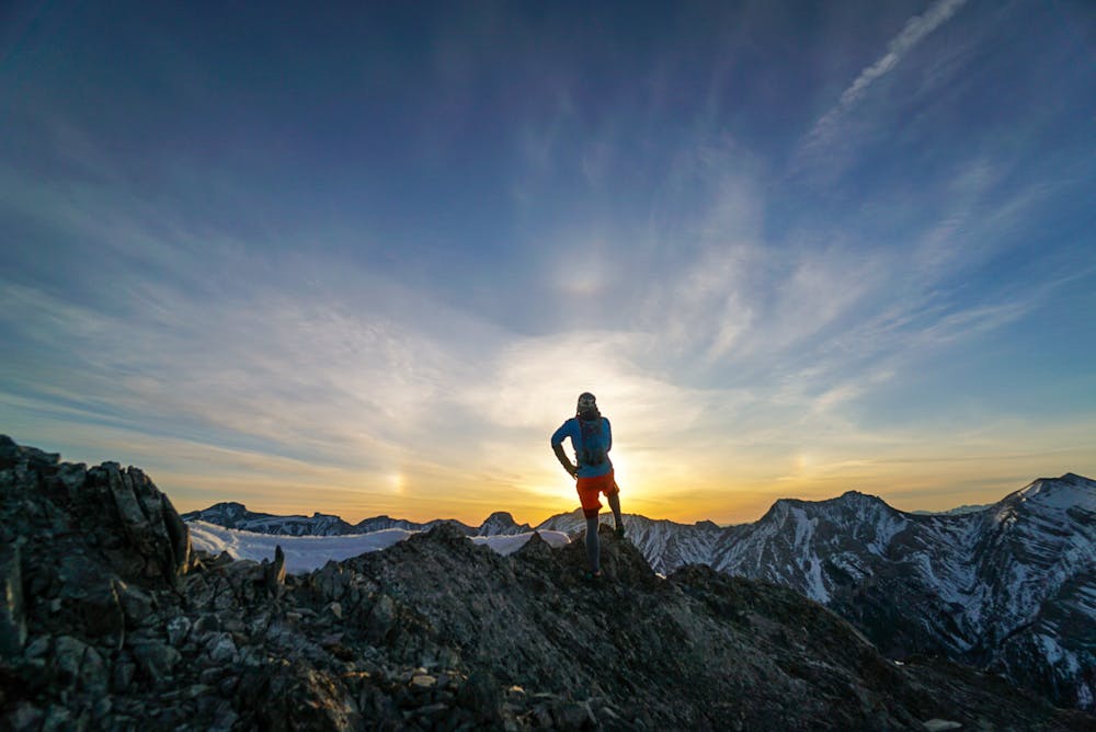
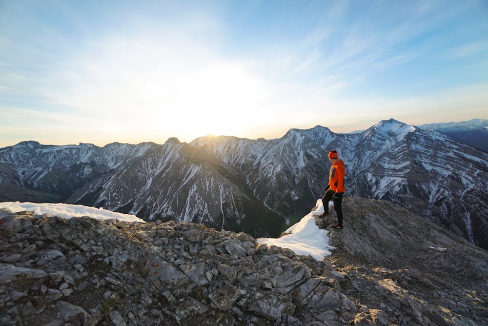
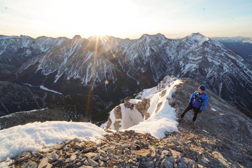
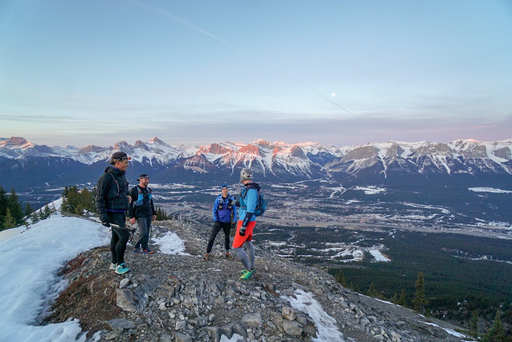
Starting off you get a nice warm up before you start climbing up. The trail starts out very simple but as you gain elevation you will start getting into more technical terrain. The trail is well defined but once you get to the old heli pad the trail beyond that is more of a scramble. Most people stop at the helipad. If you want to keep going it becomes a bit harder scramble up to the ridge. It offers amazing views and is best for sunrise. As you head down you will travel the same trail you came up. As its technical footing in certain areas it will become easier as descend. If doing this in the winter you need to wear micro spikes for grip on the snow and ice.
- •
- •
- •
- •
Difficulty
Moderate
Medium Exposure

The trail contains some obstacles such as outcroppings and rock which could cause injury.
Remoteness

Close to help in case of emergency.