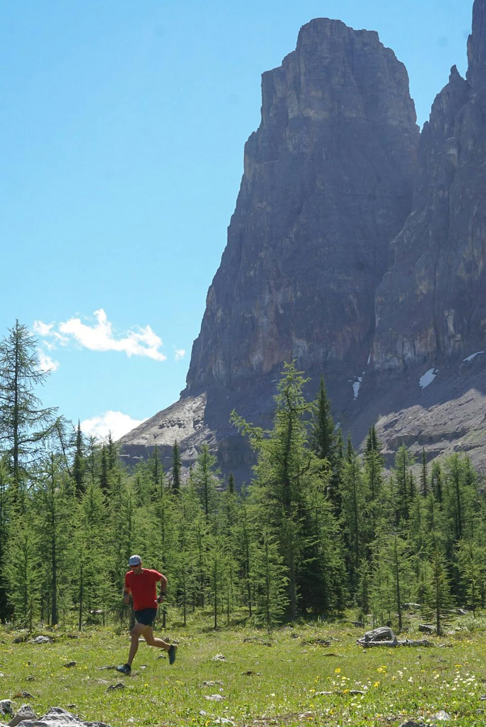
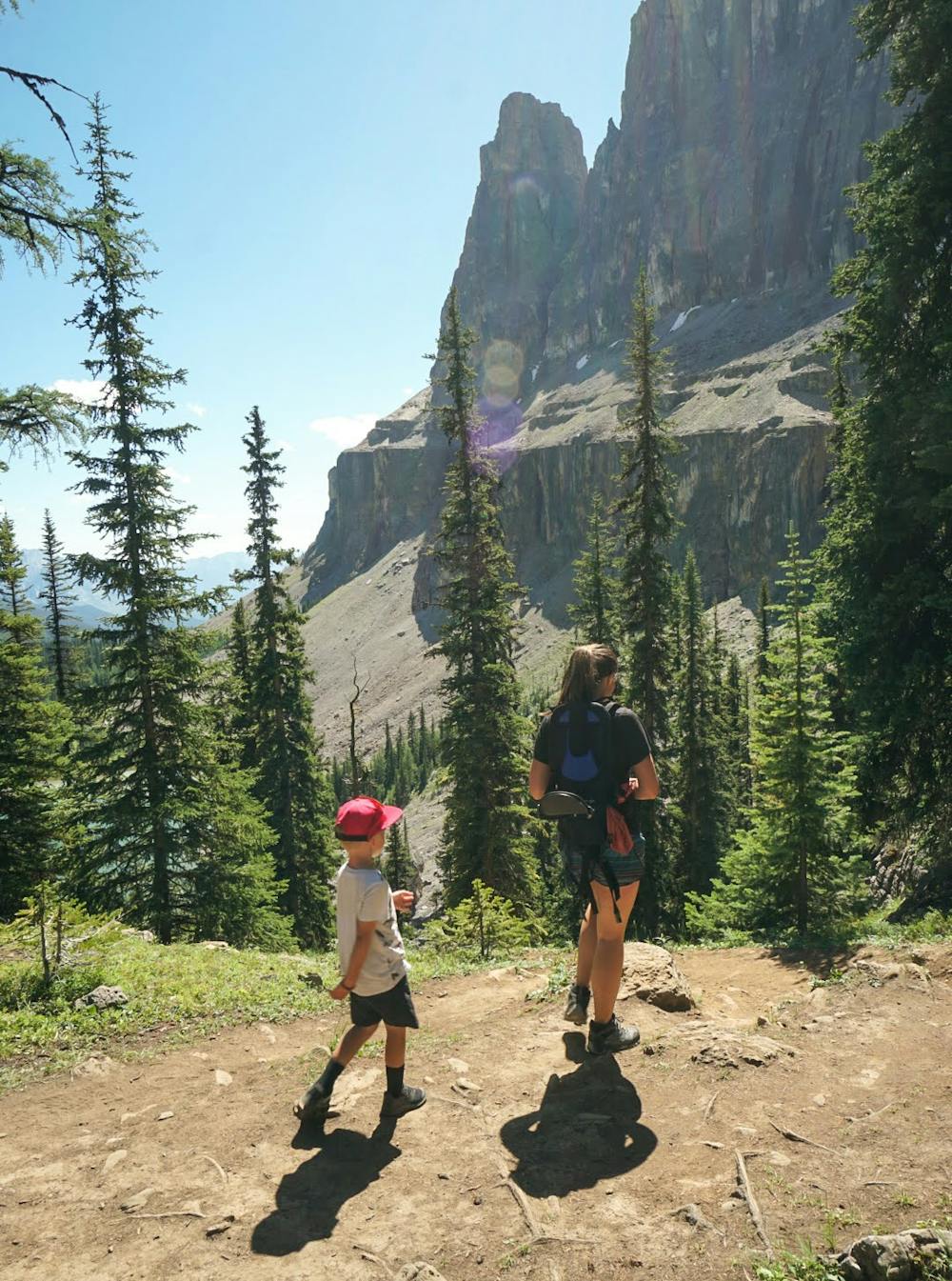
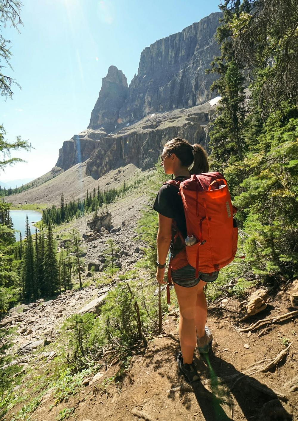
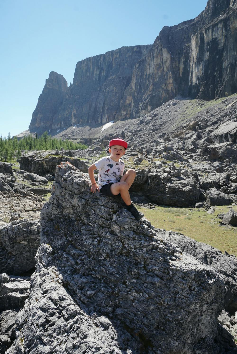
Rockbound Lake
Banff National Park
A long but gentle walk to a beautiful lake and alpine meadows.
Trail Running Difficult
- Distance
- 18 km
- Ascent
- 904 m
- Descent
- 904 m
- Duration
- 2-3 hrs
- Low Point
- 1.4 km
- High Point
- 2.3 km
- Gradient
- 12˚

This hike or run is ranked as difficult due to the distance. The terrain is very straightforward and low hazard. The distance is where you might struggle.
- •
- •
- •
- •
- •
- •
- •
- •
Description
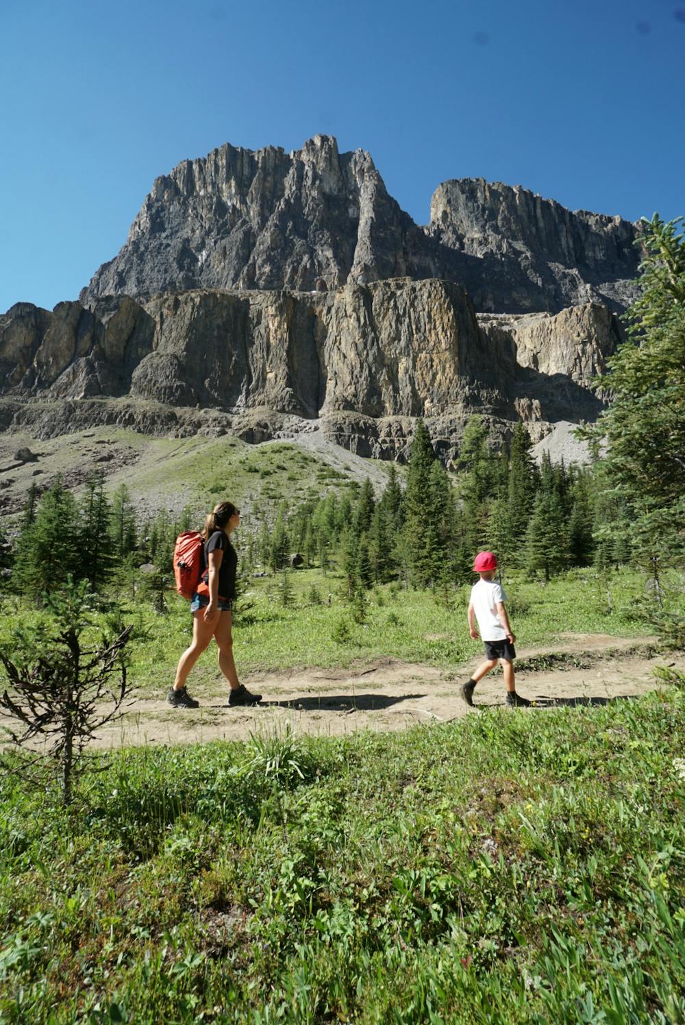
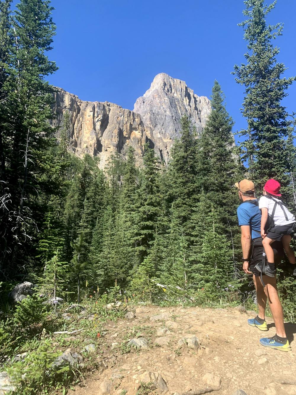
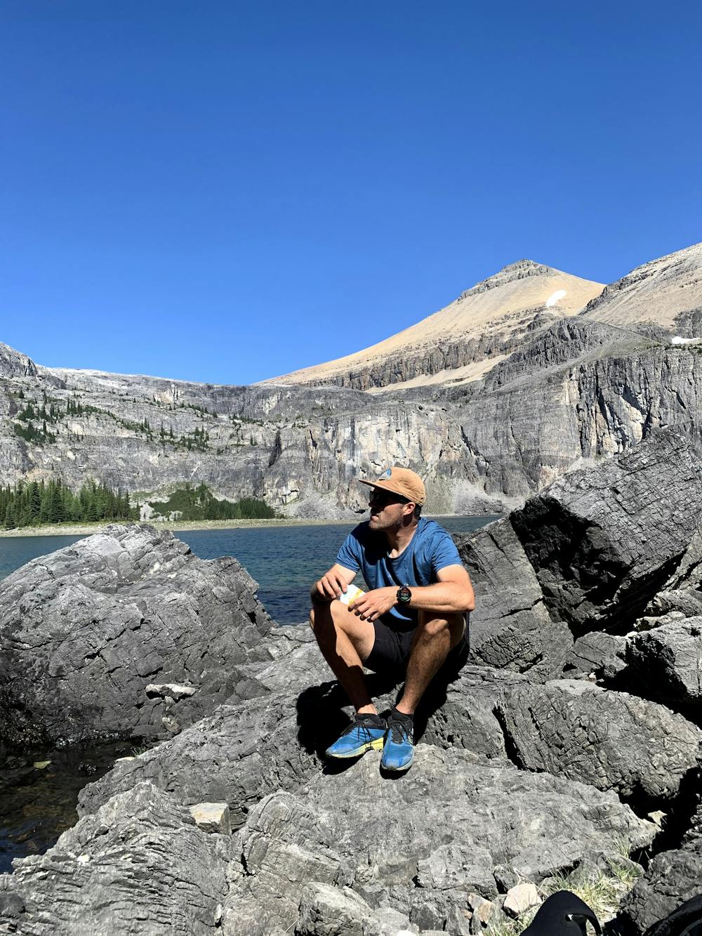
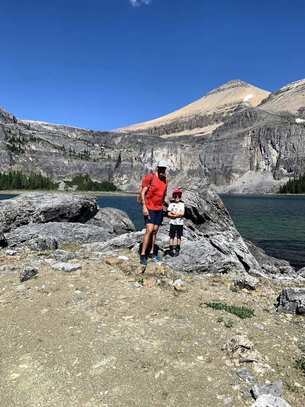
The trail starts off and gradually climbs up, and after a while in the trees, you will pass a nice little creek area where you will start to see Castle mountain right above you. You will follow the trail as you head to the first lake. Rockbound Lake is after this lake. You will have a small and challenging climb to the end of the trail where Rockbound lake can be seen. You can enjoy it from there or skirt to the lookers right of the lake for the viewpoint, which is another climb up.
There are tons of wildflowers and water on this trail.
Difficulty
Difficult
Medium Exposure

The trail contains some obstacles such as outcroppings and rock which could cause injury.
Remoteness

Little chance of being seen or helped in case of an accident.